
The Poplars Collection
"The Poplars: A Scenic Journey Across the UK" Embark on a picturesque journey through the stunning landscapes of Mole Valley, Huntingdonshire, Nottingham, Bassetlaw


For sale as Licensed Images
Choose your image, Select your licence and Download the media
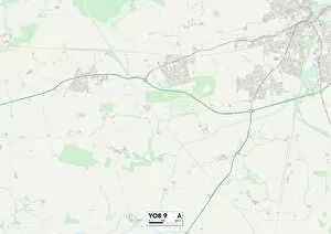
"The Poplars: A Scenic Journey Across the UK" Embark on a picturesque journey through the stunning landscapes of Mole Valley, Huntingdonshire, Nottingham, Bassetlaw, Dudley, York, Wigan, Eastleigh, Sunderland, North Hertfordshire, Central Bedfordshire and Wiltshire. The captivating beauty of these regions is perfectly epitomized by the majestic poplar trees that grace their surroundings. In Mole Valley (RH5 5), map your way to a tranquil oasis where rows of poplars sway gracefully in the gentle breeze. Their slender trunks and vibrant green leaves create an enchanting sight that soothes both body and soul. Travel further north to Huntingdonshire (PE28 3) where you'll discover a hidden gem nestled amidst rolling hills. Here lies a secret grove of poplars whose towering presence adds an air of mystery to this idyllic countryside. Nottingham (NG7 5) beckons with its urban charm juxtaposed against nature's splendor. Amidst bustling streets and historic architecture stand proud poplars that provide shade for weary travelers seeking respite from city life. Venture into Bassetlaw (DN22 8) and be greeted by a symphony of rustling leaves as countless poplars dance harmoniously in unison. This serene landscape offers solace to those seeking serenity away from the chaos of everyday life. Dudley (DY8 5) boasts an impressive display of resilience as sturdy poplar trees line its streets with unwavering strength. These guardians silently watch over the town's rich history while offering shelter to all who pass beneath their branches. York (YO8 9) enchants visitors with its medieval charm intertwined with natural wonders. Wander along cobbled paths adorned by elegant poplar trees that have stood witness to centuries-old tales whispered among ancient walls.