The Square Collection (page 3)

"The Square: A Historic Gem in Shrewsbury, England" Nestled in the heart of Shropshire, England

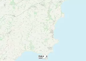
Background imageThe Square Collection: Cornwall PL26 6 Map

Cornwall PL26 6 Map
Postcode Sector Map of Cornwall PL26 6

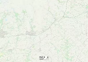
Background imageThe Square Collection: South Hams PL21 0 Map

South Hams PL21 0 Map
Postcode Sector Map of South Hams PL21 0

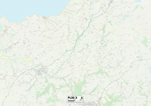
Background imageThe Square Collection: Cornwall PL30 3 Map

Cornwall PL30 3 Map
Postcode Sector Map of Cornwall PL30 3

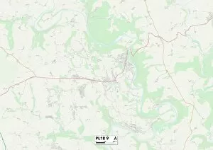
Background imageThe Square Collection: Cornwall PL18 9 Map

Cornwall PL18 9 Map
Postcode Sector Map of Cornwall PL18 9

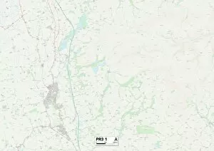
Background imageThe Square Collection: Fylde PR3 1 Map

Fylde PR3 1 Map
Postcode Sector Map of Fylde PR3 1

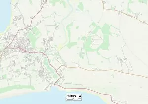
Background imageThe Square Collection: Isle of Wight PO40 9 Map

Isle of Wight PO40 9 Map
Postcode Sector Map of Isle of Wight PO40 9

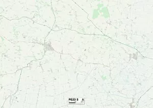
Background imageThe Square Collection: East Lindsey PE23 5 Map

East Lindsey PE23 5 Map
Postcode Sector Map of East Lindsey PE23 5

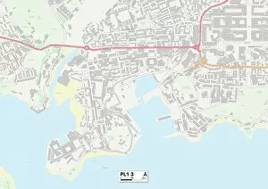
Background imageThe Square Collection: Plymouth PL1 3 Map

Plymouth PL1 3 Map
Postcode Sector Map of Plymouth PL1 3

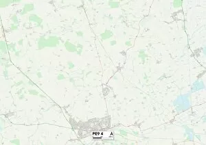
Background imageThe Square Collection: South Kesteven PE9 4 Map

South Kesteven PE9 4 Map
Postcode Sector Map of South Kesteven PE9 4

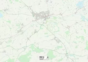
Background imageThe Square Collection: South Kesteven PE9 3 Map

South Kesteven PE9 3 Map
Postcode Sector Map of South Kesteven PE9 3

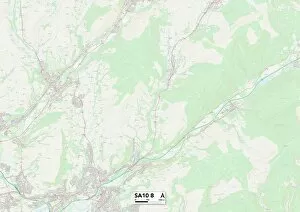
Background imageThe Square Collection: Neath Port Talbot SA10 8 Map

Neath Port Talbot SA10 8 Map
Postcode Sector Map of Neath Port Talbot SA10 8

Background imageThe Square Collection: Stockport SK4 2 Map

Stockport SK4 2 Map
Postcode Sector Map of Stockport SK4 2

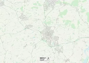
Background imageThe Square Collection: East Northamptonshire NN14 1 Map

East Northamptonshire NN14 1 Map
Postcode Sector Map of East Northamptonshire NN14 1

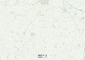
Background imageThe Square Collection: Daventry NN11 3 Map

Daventry NN11 3 Map
Postcode Sector Map of Daventry NN11 3

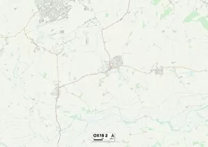
Background imageThe Square Collection: West Oxfordshire OX18 2 Map

West Oxfordshire OX18 2 Map
Postcode Sector Map of West Oxfordshire OX18 2

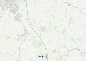
Background imageThe Square Collection: Cherwell OX17 3 Map

Cherwell OX17 3 Map
Postcode Sector Map of Cherwell OX17 3

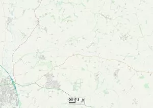
Background imageThe Square Collection: Cherwell OX17 2 Map

Cherwell OX17 2 Map
Postcode Sector Map of Cherwell OX17 2

Background imageThe Square Collection: Cherwell OX15 5 Map

Cherwell OX15 5 Map
Postcode Sector Map of Cherwell OX15 5

Background imageThe Square Collection: West Oxfordshire OX7 4 Map

West Oxfordshire OX7 4 Map
Postcode Sector Map of West Oxfordshire OX7 4

Background imageThe Square Collection: Peterborough PE1 5 Map

Peterborough PE1 5 Map
Postcode Sector Map of Peterborough PE1 5

Background imageThe Square Collection: Argyllshire PA43 7 Map

Argyllshire PA43 7 Map
Postcode Sector Map of Argyllshire PA43 7

Background imageThe Square Collection: Perth and Kinross PH1 3 Map

Perth and Kinross PH1 3 Map
Postcode Sector Map of Perth and Kinross PH1 3

Background imageThe Square Collection: Berkshire RG7 1 Map

Berkshire RG7 1 Map
Postcode Sector Map of Berkshire RG7 1

Background imageThe Square Collection: Chorley PR6 8 Map

Chorley PR6 8 Map
Postcode Sector Map of Chorley PR6 8

Background imageThe Square Collection: South Oxfordshire RG8 7 Map

South Oxfordshire RG8 7 Map
Postcode Sector Map of South Oxfordshire RG8 7

Background imageThe Square Collection: Sussex PO22 0 Map

Sussex PO22 0 Map
Postcode Sector Map of Sussex PO22 0

Background imageThe Square Collection: South Ribble PR25 4 Map

South Ribble PR25 4 Map
Postcode Sector Map of South Ribble PR25 4

Background imageThe Square Collection: Tandridge RH7 6 Map

Tandridge RH7 6 Map
Postcode Sector Map of Tandridge RH7 6

Background imageThe Square Collection: Caerphilly NP12 3 Map

Caerphilly NP12 3 Map
Postcode Sector Map of Caerphilly NP12 3

Background imageThe Square Collection: Norfolk NR21 9 Map

Norfolk NR21 9 Map
Postcode Sector Map of Norfolk NR21 9

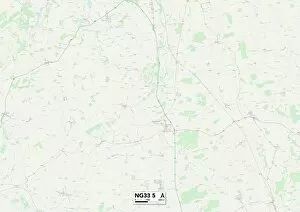
Background imageThe Square Collection: South Kesteven NG33 5 Map

South Kesteven NG33 5 Map
Postcode Sector Map of South Kesteven NG33 5

Background imageThe Square Collection: Nottingham NG11 0 Map

Nottingham NG11 0 Map
Postcode Sector Map of Nottingham NG11 0

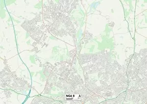
Background imageThe Square Collection: Nottingham NG6 8 Map

Nottingham NG6 8 Map
Postcode Sector Map of Nottingham NG6 8

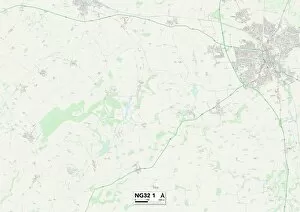
Background imageThe Square Collection: South Kesteven NG32 1 Map

South Kesteven NG32 1 Map
Postcode Sector Map of South Kesteven NG32 1

Background imageThe Square Collection: Daventry NN7 1 Map

Daventry NN7 1 Map
Postcode Sector Map of Daventry NN7 1

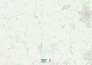
Background imageThe Square Collection: Daventry NN6 9 Map

Daventry NN6 9 Map
Postcode Sector Map of Daventry NN6 9

Background imageThe Square Collection: Northampton NN5 4 Map

Northampton NN5 4 Map
Postcode Sector Map of Northampton NN5 4

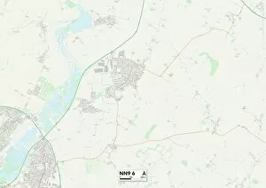
Background imageThe Square Collection: Wellingborough NN9 6 Map

Wellingborough NN9 6 Map
Postcode Sector Map of Wellingborough NN9 6

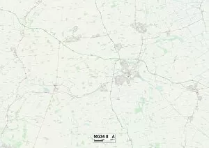
Background imageThe Square Collection: North Kesteven NG34 8 Map

North Kesteven NG34 8 Map
Postcode Sector Map of North Kesteven NG34 8

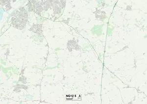
Background imageThe Square Collection: Rushcliffe NG12 5 Map

Rushcliffe NG12 5 Map
Postcode Sector Map of Rushcliffe NG12 5

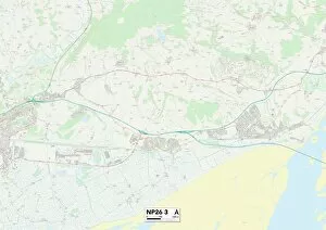
Background imageThe Square Collection: Monmouthshire NP26 3 Map

Monmouthshire NP26 3 Map
Postcode Sector Map of Monmouthshire NP26 3

Background imageThe Square Collection: Blaenau Gwent NP24 6 Map

Blaenau Gwent NP24 6 Map
Postcode Sector Map of Blaenau Gwent NP24 6

Background imageThe Square Collection: Milton Keynes MK12 5 Map

Milton Keynes MK12 5 Map
Postcode Sector Map of Milton Keynes MK12 5

Background imageThe Square Collection: Bedford MK45 3 Map

Bedford MK45 3 Map
Postcode Sector Map of Bedford MK45 3

Background imageThe Square Collection: Aylesbury Vale MK18 5 Map

Aylesbury Vale MK18 5 Map
Postcode Sector Map of Aylesbury Vale MK18 5

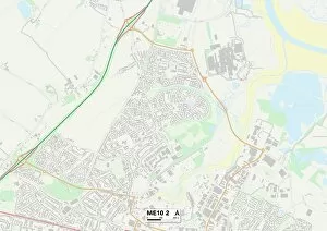
Background imageThe Square Collection: Swale ME10 2 Map

Swale ME10 2 Map
Postcode Sector Map of Swale ME10 2

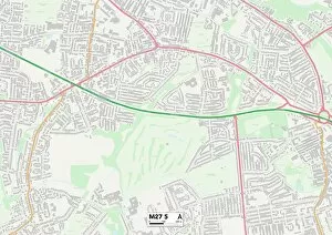
Background imageThe Square Collection: Salford M27 5 Map

Salford M27 5 Map
Postcode Sector Map of Salford M27 5

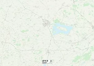
Background imageThe Square Collection: Rutland LE15 8 Map

Rutland LE15 8 Map
Postcode Sector Map of Rutland LE15 8


For sale as Licensed Images

Choose your image, Select your licence and Download the media

"The Square: A Historic Gem in Shrewsbury, England" Nestled in the heart of Shropshire, England, The Square stands as a testament to the rich history and charm of this picturesque town. Located in Shrewsbury, a quaint market town known for its medieval architecture and scenic landscapes, a hub of activity that captivates both locals and visitors alike. As you stroll through The Square and High Street shops, you'll be greeted by an array of charming boutiques and traditional storefronts. From local artisans showcasing their crafts to well-known brands offering unique treasures, there's something for everyone here. Lose yourself amidst the vibrant energy as shoppers bustle about or simply take a moment to soak up the atmosphere while sipping on a cup of tea at one of the cozy cafes. A prominent feature within the iconic Old Market Hall accompanied by the majestic statue honoring Robert Clive. This historic landmark serves as a reminder of Shrewsbury's significant role throughout history. As you admire Clive's statue standing tall against the backdrop of this bustling square, it becomes evident why he was celebrated for his contributions during his time in India. While we speak fondly about "The Square" in Shrewsbury today, it's worth noting that other places across England bear this name too. In Barnstaple back in September 1934 or even Redcar & Cleveland TS13 4 Map area - each with its own unique character waiting to be explored. So whether you find yourself wandering through New Forest SO45 1 Map or Hampshire RG24 9 Map regions down south or venturing north towards Fylde PR3 2 Map or South Oxfordshire OX14 3 Map areas – remember that "The Square" has stories to tell wherever it may be found. No matter which location bears this name - from Leicester LE17 6 Map to Kirklees HD8 8 Map.