
Vasilii Petrovich Piadyshev Collection
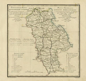
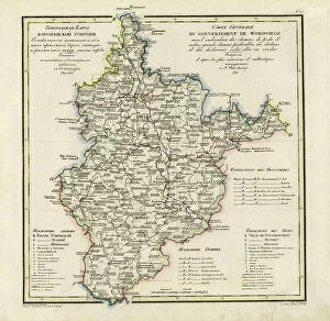
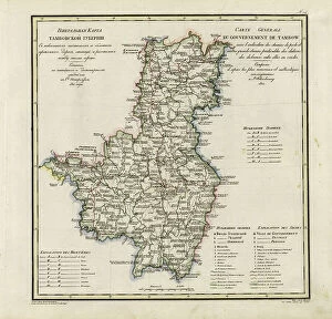
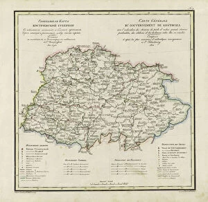
Vasilii Petrovich Piadyshev: The Unheralded Cartographer of Imperial Russia (1820-1822) Amidst the grandeur and expansion of the Russian Empire in the early 19th century


For sale as Licensed Images
Choose your image, Select your licence and Download the media
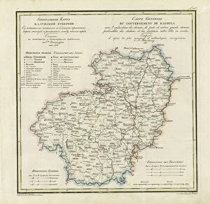
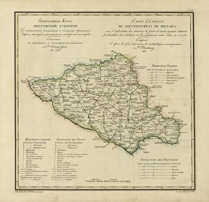
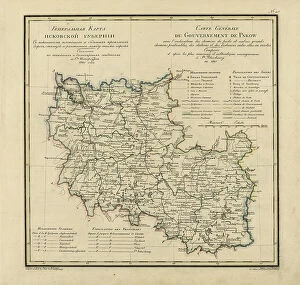
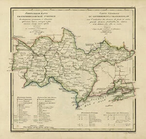
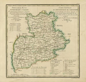
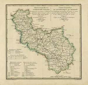
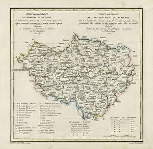
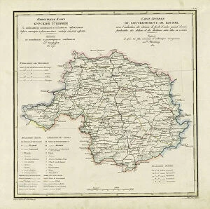
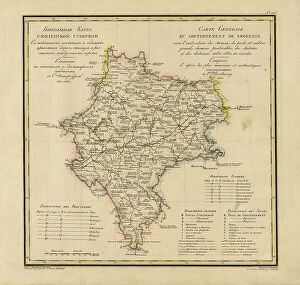
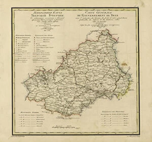
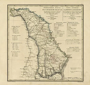
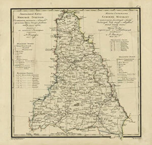
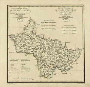
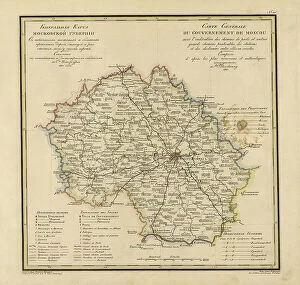
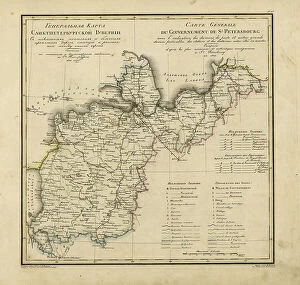
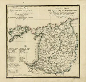
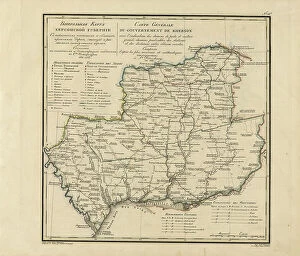
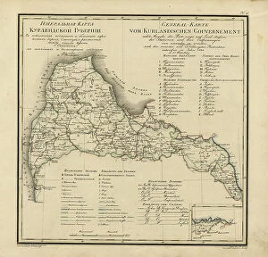
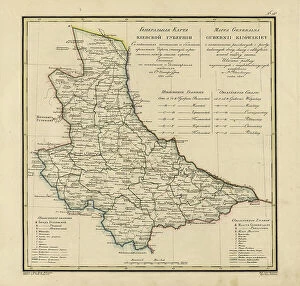
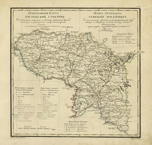
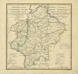
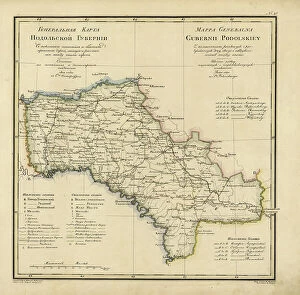
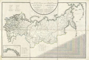
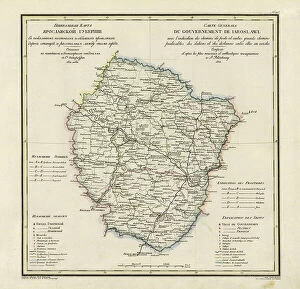
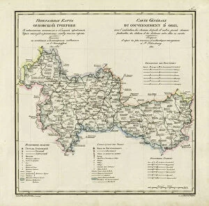
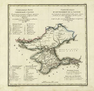
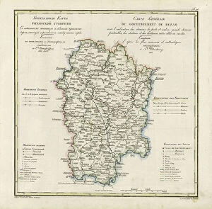
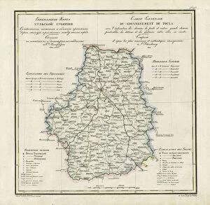
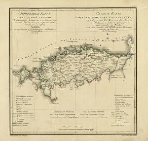
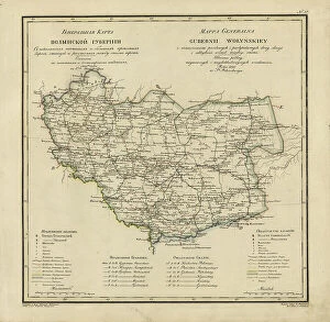
Vasilii Petrovich Piadyshev: The Unheralded Cartographer of Imperial Russia (1820-1822) Amidst the grandeur and expansion of the Russian Empire in the early 19th century, a quiet cartographic revolution was taking place. Vasilii Petrovich Piadyshev, an unsung hero of Russian cartography, produced a series of meticulously detailed maps that charted the postal and major roads, stations, and distances across various provinces of the empire. From the General Map of Kaluga Province in 1822, to those of Poltava, Pskov, Ekaterinoslav, Chernigov, Kharkiv, Vladimir, Kursk, Moscow, Tver, Novgorod, and even Bessarabia in 1821, Piadyshev's work was instrumental in improving communication and transportation within the vast Russian territories. Collaborating with skilled engravers like Faleleef, Iwanoff, and Ieremin, Piadyshev's maps were not only accurate but also visually appealing, making them invaluable resources for travelers, military strategists, and government officials. Piadyshev's maps served as a testament to the Russian Empire's growing influence and reach, and his contributions to cartography paved the way for future advancements in the field. Though his name may not be as well-known as those of other historical figures of the time, Vasilii Petrovich Piadyshev's impact on the Russian Empire's infrastructure and exploration cannot be overstated.