
Wheatley Road Collection
Wheatley Road: A Journey Through Diverse Landscapes Located in various parts of the United Kingdom, Wheatley Road stretches across different regions


For sale as Licensed Images
Choose your image, Select your licence and Download the media
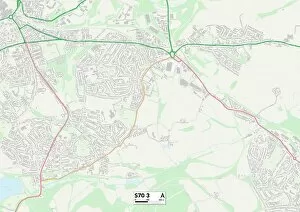
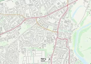
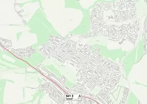
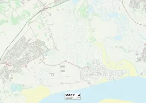
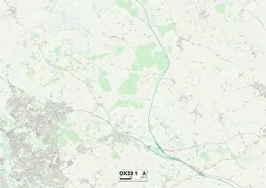
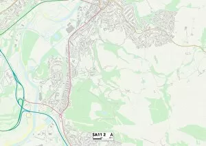
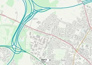
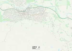
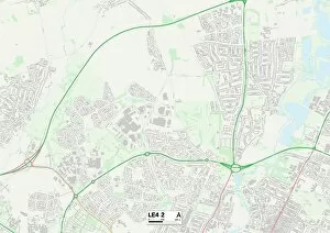
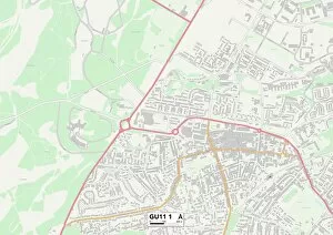
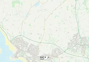
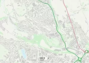
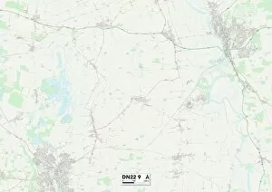
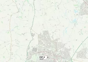
Wheatley Road: A Journey Through Diverse Landscapes Located in various parts of the United Kingdom, Wheatley Road stretches across different regions, offering a glimpse into the diverse landscapes and communities it connects. From Barnsley's S70 3 Map to Doncaster's S64 5 Map, this road weaves through South Yorkshire, showcasing its industrial heritage and picturesque countryside. Continuing southwards, Wheatley Road takes us to Hounslow's TW7 6 Map in London. Here, amidst the bustling cityscape, one can find a vibrant mix of cultures and an array of shops and restaurants that reflect the area's rich diversity. Heading northwards from Hounslow lies Stockton-on-Tees' TS19 8 Map. This town is known for its charming riverside setting and historic landmarks like Preston Park Museum. As Wheatley Road winds through Stockton-on-Tees, visitors can enjoy scenic views along with a taste of local history. Further eastward lies Rotherham's S61 3 Map—a town steeped in industrial heritage. Once at the heart of steel production in England, Rotherham now offers a blend of historical sites such as Wentworth Woodhouse alongside modern amenities. As we journey on Wheatley Road towards Thurrock's SS17 9 Map in Essex County, we encounter an entirely different landscape—the Thames Estuary region. With its marshes and nature reserves providing habitats for various wildlife species, Thurrock offers tranquility amid urban surroundings. Leaving behind Thurrock’s natural beauty brings us to South Oxfordshire—first OX44 9 Map then OX33 1 Map—where rolling hills meet quaint villages dotted with thatched-roof cottages. The idyllic scenery invites exploration while immersing oneself in rural charm. Venturing further westward leads us to Neath Port Talbot’s SA11 2Map—a gateway to the stunning landscapes of South Wales.