Home > Europe > France > Canton > Landes
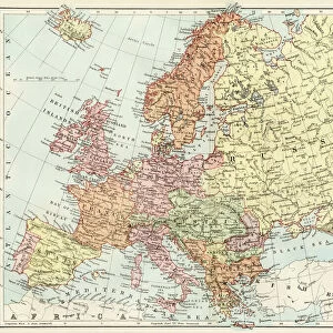
Map of the Nerchinsk Region from the Office of His Majesty, 1914. Creator: Resettlement Department of the Land Regulation and Agriculture Administration
![]()

Wall Art and Photo Gifts from Heritage Images
Map of the Nerchinsk Region from the Office of His Majesty, 1914. Creator: Resettlement Department of the Land Regulation and Agriculture Administration
Map of the Nerchinsk Region from the Office of His Majesty, 1914. From the atlas "Atlas of Asian Russia."
Heritage Images features heritage image collections
Media ID 35131355
© Heritage Art/Heritage Images
1914 Atlas Cartographic Cartography Legend Map Making Mapmaking National Library Of Russia Nerchinsk Transbaikal Territory Russia Russian Federation Meeting Of Frontiers
FEATURES IN THESE COLLECTIONS
> Europe
> France
> Canton
> Landes
> Maps and Charts
> Early Maps
> Maps and Charts
> Related Images
EDITORS COMMENTS
This print showcases the "Map of the Nerchinsk Region from the Office of His Majesty, 1914," a remarkable creation by the Resettlement Department of the Land Regulation and Agriculture Administration. Extracted from the esteemed atlas "Atlas of Asian Russia," this map transports us back to early 20th century Russia, specifically to the year 1914.
With its vibrant colors and meticulous cartographic details, this historic map offers a glimpse into an era when mapmaking was both an art form and a scientific endeavor. Created during a time when technology had not yet revolutionized geographical exploration, this masterpiece represents an invaluable resource for understanding Russia's geography at that time.
The Map of the Nerchinsk Region is not just a visual representation; it also serves as a gateway to exploring Russian history and heritage. Its presence in prestigious institutions such as Congress Library and National Library of Russia attests to its significance in preserving our collective past.
As we delve into this image, we are transported to Nerchinsk Transbaikal Territory in Eastern Siberia – an area rich with historical importance. The legend accompanying this map unravels tales of settlements, agriculture administration, land regulation, and resettlement departments that played crucial roles in shaping these lands.
Through careful examination of every contour line and symbol on this map print, one can almost hear whispers echoing through time – stories about explorers venturing into uncharted territories or settlers seeking new opportunities amidst vast landscapes.
This print is more than just ink on paper; it encapsulates centuries worth of knowledge passed down through generations. It reminds us that maps are not merely tools for navigation but windows into our shared human experience - connecting us with those who came before us while guiding future generations towards new horizons.
MADE IN THE USA
Safe Shipping with 30 Day Money Back Guarantee
FREE PERSONALISATION*
We are proud to offer a range of customisation features including Personalised Captions, Color Filters and Picture Zoom Tools
SECURE PAYMENTS
We happily accept a wide range of payment options so you can pay for the things you need in the way that is most convenient for you
* Options may vary by product and licensing agreement. Zoomed Pictures can be adjusted in the Cart.


