mail_outline sales@mediastorehouse.com
89 Items
We are proud to offer this selection in partnership with Historic England
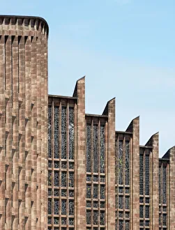
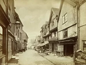
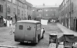
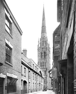
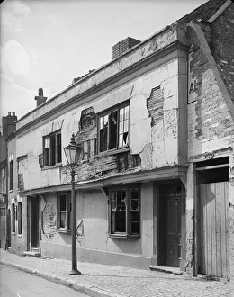
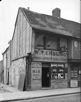
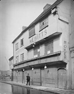
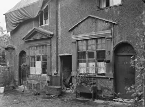
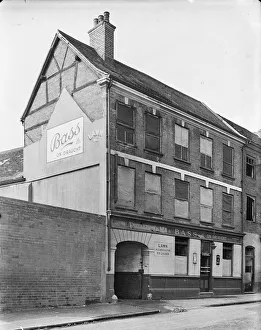
Coventry Cathedral CC47_02918Cathedral Church Of St Michael, Bailey Lane, Coventry. The shell of the old Cathedral viewed from the south east with a basement exposed beneath derelict ground at the corner of Bailey Lane
Coventry Cathedral DP164705St Michaels Cathedral, Coventry, West Midlands. Exterior, roof detail of the new Cathedral by Basil Spence from the south
Medieval Coventry OP14727Butcher Row, Coventry. Photographed circa 1880 by Francis Bedford. Furniture is displayed on the pavement in front of the premises of Palmer & Co, Brokers and Furniture Dealers
Coventry Cathedral DP164703St Michaels Cathedral, Coventry, West Midlands. Both old and new Cathedrals as seen from University Square. General view from the east
Coventry Cathedral DP082268Cathedral Church of St Michael, Priory Street, Coventry, Warwickshire. General view to show interior of nave
Spon Street DP164668Spon Street, Coventry, West Midlands. General view from the south east
Coventry Cathedral DP082327Cathedral Church of St Michael, Priory Street, Coventry, Warwickshire. Chancel and tapestry by Graham Sutherland
Godiva Clock DP164601Broadgate House, Broadgate, Coventry, West Midlands. Exterior, viewed from the north showing Lady Godiva and the Peeping Tom who appear on the hour
Hertford Square Coventry OP00980Hertford Square, Coventry, West Midlands, 1953. John M Prest (1908-'86), silver gelatin DOP (developing out paper) print. A van
Coventry Cathedral BB98_06261COVENTRY CATHEDRAL, West Midlands. A view of the Cathedral taken from Pepper Lane. The Cathedral church is named for St Michael
Coventry Cathedral EAW024986COVENTRY CATHEDRAL. The old Cathedral was destroyed by incendiary bombs on 14 November 1940, with only its spire and outer walls surviving
Broadgate Standard DP164614Broadgate Standard, Broadgate, Coventry, West Midlands. Viewed from the south east
Highfield Road, Coventry AFL03_aerofilms_654974HIGHFIELD ROAD, Coventry. Aerial view of the former home of Coventry City Football Club photographed in 1995. The Sky Blues moved to the Ricoh Arena in 2005. Aerofilms Collection (see Links)
Ricoh Arena 29210_018The Ricoh Arena, Coventry. Home of Coventry City Football Club and Wasps Rugby Club. The adjoining Exhibition Hall makes this a multi-purpose venue. Photographed in November 2014
Coventry Cathedral EAW074516Coventry Cathedral, Warwickshire. The new Cathedral begins to take shape next to the shell of the old Cathedral. Photographed in March 1959, Aerofilms Collection
Lady Godiva statue DP164602Lady Godiva statue Broadgate, Coventry, West Midlands. Viewed from the south
New Union Street DP164729New Union Street, Coventry, West Midlands. General view from the north west of shops and offices
Coventry Cathedral DP164704St Michaels Cathedral, Coventry, West Midlands. Exterior, roof detail of the new Cathedral by Basil Spence from the south
Coventry 1941 a42_00337The bomb damaged front elevation of 4 Gosford Street, Coventry. Photographed by G B Mason, 1941. Oxo poster advertisement
Coventry EAW001831Coventry. Aerial view of the ruined Cathedral Church of St Michael and the bomb damaged city centre, 12 July 1946
Coventry Sport and Leisure Centre DP219785Coventry Sport and Leisure Centre, Fairfax Street, Coventry, West Midlands. General view from north west. The elephant building
Coventry Cathedral UXC01_01_01_0007_07Ruined Cathedral Church of St Michael, Bailey Lane, Coventry, Coventry, Coventry. A view of the spire of the ruined St Michaels Cathedral Church, seen from inside the ruins
St Michael and the devil UXC01_01_01_0009_18St Michaels Cathedral, Coventry, Coventry, Coventry. Detail of the Jacob Epstein sculpture of St Michael over Lucifer holding a long spear in his right hand, arms and wings outstretched
Cow Lane Coventry, 1941 a42_00357Baker Billing and Crows Charity School, Cow Lane, Coventry. The front elevation of Baker, Billing and Crows Charity School on Cow Lane showing the entrance to Pressings Limited Cow Lane Works
New Street Coventry, 1941 a42_00327New Street, Coventry. The exterior of 30 New Street with a woman standing in the doorway of the house holding a baby and the windows boarded as a result of bomb damage
The Burges 35003_009The Burges, Coventry, West Midlands, 2021
Whittle Arch 35003_008The Whittle Arch, dedicated to Sir Frank Whittle, inventor of the turbojet engine, Coventry, Warwickshire 2021
River Sherbourne WAI01_04_180_68_16The Burges, Coventry. A view from Palmer Lane showing the River Sherbourne and the rear elevations of buildings on The Burges
County Hall Coventry, 1941 a42_00527County Hall, Cuckoo Lane, Coventry. County Hall viewed from Cuckoo Lane with the tower of Holy Trinity Church in the background. The former courthouse at County Hall opened in 1783
Fleet Street Coventry, 1941 a42_005335 - 5A Fleet Street, Coventry. The exterior of 5 and 5A Fleet Street, premises of H E Bass, Furrier and Simmons, Drapers. Evidence of damage caused by air raids can be seen to adjacent buildings
Cook Street Coventry, 1941 a42_0037611 - 12 Cook Street, Coventry. Exterior view of the front elevation of 11-12 Cook Street, showing bomb damage. Coventry City centre was devastated by air raids in 1940
Spon Street Coventry, 1941 a42_00365Spon Street, Coventry. The exterior of 54 Spon Street, premises of William Thomas Embling, off-licence
Much Park Street Coventry, 1941 a42_003628 - 10 Much Park Street, Coventry. Exterior view showing a policeman walking past the front elevation of 8-10 Much Park Street, premises of C. G. Hewitt
Greyfriars Lane Coventry, 1941 a42_0035827 - 28 Greyfriars Lane, Coventry. The front elevation of 27 and 28 Greyfriars Lane and the access to Court 6, showing evidence of bomb damage
Little Park Street Coventry, 1941 a42_00356Court 20, Little Park Street, Coventry. The exterior of numbers 5 and 6, Court 20, accessed between 92 and 93 Little Park Street, showing the roof covered by tarpaulin
Cook Street Coventry, 1941 a42_00375COOK STREET, COVENTRY. Exterior view showing bomb damaged cottages on Cook Street
Little Park Street Coventry, 1941 a42_00351Little Park Street, Coventry. The exterior of 92 Little Park Street showing bomb damage to the facade and notices relating to rationing and air raids posted to the boards covering the broken windows
Little Park Street Coventry, 1941 a42_00350Little Park Street, Coventry. The exterior of 91 Little Park Street showing bomb damage to windows and the remains of 90 Little Park Street to the right of frame
Little Park Street Coventry, 1941 a42_00349Little Park Street, Coventry. The interior of 90 Little Park Street showing bomb damage. Coventry City centre was devastated by air raids in November 1940
Little Park Street Coventry, 1941 a42_00347Little Park Street, Coventry. The exterior of 83 Little Park Street showing damage caused during air raids. Coventry City centre was devastated by air raids in November 1940
Kirby House Coventry, 1941 a42_00346Kirby House, Little Park Street, Coventry. The rear elevation of Kirby House at 16 Little Park Street showing evidence of bomb damage
Little Park Street Coventry, 1941 a42_00353Court 16, Little Park Street, Coventry. The houses of Court 16 at the east side of Little Park Street showing damage caused by air raids
Jordan Well Coventry, 1941 a42_0033920 - 21 Jordan Well, Coventry. The exterior of 20 and 21 Jordan Well, premises of L H Fearis Ltd. and Tom Pollard, showing damage to the upper storey windows
Gosford Street Coventry, 1941 a42_003386 - 7 Gosford Street, Coventry. The exterior of shop premises at 6 and 7 Gosford Street showing foodstuffs displayed outside number 7 and a tarpaulin covering damage to the roof of number 6
Gosford Street Coventry, 1941 a42_00335Gosford Street, Coventry. The bomb damaged premises of H Godfrey, Tailor and Outfitter, at 112 Gosford Street showing a man sweeping the pavement at the front of the shop
Mermaid Inn, 1941 a42_00333Mermaid Inn, Gosford Street, Coventry. The premises of Eavess at 110 Gosford Street, adjacent to the Mermaid Inn showing bomb damage
Mermaid Inn, 1941 a42_00332Mermaid Inn, Gosford Street, Coventry. The Mermaid Inn at 109 Gosford Street. The windows of the public house are boarded, probably as a result of bomb damage
Kirby House Coventry, 1941 a42_00343Kirby House, Little Park Street, Coventry. The front elevation of Kirby House at 16 Little Park Street showing evidence of windows broken during air raids
Choose your image, Select your licence and Download the media
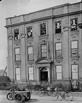