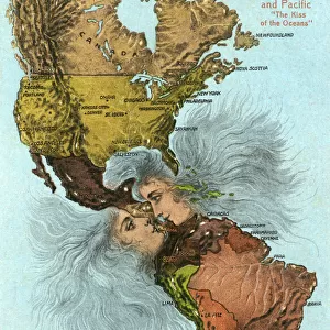
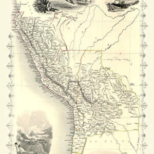
Home > South America > Bolivia > Maps
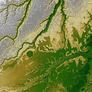
Mouth of the river Santa Cruz, map

![]()
Wall Art and Photo Gifts from Mary Evans Picture Library
Mouth of the river Santa Cruz, map
Map (p.338 - 339), from Charles Darwins Narrative of the voyages of HM Ships Adventure and Beagle part 2, 1839
Mary Evans Picture Library makes available wonderful images created for people to enjoy over the centuries
Media ID 8583669
© Mary Evans Picture Library 2015 - https://copyrighthub.org/s0/hub1/creation/maryevans/MaryEvansPictureID/10716446
Beagle Black And White Bolivia Canary Islands Charles Darwin Darwin200 Fitzroy Geographical Geography Hms Beagle Mouth Santa Cruz Tenerife Voyage Robert Fitzroy
FEATURES IN THESE COLLECTIONS
> Historic
> Famous inventors and scientists
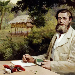
> Charles Darwin
> Maps and Charts
> Early Maps
> South America
> Bolivia
> Maps
EDITORS COMMENTS
This black and white map print depicts the Mouth of the River Santa Cruz, as illustrated in Charles Darwin's Narrative of the Voyages of HM Ships Adventure and Beagle, Part 2, published in 1839. The map, located on pages 338-339, offers a geographical and historical snapshot of the region during the Victorian era. Darwin's five-year voyage aboard HMS Beagle, which took place between 1831 and 1836, was a pivotal moment in the development of his scientific theories. During this time, he visited various parts of South America, including the area surrounding the Santa Cruz River in what is now Bolivia. The map provides a detailed view of the river's mouth and the surrounding geography, with annotations indicating key locations such as the Canary Islands, Tenerife, and the position of HMS Beagle during Darwin's visit. The map was produced under the supervision of Captain Robert FitzRoy, who commanded the HMS Beagle during Darwin's voyage. The map's historical significance lies in its role as a visual record of Darwin's expedition and the scientific discoveries made during that time. It serves as a testament to the exploratory spirit of the 19th century and the importance of geographical knowledge in advancing scientific understanding. This print makes for an excellent addition to any collection focused on Victorian-era exploration, geography, or the works of Charles Darwin. Its intricate details and historical significance make it a fascinating conversation starter and a beautiful piece of decor for any home or office.
MADE IN THE USA
Safe Shipping with 30 Day Money Back Guarantee
FREE PERSONALISATION*
We are proud to offer a range of customisation features including Personalised Captions, Color Filters and Picture Zoom Tools
SECURE PAYMENTS
We happily accept a wide range of payment options so you can pay for the things you need in the way that is most convenient for you
* Options may vary by product and licensing agreement. Zoomed Pictures can be adjusted in the Cart.