Metal Print > North America > United States of America > Massachusetts > Worcester
Metal Print : MA Worcester Princeton Vector Road Map


![]()
Metal Prints from Fine Art Storehouse
MA Worcester Princeton Vector Road Map
MA Worcester Princeton Vector Road Map. All source data is in the public domain. U.S. Census Bureau Census Tiger. Used Layers: areawater, linearwater, roads, rails, cousub, pointlm, uac10
Unleash your creativity and transform your space into a visual masterpiece!
Frank Ramspott
Media ID 20691739
© Frank Ramspott, all rights reserved
Brooks City Map Computer Graphic County Digital Composite District Geographical Border Massachusetts Road Map Text Vector Worcester Digitally Generated Image Pine Hill Princeton
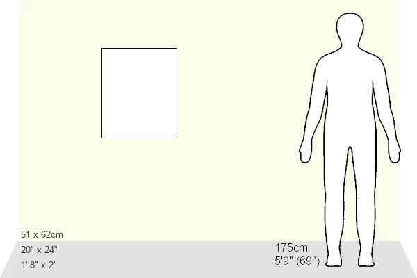
20"x24" (61x51cm) Metal Print
Discover the unique blend of art and functionality with our MA Worcester Princeton Vector Road Map Metal Print from Media Storehouse. This stunning piece, created by Frank Ramspott from Fine Art Storehouse, showcases an intricately detailed vector representation of the Princeton area of Worcester, Massachusetts. With all source data in the public domain from the U.S. Census Bureau Census Tiger, this map is not only visually captivating but also a testament to the power of data visualization. The high-quality Metal Print adds a modern and sleek touch to any space, making it an excellent addition to your home or office decor. Experience the beauty and utility of this unique map design.
Made with durable metal and luxurious printing techniques, our metal photo prints go beyond traditional canvases, adding a cool, modern touch to your space. Wall mount on back. Eco-friendly 100% post-consumer recycled ChromaLuxe aluminum surface. The thickness of the print is 0.045". Featuring a Scratch-resistant surface and Rounded corners. Backing hangers are attached to the back of the print and float the print 1/2-inch off the wall when hung, the choice of hanger may vary depending on size and International orders will come with Float Mount hangers only. Finished with a brilliant white high gloss surface for unsurpassed detail and vibrance. Printed using Dye-Sublimation and for best care we recommend a non-ammonia glass cleaner, water, or isopropyl (rubbing) alcohol to prevent harming the print surface. We recommend using a clean, lint-free cloth to wipe off the print. The ultra-hard surface is scratch-resistant, waterproof and weatherproof. Avoid direct sunlight exposure.
Made with durable metal and luxurious printing techniques, metal prints bring images to life and add a modern touch to any space
Estimated Image Size (if not cropped) is 50.8cm x 60.9cm (20" x 24")
Estimated Product Size is 51.4cm x 61.5cm (20.2" x 24.2")
These are individually made so all sizes are approximate
Artwork printed orientated as per the preview above, with portrait (vertical) orientation to match the source image.
FEATURES IN THESE COLLECTIONS
> Fine Art Storehouse
> Map
> Reference Maps
> Animals
> Mammals
> Cats (Wild)
> Tiger
> Arts
> Contemporary art
> Digital artwork
> Street art
> Arts
> Street art graffiti
> Digital art
> Digital paintings
> Maps and Charts
> Related Images
> North America
> United States of America
> Massachusetts
> Worcester
> Popular Themes
> Lake District
EDITORS COMMENTS
This print titled "MA Worcester Princeton Vector Road Map" showcases the intricate details of a digitally generated image. Designed by Frank Ramspott, this visually stunning map captures the essence of Massachusetts' Worcester and Princeton regions. The artist skillfully combines various layers such as areawater, linearwater, roads, rails, cousub, pointlm, and uac10 to create a comprehensive representation. The use of vibrant colors brings life to this computer graphic masterpiece while highlighting the physical geography of the area. Every geographical border is meticulously depicted with precision and accuracy. From bustling cities to serene lakes and rivers like Flagg Hill or Muschopauge, every element is thoughtfully included in this composition. With no people present in the image, viewers can fully immerse themselves in exploring each street and city within this road map. The attention to detail is evident as even smaller locations like West Sterling or Pine Hill are not overlooked. It's important to note that all source data used for creating this artwork is from public domain sources such as U. S Census Bureau Census Tiger. This ensures authenticity and reliability throughout the design process. Overall, Frank Ramspott's MA Worcester Princeton Vector Road Map offers a fascinating glimpse into these Massachusetts regions through its expert cartography skills and digital composite techniques.
MADE IN THE USA
Safe Shipping with 30 Day Money Back Guarantee
FREE PERSONALISATION*
We are proud to offer a range of customisation features including Personalised Captions, Color Filters and Picture Zoom Tools
SECURE PAYMENTS
We happily accept a wide range of payment options so you can pay for the things you need in the way that is most convenient for you
* Options may vary by product and licensing agreement. Zoomed Pictures can be adjusted in the Cart.