Mouse Mat > Arts > Artists > O > Oceanic Oceanic
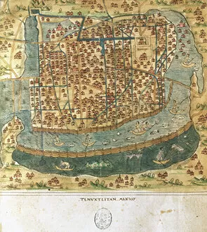
Mouse Mat : Map of Mexico, c.1900 (engraving)
![]()

Home Decor from Fine Art Finder
Map of Mexico, c.1900 (engraving)
533250 Map of Mexico, c.1900 (engraving); (add.info.: Map of Mexico, circa 1902, from the 10th edition of Encyclopaedia Britannica.); Encyclopaedia Britannica/UIG
Media ID 38453916
© Encyclopaedia Britannica/UIG / Bridgeman Images
1902 19th Century Style Guidance Gulf Of Mexico Illustration Technique Meridian Navigational Equipment Old Fashioned Pacific Ocean Physical Geography The Past Western Script
Mouse Pad
Standard Size Mouse Pad 7.75" x 9..25". High density Neoprene w linen surface. Easy to clean, stain resistant finish. Rounded corners.
Archive quality photographic print in a durable wipe clean mouse mat with non slip backing. Works with all computer mice
Estimated Image Size (if not cropped) is 23.7cm x 17.7cm (9.3" x 7")
Estimated Product Size is 23.7cm x 20.2cm (9.3" x 8")
These are individually made so all sizes are approximate
Artwork printed orientated as per the preview above, with landscape (horizontal) orientation to match the source image.
FEATURES IN THESE COLLECTIONS
> Fine Art Finder
> Temp Classification
> Arts
> Artists
> O
> Oceanic Oceanic
> Maps and Charts
> Related Images
> North America
> Mexico
> Maps
> North America
> Mexico
> Related Images
EDITORS COMMENTS
This stunning engraving of a Map of Mexico from around the year 1900 is a true testament to the artistry and precision of cartography in the late 19th century. The intricate details, including the coastline, meridians, and navigational equipment, showcase the dedication and skill required to create such a comprehensive map.
As we gaze upon this historical piece, we are transported back in time to an era of exploration and discovery. The old-fashioned style and Western script used on this map evoke a sense of nostalgia for a bygone age when maps were not just tools for navigation but works of art in their own right.
The vast Pacific Ocean and Gulf of Mexico are prominently featured on this map, reminding us of Mexico's unique geographical position between two major bodies of water. The absence of people in the image allows us to focus solely on the land itself, appreciating its natural beauty and complexity.
Whether you are a history buff, geography enthusiast, or simply appreciate fine illustration techniques, this print is sure to captivate your imagination. Let it serve as a reminder that even in our modern world filled with GPS technology and digital mapping systems, there is still something special about holding a physical map in your hands and tracing the paths taken by explorers long ago.
MADE IN THE USA
Safe Shipping with 30 Day Money Back Guarantee
FREE PERSONALISATION*
We are proud to offer a range of customisation features including Personalised Captions, Color Filters and Picture Zoom Tools
SECURE PAYMENTS
We happily accept a wide range of payment options so you can pay for the things you need in the way that is most convenient for you
* Options may vary by product and licensing agreement. Zoomed Pictures can be adjusted in the Cart.


