Home > Abstract Art > Painting > Related Images
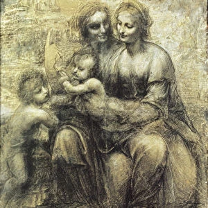
Island of Minorca and the plan of the port and the city of Mahon and its Forts, engraving by G. Zuliani taken from Tome I of the "Newest Atlas" published in Venice in 1778 by Antonio Zatta, Private Collection

![]()
Wall Art and Photo Gifts from Fondazione Alinari per la Fotografia
Island of Minorca and the plan of the port and the city of Mahon and its Forts, engraving by G. Zuliani taken from Tome I of the "Newest Atlas" published in Venice in 1778 by Antonio Zatta, Private Collection
Island of Minorca and the plan of the port and the city of Mahon and its Forts, engraving by G. Zuliani taken from Tome I of the "Newest Atlas" published in Venice in 1778 by Antonio Zatta, Private Collection Florence Engraving Eighteenth Century, Renaissance-Baroque styles and periods, Europe, First and Second Millennium A.D.. Date of Photograph:2009. Date of Artwork:1778. Artist:Zuliani G
Alinari
PDP-A-ZATTA1-0047
Media ID 33185819
© Alinari Archives, Florence
Cartography Drawing And Graphics Geographical Or Topographical Map Geography Graphics Instrument And Document Islandeighteenth Century Port Scene Means Of Communication Territory Abstract Concept And Symbol Concept Or Subject Expressed For Transportation Naval And River
FEATURES IN THESE COLLECTIONS
> Abstract Art
> Painting
> Related Images
> Abstract Art
> Water
> Architecture
> Drawings
> Architecture
> Styles
> Baroque Architecture
> Arts
> Abstract art
> Arts
> Art Movements
> Baroque
> Arts
> Art Movements
> Renaissance Art
> Arts
> Still life artwork
> Abstract art
> Fine art
> Arts
> Minimalist artwork
> Abstract art
> Fine art
> Arts
> Modern art pieces
> Abstract art
> Fine art
EDITORS COMMENTS
This print showcases the exquisite engraving of the "Island of Minorca and the plan of the port and the city of Mahon and its Forts". Created by G. Zuliani in 1778, this artwork is a remarkable representation of cartography during the Renaissance-Baroque period. The intricate details captured in this engraving transport us back to 18th-century Europe, where maps were not just tools for navigation but also works of art. The artist's skillful hand brings forth an allegory that symbolizes both territory and abstract concepts. The focal point of this piece is undoubtedly the port and city of Mahon, beautifully depicted with meticulous precision. The architectural structures within are showcased flawlessly, highlighting their significance as vital centers for transportation and trade during that era. As we explore further into this artwork, our eyes are drawn to the geographical or topographical map surrounding Mahon. It serves as an essential instrument and document for understanding the island's layout, emphasizing its connection to sea routes and neighboring lands. Through this engraving, Zuliani captures not only physical features but also communicates a sense of scene - one can almost imagine bustling ships navigating these waters while merchants exchange goods on land. This print from Antonio Zatta's "Newest Atlas" published in Venice in 1778, offers a glimpse into history when communication relied heavily on visual aids like maps. Its presence in a private collection reflects its enduring value as a testament to human curiosity about our world's geography throughout different periods. In conclusion, Alinari has expertly photographed this extraordinary artwork from Florence Engraving Eighteenth Century collection. By preserving it digitally, they allow us to appreciate Zuliani's artistic prowess while providing insight into how cartography shaped our understanding of territories long ago.
MADE IN THE USA
Safe Shipping with 30 Day Money Back Guarantee
FREE PERSONALISATION*
We are proud to offer a range of customisation features including Personalised Captions, Color Filters and Picture Zoom Tools
SECURE PAYMENTS
We happily accept a wide range of payment options so you can pay for the things you need in the way that is most convenient for you
* Options may vary by product and licensing agreement. Zoomed Pictures can be adjusted in the Cart.