
Islandeighteenth Century Collection
"Exploring the Island Paradises of the Eighteenth Century" Step back in time and embark on a journey to the enchanting islands of the eighteenth century


For sale as Licensed Images
Choose your image, Select your licence and Download the media
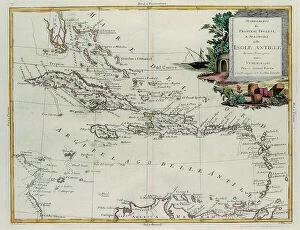
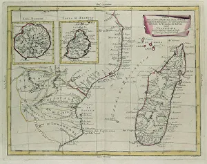
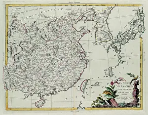
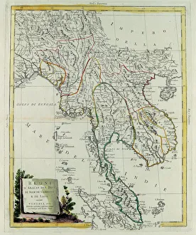
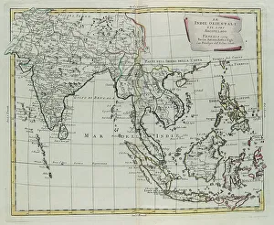
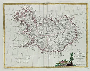
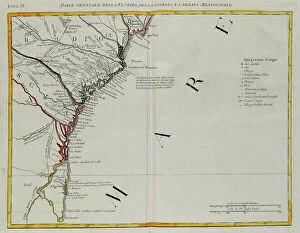
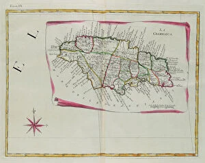
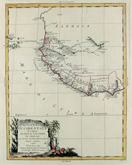
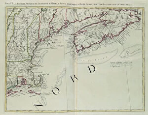
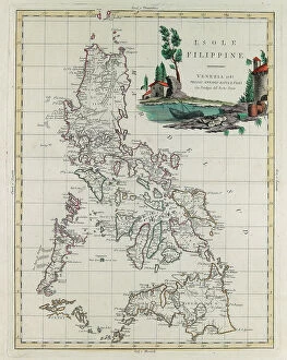
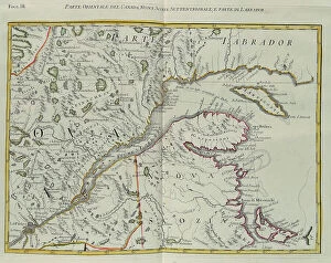
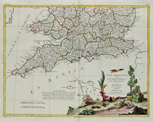
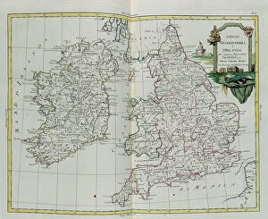
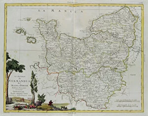
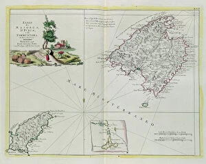
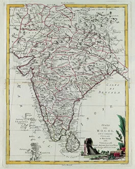
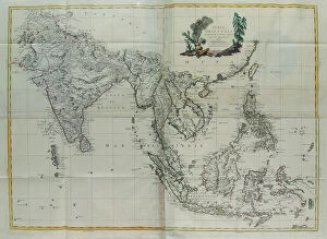
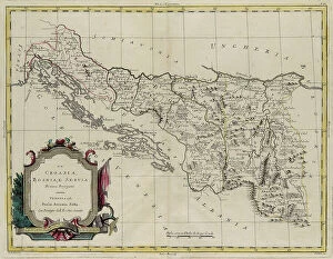
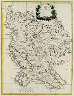
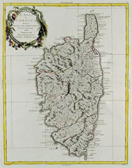
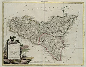
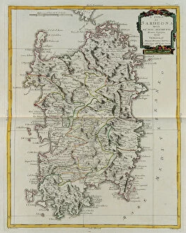
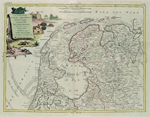
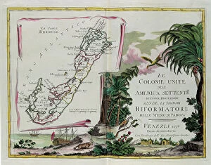
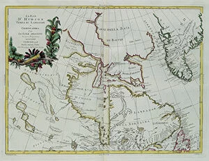
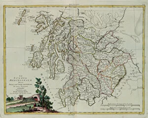
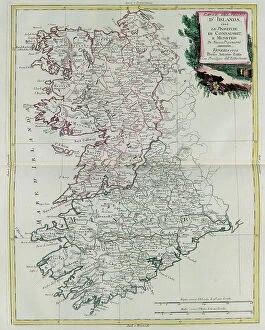
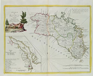
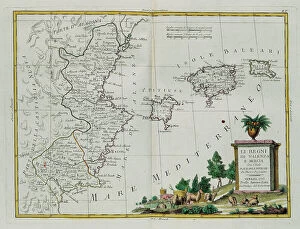
"Exploring the Island Paradises of the Eighteenth Century" Step back in time and embark on a journey to the enchanting islands of the eighteenth century. This captivating engraving collection by G. Zuliani, taken from Antonio Zatta's "Newest Atlas, " offers a glimpse into the diverse landscapes and rich history of these far-flung destinations. From the Antilles Islands, we witness the establishment of French, English, and Spanish colonies. The intricate details bring to life bustling ports and vibrant cultures that once thrived in this Caribbean paradise. Venturing further east, we discover Madagascar with its mysterious allure. The detailed maps reveal not only France's territories but also Bourbon Island's hidden treasures waiting to be explored. Traveling across continents, we find ourselves immersed in ancient Asian civilizations. The Chinese Empire unfolds before our eyes alongside Japan's mesmerizing archipelago. These intricately crafted engravings transport us to a time when empires flourished amidst breathtaking natural beauty. Continuing our exploration through Southeast Asia, kingdoms such as Arakan, Pegu, Siam, Cambodia, and Laos come alive on paper. Each region tells tales of dynasties past and showcases their unique cultural heritage. The East Indies beckon with their exotic charm—a vast archipelago teeming with trade routes and untold stories waiting to be unraveled. Through Zuliani's artistry, we can almost feel the warm breeze caressing our skin as we navigate this maritime wonderland. Iceland reveals itself divided into districts—an island shrouded in mystery where nature reigns supreme. Its rugged landscapes captivate our imagination as we envision Viking sagas unfolding against this dramatic backdrop. Turning towards North America brings us face-to-face with Florida’s eastern shores along with Georgia and South Carolina—lands brimming with potential for colonization during this era of discovery. Jamaica emerges from these pages as a tropical haven adorned with lush vegetation and pristine beaches.