
Maps Collection
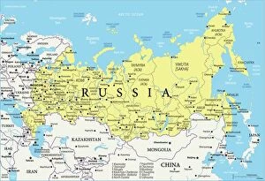
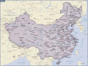
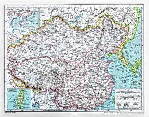
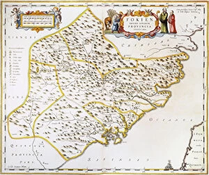
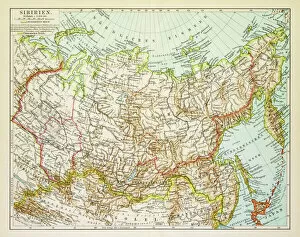
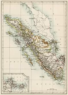
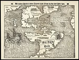
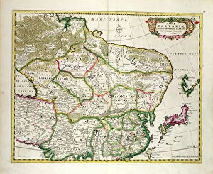
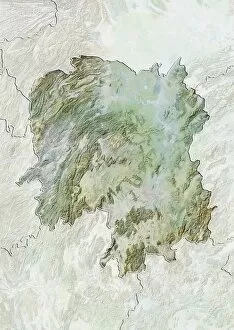
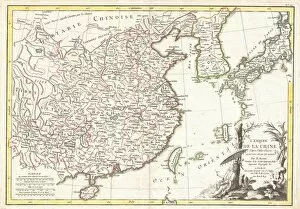
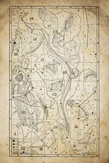
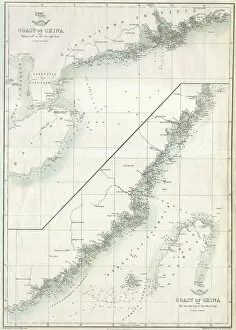
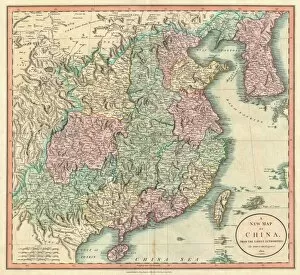
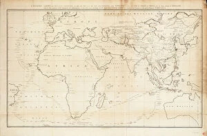
Maps of China Asia are maps that show the physical and political features of the region
Choose a picture from our Maps Collection for your Wall Art and Photo Gifts
474 items
All Professionally Made to Order for Quick Shipping
-
Maps Collection
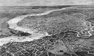
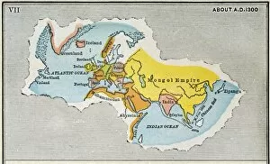
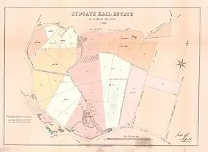
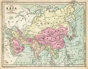
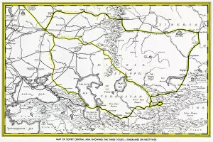
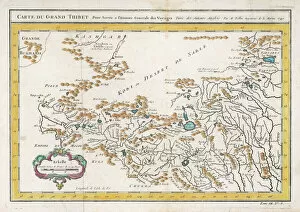
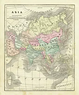
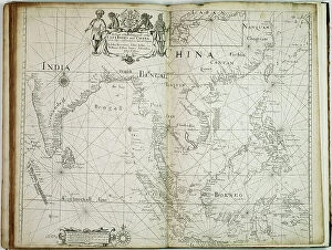
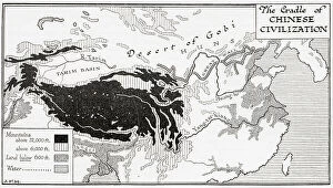
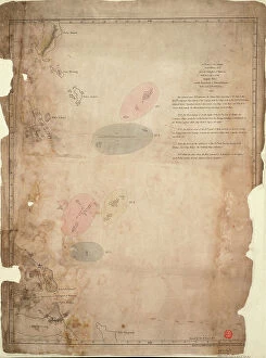
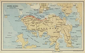
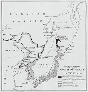
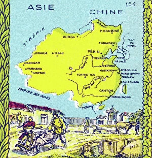
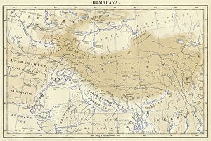
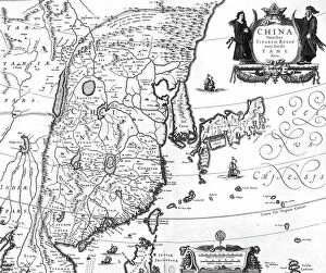
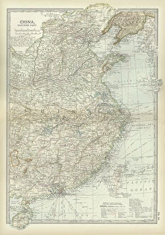
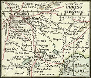
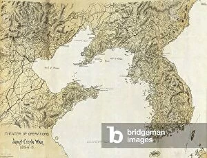
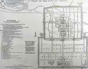
Maps of China Asia are maps that show the physical and political features of the region. They include rivers, mountains, cities, provinces, and other geographical features. They also show major roads and railways as well as national boundaries. Maps of China Asia can be used to plan trips or research a particular area in more detail and are useful for understanding the size and scale of the region as well as its relative location to other countries in Asia. Maps of China Asia can be found online or in print form at bookstores or libraries.
+
Our beautiful pictures are available as Framed Prints, Photos, Wall Art and Photo Gifts
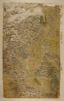
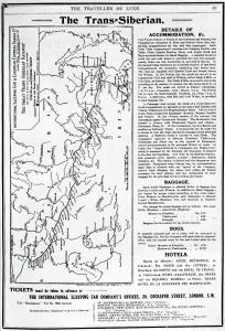
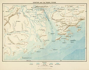
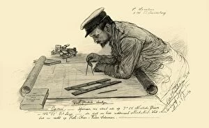
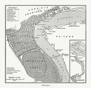
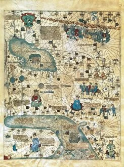
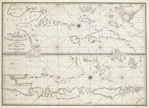
The Maps of China Asia collection from Media Storehouse is a stunning compilation of vintage and contemporary maps that showcase the diverse geography, history, and culture of China and its neighboring countries in Asia. Our collection features over 1,000 high-quality prints that are available as wall art or framed prints. Each map is carefully selected for its accuracy, detail, and aesthetic appeal. The Maps of China Asia collection includes antique maps dating back to the 16th century as well as modern topographical maps that highlight the natural landscapes and urban areas of this vast region. Some notable pieces include detailed city plans of Beijing and Shanghai from the early 20th century, colorful illustrations depicting traditional Chinese customs and landmarks, and satellite images showing the dramatic changes in land use over time. Whether you're a history buff, an avid traveler or simply appreciate beautiful artwork with cultural significance - there's something for everyone in this impressive collection.
+
What are Maps of China Asia art prints?
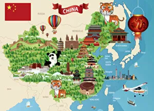
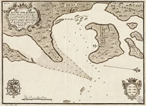
Maps of China Asia art prints are beautiful and intricate depictions of the geography, culture, and history of China and its surrounding regions. These prints showcase a variety of styles, from antique maps that highlight the trade routes and political boundaries of ancient empires to modern interpretations that incorporate vibrant colors and artistic flourishes. These art prints are perfect for anyone who loves Chinese culture or wants to add an exotic touch to their home decor. They can be used as wall art in living rooms, bedrooms, or offices, or as educational tools in classrooms or libraries. Whether you're interested in exploring the Silk Road, learning about traditional Chinese medicine, or simply admiring the stunning landscapes of this vast region, Maps of China Asia art prints offer something for everyone. With so many different styles and sizes available at Media Storehouse , it's easy to find the perfect print for your needs.
+
What Maps of China Asia art prints can I buy from Media Storehouse?
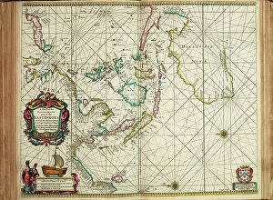
We offer a wide range of Maps of China Asia art prints that are perfect for those who love geography, history or simply want to decorate their homes with beautiful and unique artwork. These maps showcase the different regions and cities in China, as well as other countries in Asia such as Japan, Korea and India. Some of the popular Maps of China Asia art prints available at Media Storehouse include antique maps from the 18th century, vintage travel posters from the early 20th century, modern satellite images and artistic interpretations by contemporary artists. These prints come in various sizes and formats including canvas prints, framed prints or unframed posters. Whether you're looking for a map to hang on your living room wall or a gift for someone who loves Asian culture, we have something for everyone. With its extensive collection of Maps of China Asia art prints, you'll surely find one that suits your taste and style.
+
How do I buy Maps of China Asia art prints?
To buy Maps of China Asia art prints from Media Storehouse, you can browse our extensive collection online. Simply search for the specific map or artwork that you are interested in and add it to your cart. You can also refine your search by selecting different categories such as color, orientation, and style. Once you have added all the items you want to purchase to your cart, proceed to checkout where you will be prompted to enter your shipping information and payment details. We accept a variety of payment methods including credit cards and PayPal. After completing your order, Media Storehouse will process it promptly and ship it out to you. We offer worldwide shipping so no matter where you are located, they can deliver straight to your doorstep. Buying Maps of China Asia art prints from Media Storehouse is a simple process that allows anyone with an interest in these beautiful pieces of art access them easily.
+
How much do Maps of China Asia art prints cost?
We offer a wide range of Maps of China Asia art prints that vary in price depending on the size and type of print. Our collection includes both vintage and modern maps, as well as artistic interpretations of the region. The prices for our Maps of China Asia art prints are competitive and affordable, making it easy for anyone to add a touch of culture to their home or office decor. We take pride in offering high-quality prints that are produced using state-of-the-art printing technology to ensure vibrant colors and sharp details. Whether you're looking for a small print to hang on your wall or a large canvas to make a statement piece, we have something for everyone at Media Storehouse. Explore our collection today and find the perfect map print to suit your style.
+
How will my Maps of China Asia art prints be delivered to me?
We take great care in ensuring that your Maps of China Asia art prints are delivered to you in the best possible condition. We use high-quality packaging materials and reliable shipping methods to ensure that your order arrives safely at your doorstep. Your Maps of China Asia art prints will be carefully rolled and packaged in a sturdy tube to prevent any damage during transit. The package will also include instructions on how to unroll and flatten the print without causing any creases or wrinkles. We work with trusted courier partners who provide tracking information for all orders, so you can easily monitor the progress of your delivery. Once your order has been dispatched, you will receive an email notification with a tracking number and estimated delivery date. Westrive to provide our customers with a seamless shopping experience from start to finish. If you have any questions or concerns about your order, please do not hesitate to contact us for assistance.