Canvas Print > Africa > South Africa > Maps
Canvas Print : French map of the Transvaal at the outbreak of the Boer War in South Africa, 1899


![]()
Canvas Prints from Fine Art Finder
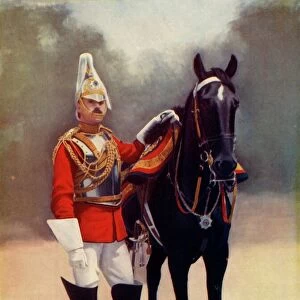
French map of the Transvaal at the outbreak of the Boer War in South Africa, 1899
3479681 French map of the Transvaal at the outbreak of the Boer War in South Africa, 1899; Universal History Archive/UIG
Media ID 38473394
© Universal History Archive/UIG / Bridgeman Images
Boer War Contagion Disease Epidemic Illness Outbreak Pandemic Second Boer War Sick Sickness South African Wars Transvaal
20"x16" (51x41cm) Canvas Print
Travel back in time with this captivating canvas print of a French map depicting the Transvaal at the start of the Boer War in South Africa. A historical piece that will add character to any space.
Delivered stretched and ready to hang our premium quality canvas prints are made from a polyester/cotton blend canvas and stretched over a 1.25" (32mm) kiln dried knot free wood stretcher bar. Packaged in a plastic bag and secured to a cardboard insert for safe transit.
Canvas Prints add colour, depth and texture to any space. Professionally Stretched Canvas over a hidden Wooden Box Frame and Ready to Hang
Estimated Product Size is 40.6cm x 50.8cm (16" x 20")
These are individually made so all sizes are approximate
Artwork printed orientated as per the preview above, with portrait (vertical) orientation to match the source image.
FEATURES IN THESE COLLECTIONS
> Africa
> South Africa
> Maps
> Africa
> South Africa
> Related Images
> Maps and Charts
> Early Maps
> Maps and Charts
> Related Images
> Fine Art Finder
> Artists
> Unknown photographer
EDITORS COMMENTS
This French map of the Transvaal at the outbreak of the Boer War in South Africa, 1899, offers a glimpse into a tumultuous period in history. The intricate details and historical significance captured in this print transport us back to a time of conflict and upheaval.
As we study the map closely, we can imagine the strategic maneuvers and battles that took place during the Boer War. The lines and markings on the map tell a story of power struggles, territorial disputes, and political tensions that defined this era.
The outbreak of war is symbolized by the bold lines and shaded areas on the map, highlighting key locations where significant events unfolded. It serves as a reminder of the human cost of conflict and war, as well as the complex geopolitical dynamics at play during this time.
Through this visual representation, we are reminded of how maps not only serve as navigational tools but also as historical artifacts that document important moments in time. This French map is not just a piece of paper; it is a window into an era marked by turmoil and change.
MADE IN THE USA
Safe Shipping with 30 Day Money Back Guarantee
FREE PERSONALISATION*
We are proud to offer a range of customisation features including Personalised Captions, Color Filters and Picture Zoom Tools
SECURE PAYMENTS
We happily accept a wide range of payment options so you can pay for the things you need in the way that is most convenient for you
* Options may vary by product and licensing agreement. Zoomed Pictures can be adjusted in the Cart.