Fine Art Print : Map of the Belgian frontier with forts, World War One


![]()
Fine Art Prints from Mary Evans Picture Library
Map of the Belgian frontier with forts, World War One
Map of the Belgian frontier with forts at the beginning of World War One. Date: 1914
Mary Evans Picture Library makes available wonderful images created for people to enjoy over the centuries
Media ID 14125874
© Mary Evans Picture Library/PHILIP TALMAGE
Belgian Countries Forts Frontier Holland Maps
21"x14" (+3" Border) Fine Art Print
Step back in time with our exquisite Fine Art Print from Media Storehouse, featuring a captivating Map of the Belgian Frontier from the onset of World War One. This intricately detailed map, sourced from Mary Evans Prints Online, showcases the strategic fortifications along the Belgian border in 1914. Perfect for history enthusiasts, educators, or those seeking to adorn their walls with a piece of historical significance, this Rights Managed print adds an authentic touch to any room. Transport yourself to a bygone era with this stunning piece of historical cartography.
21x14 image printed on 27x20 Fine Art Rag Paper with 3" (76mm) white border. Our Fine Art Prints are printed on 300gsm 100% acid free, PH neutral paper with archival properties. This printing method is used by museums and art collections to exhibit photographs and art reproductions.
Our fine art prints are high-quality prints made using a paper called Photo Rag. This 100% cotton rag fibre paper is known for its exceptional image sharpness, rich colors, and high level of detail, making it a popular choice for professional photographers and artists. Photo rag paper is our clear recommendation for a fine art paper print. If you can afford to spend more on a higher quality paper, then Photo Rag is our clear recommendation for a fine art paper print.
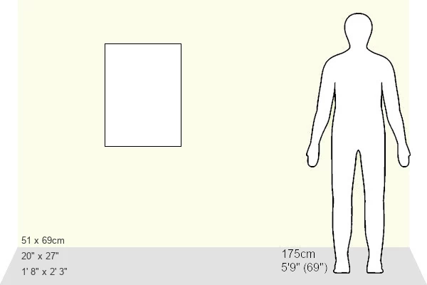
Estimated Image Size (if not cropped) is 32.8cm x 53.3cm (12.9" x 21")
Estimated Product Size is 50.8cm x 68.6cm (20" x 27")
These are individually made so all sizes are approximate
Artwork printed orientated as per the preview above, with portrait (vertical) orientation to match the source image.
EDITORS COMMENTS
This historic map print depicts the Belgian frontier at the onset of World War One in 1914. The intricate detailing highlights the strategic fortifications along the border, which played a pivotal role in the early stages of the war. The map illustrates the complex web of alliances and territories in Europe during this tumultuous period. At the center of the map, the Belgian fortifications, including the strongholds of Liege, Namur, and Antwerp, are clearly marked. These fortifications were designed to protect Belgium from external threats and were considered some of the most advanced and impregnable in Europe at the time. However, they were ultimately breached by German forces in August 1914, marking a significant turning point in the war. The map also shows the neighboring countries of France, Germany, and Holland, emphasizing the interconnectedness of Europe's political landscape. The intricate border lines and annotations provide a glimpse into the complex web of alliances and tensions that fueled the outbreak of war. This map offers a unique perspective on the geopolitical situation in Europe at the beginning of World War One, providing valuable context for understanding the events that unfolded during this pivotal period in history. The intricate detailing and historical significance make this map a fascinating addition to any collection of World War One memorabilia or European history.
MADE IN THE USA
Safe Shipping with 30 Day Money Back Guarantee
FREE PERSONALISATION*
We are proud to offer a range of customisation features including Personalised Captions, Color Filters and Picture Zoom Tools
SECURE PAYMENTS
We happily accept a wide range of payment options so you can pay for the things you need in the way that is most convenient for you
* Options may vary by product and licensing agreement. Zoomed Pictures can be adjusted in the Cart.