
Aerial Photograph Collection (#3)
"Aerial Photograph: Capturing the World from Above" From the majestic HMS King George V, a Royal Navy battleship


For sale as Licensed Images
Choose your image, Select your licence and Download the media
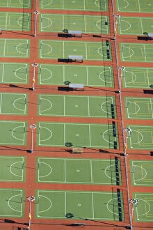
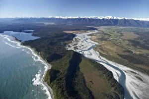
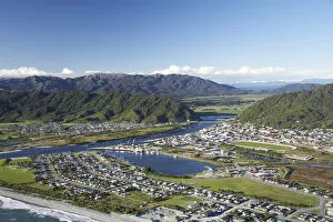
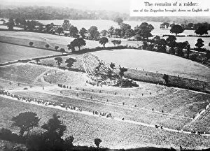
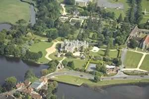
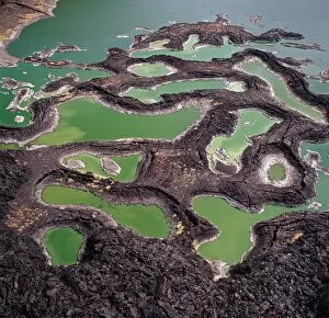
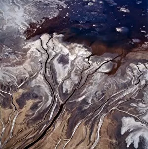
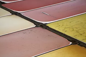
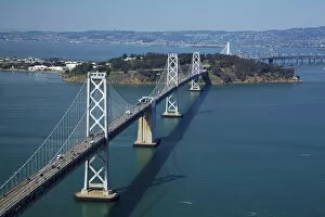
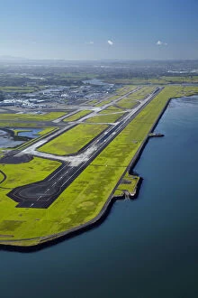
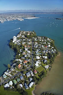
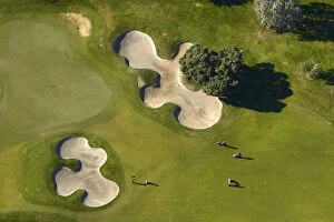
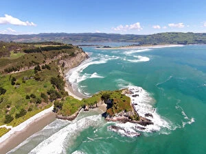
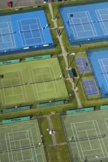
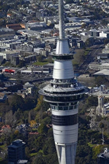
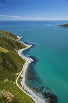
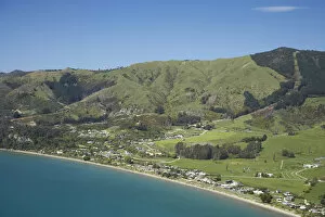
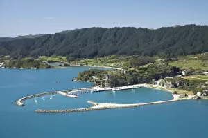
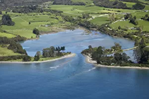
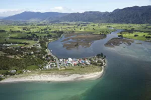
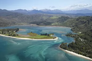
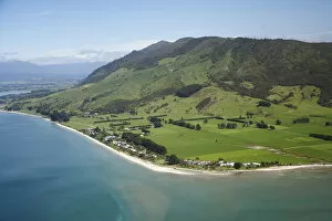
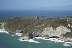
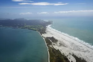
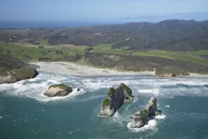
"Aerial Photograph: Capturing the World from Above" From the majestic HMS King George V, a Royal Navy battleship, to the enchanting Lombard Street in San Francisco - claimed to be the world's crookedest street - aerial photography unveils breathtaking perspectives of our planet. With its lens soaring over Kingston Bridge in Glasgow or hovering above AT&T Park, home of the San Francisco Giants, this art form offers us a bird's-eye view like no other. Venturing further into California's vibrant cityscape, an aerial shot reveals Alcatraz Island standing as a haunting reminder of its past as a maximum-security federal prison. Across oceans and continents, Pauatahanui Inlet in New Zealand's Wellington Region showcases nature's beauty from above while Mount Taranaki at dawn captivates with its ethereal presence on North Island. Exploring South Island treasures, Yellow Point and Broad Bay grace Dunedin's Otago Peninsula with their picturesque charm. But it is not just earthly wonders that capture our attention; even offshore structures like oil platforms become subjects for these captivating images. Intriguingly enough, aerial photography also takes us into military realms. The mighty HMS Ark Royal stands tall as a symbol of naval power while the HMS Maidstone serves as a submarine depot ship for the Royal Navy. Finally, we witness how this unique perspective can document natural disasters such as an aerial view revealing the flooded Birdsville Track in Australia – reminding us of both nature’s strength and vulnerability. Aerial photography allows us to appreciate familiar landmarks from new angles and discover hidden gems that are often overlooked. It invites us to see beyond what meets the eye and embrace diverse landscapes that shape our world. So let your imagination soar high with these stunning glimpses captured by photographers who dare to defy gravity.