Aerial Photograph Collection (#4)

"Aerial Photograph: Capturing the World from Above" From the majestic HMS King George V, a Royal Navy battleship

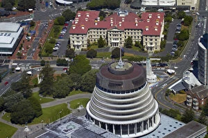
Background imageAerial Photograph Collection: The Beehive, Parliament Grounds, and Old Government Buildings, Wellington, North Island

The Beehive, Parliament Grounds, and Old Government Buildings, Wellington, North Island, New Zealand - aerial

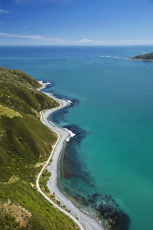
Background imageAerial Photograph Collection: Shoreline near Eastbourne, and entrance to Wellington Harbour, Wellington, North Island

Shoreline near Eastbourne, and entrance to Wellington Harbour, Wellington, North Island, New Zealand - aerial

Background imageAerial Photograph Collection: Farm crops, Rukuhia, near Hamilton, Waikato, North Island, New Zealand - aerial

Farm crops, Rukuhia, near Hamilton, Waikato, North Island, New Zealand - aerial

Background imageAerial Photograph Collection: Canoe Bay, Awaroa Head, Awaroa Bay, Abel Tasman National Park, Nelson Region, South Island

Canoe Bay, Awaroa Head, Awaroa Bay, Abel Tasman National Park, Nelson Region, South Island, New Zealand - aerial

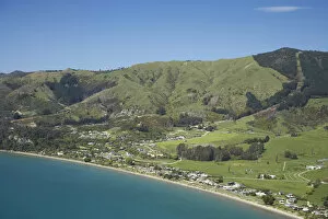
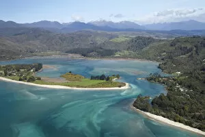
Background imageAerial Photograph Collection: Pohara, near Takaka, Golden Bay, Nelson Region, South Island, New Zealand - aerial

Pohara, near Takaka, Golden Bay, Nelson Region, South Island, New Zealand - aerial

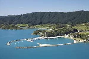
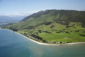
Background imageAerial Photograph Collection: Tarakohe, Golden Bay, Nelson Region, South Island, New Zealand - aerial

Tarakohe, Golden Bay, Nelson Region, South Island, New Zealand - aerial

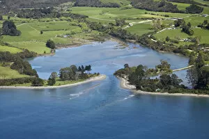
Background imageAerial Photograph Collection: Inlet, Onekaka, Golden Bay, Nelson Region, South Island, New Zealand - aerial

Inlet, Onekaka, Golden Bay, Nelson Region, South Island, New Zealand - aerial

Background imageAerial Photograph Collection: Collingwood and Aorere River Estuary, Golden Bay, Nelson Region, South Island, New

Collingwood and Aorere River Estuary, Golden Bay, Nelson Region, South Island, New Zealand - aerial

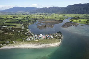
Background imageAerial Photograph Collection: Parapara (left), Parapara Inlet and Milnthorpe (right), Golden Bay, Nelson Region

Parapara (left), Parapara Inlet and Milnthorpe (right), Golden Bay, Nelson Region, South Island, New Zealand - aerial

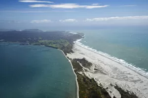
Background imageAerial Photograph Collection: Farewell Spit and Tasman Sea, Nelson Region, South Island, New Zealand - aerial

Farewell Spit and Tasman Sea, Nelson Region, South Island, New Zealand - aerial

Background imageAerial Photograph Collection: Holiday Homes, Pakawau, and Burnett Range, Golden Bay, Nelson Region, South Island

Holiday Homes, Pakawau, and Burnett Range, Golden Bay, Nelson Region, South Island, New Zealand - aerial

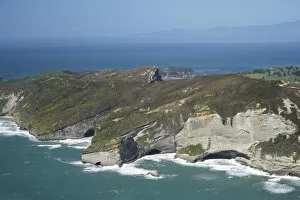
Background imageAerial Photograph Collection: Rugged Coast at Pillar Point near Cape Farewell, NW Nelson Region, South Island

Rugged Coast at Pillar Point near Cape Farewell, NW Nelson Region, South Island, New Zealand - aerial

Background imageAerial Photograph Collection: Farewell Spit and Golden Bay (left), Tasman Sea (right), Nelson Region, South Island

Farewell Spit and Golden Bay (left), Tasman Sea (right), Nelson Region, South Island, New Zealand - aerial

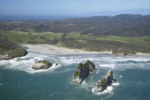
Background imageAerial Photograph Collection: Archway Islands, Wharariki Beach, south of Cape Farewell, NW Nelson Region, South Island

Archway Islands, Wharariki Beach, south of Cape Farewell, NW Nelson Region, South Island, New Zealand - aerial

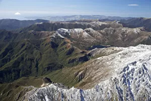
Background imageAerial Photograph Collection: Lead Hills and Clark Peak, Kahurangi National Park, Nelson Region, South Island

Lead Hills and Clark Peak, Kahurangi National Park, Nelson Region, South Island, New Zealand - aerial

Background imageAerial Photograph Collection: Boulder Lake and Clark Peak (right front), Kahurangi National Park, Nelson Region

Boulder Lake and Clark Peak (right front), Kahurangi National Park, Nelson Region, South Island, New Zealand - aerial

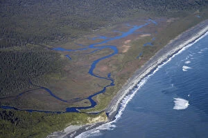
Background imageAerial Photograph Collection: Anaweka River Mouth, NW Nelson Region, South Island, New Zealand - aerial

Anaweka River Mouth, NW Nelson Region, South Island, New Zealand - aerial

Background imageAerial Photograph Collection: Early Light on Farmland near Mt Taranaki / Mt Egmont, Taranaki, North Island, New

Early Light on Farmland near Mt Taranaki / Mt Egmont, Taranaki, North Island, New Zealand - aerial

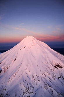
Background imageAerial Photograph Collection: Alpenglow on Summit of Mt Taranaki / Mt Egmont at Dawn, Taranaki, North Island, New

Alpenglow on Summit of Mt Taranaki / Mt Egmont at Dawn, Taranaki, North Island, New Zealand - aerial

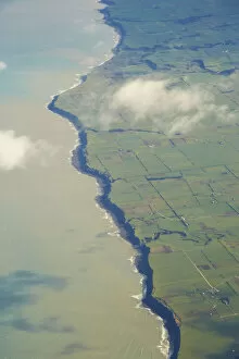
Background imageAerial Photograph Collection: South Taranaki Coastline, North Island, New Zealand - aerial

South Taranaki Coastline, North Island, New Zealand - aerial

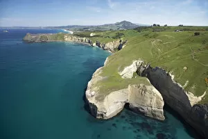
Background imageAerial Photograph Collection: Sea Cliffs near Blackhead, Dunedin, South Island, New Zealand - aerial

Sea Cliffs near Blackhead, Dunedin, South Island, New Zealand - aerial

Background imageAerial Photograph Collection: Rocky Point and Deborah Bay, Otago Harbour, Dunedin, South Island, New Zealand - aerial

Rocky Point and Deborah Bay, Otago Harbour, Dunedin, South Island, New Zealand - aerial

Background imageAerial Photograph Collection: Port Chalmers, Otago Harbour, Dunedin, South Island, New Zealand - aerial

Port Chalmers, Otago Harbour, Dunedin, South Island, New Zealand - aerial

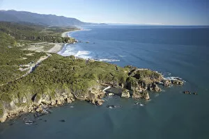
Background imageAerial Photograph Collection: Pancake Rocks, Punakaiki, Paparoa National Park, West Coast, South Island, New Zealand

Pancake Rocks, Punakaiki, Paparoa National Park, West Coast, South Island, New Zealand - aerial

Background imageAerial Photograph Collection: Pororari River Gorge, Punakaiki, Paparoa National Park, West Coast, South Island

Pororari River Gorge, Punakaiki, Paparoa National Park, West Coast, South Island, New Zealand - aerial

Background imageAerial Photograph Collection: Pakiroa Beach, near Punakaiki, West Coast, South Island, New Zealand - aerial

Pakiroa Beach, near Punakaiki, West Coast, South Island, New Zealand - aerial

Background imageAerial Photograph Collection: Almer Hut, above Franz Josef Glacier, West Coast, South Island, New Zealand - aerial

Almer Hut, above Franz Josef Glacier, West Coast, South Island, New Zealand - aerial

Background imageAerial Photograph Collection: Group of Guided Glacier Walkers and Crevasses, Franz Josef Glacier, West Coast, South Island

Group of Guided Glacier Walkers and Crevasses, Franz Josef Glacier, West Coast, South Island, New Zealand - aerial

Background imageAerial Photograph Collection: Chamberlin Snowfield and Mackay Rocks, above Franz Josef Glacier, West Coast, South Island

Chamberlin Snowfield and Mackay Rocks, above Franz Josef Glacier, West Coast, South Island, New Zealand - aerial

Background imageAerial Photograph Collection: Okarito Lagoon, West Coast, South Island, New Zealand - aerial

Okarito Lagoon, West Coast, South Island, New Zealand - aerial

Background imageAerial Photograph Collection: Waiho River near Franz Josef Glacier, West Coast, South Island, New Zealand - aerial

Waiho River near Franz Josef Glacier, West Coast, South Island, New Zealand - aerial

Background imageAerial Photograph Collection: Five Mile Lagoon, near Franz Josef Glacier, West Coast, South Island, New Zealand

Five Mile Lagoon, near Franz Josef Glacier, West Coast, South Island, New Zealand - aerial

Background imageAerial Photograph Collection: Okarito and Okarito Lagoon, West Coast, South Island, New Zealand - aerial

Okarito and Okarito Lagoon, West Coast, South Island, New Zealand - aerial

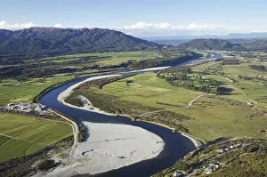
Background imageAerial Photograph Collection: Grey River near Greymouth, West Coast, South Island, New Zealand - aerial

Grey River near Greymouth, West Coast, South Island, New Zealand - aerial

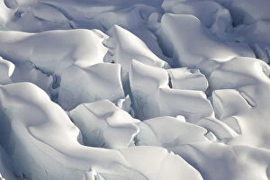
Background imageAerial Photograph Collection: Crevasses, Tasman Glacier, Aoraki / Mt Cook National Park, South Island, New Zealand

Crevasses, Tasman Glacier, Aoraki / Mt Cook National Park, South Island, New Zealand - aerial

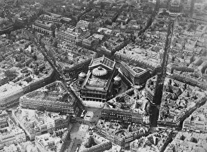
Background imageAerial Photograph Collection: Paris as seen from the air. Showing the Opera. 2 November 1928

Paris as seen from the air. Showing the Opera. 2 November 1928

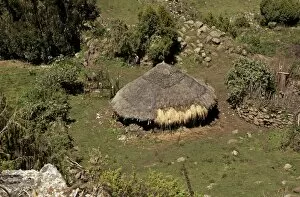
Background imageAerial Photograph Collection: Cattle shelter, Ethiopia C017 / 7614

Cattle shelter, Ethiopia C017 / 7614
Cattle shelter. Aerial view of a cattle shelter in the foothills of the Bale Mountains, Bale Mountains National Park, Ethiopia

Background imageAerial Photograph Collection: Rural settlement, Ethiopia C017 / 7625

Rural settlement, Ethiopia C017 / 7625
Rural settlement, Ethiopia. Aerial view of a traditional village just north of Addis Ababa, Ethiopia. This area is within the Oromo tribal district

Background imageAerial Photograph Collection: Fovant Badges, aerial photograph C018 / 0283

Fovant Badges, aerial photograph C018 / 0283
Fovant Badges. Aerial photograph of regimental badges cut into a chalk hillside on Fovant Down, near Fovant, Wiltshire, UK

Background imageAerial Photograph Collection: Bellanca Airfield, 1929 C018 / 0623

Bellanca Airfield, 1929 C018 / 0623
Bellanca Airfield. Aerial photograph of the airfield founded in 1928 by Italian-US aircraft engineer Giuseppe Mario Bellanca (1886-1960) and US industrialist Henry Belin du Pont (1898-1970)

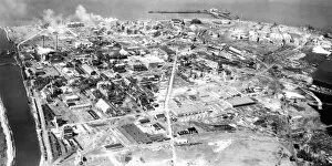
Background imageAerial Photograph Collection: DuPont Deepwater factory site, 1935 C018 / 0624

DuPont Deepwater factory site, 1935 C018 / 0624
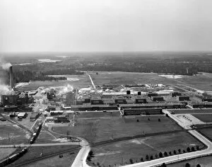
DuPont Deepwater factory site, aerial photograph. This view looks north-west over the Deepwater Point site, located in New Jersey, USA, on the eastern bank of the Delaware River

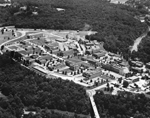
Background imageAerial Photograph Collection: DuPont Experimental Station, 1950s C018 / 0626

DuPont Experimental Station, 1950s C018 / 0626
DuPont Experimental Station, aerial photograph. This research site for the DuPont company is located on the banks of the Brandywine Creek in Wilmington, Delaware, USA. It was established in 1903

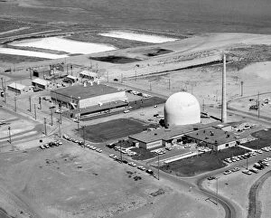
Background imageAerial Photograph Collection: Plutonium Recycle Test Reactor, 1950s C018 / 0625

Plutonium Recycle Test Reactor, 1950s C018 / 0625
Plutonium Recycle Test Reactor (PRTR), aerial photograph. This site was part of the Hanford Engineer Works (or Hanford Site), on the Columbia River, in Washington state, USA

Background imageAerial Photograph Collection: DuPont Seaford factory site, 1940s C018 / 0627

DuPont Seaford factory site, 1940s C018 / 0627
DuPont Seaford factory site, aerial photograph. Located at Seaford, Delaware, USA, and established in 1939, this was the first nylon yarn factory of the DuPont Company

Background imageAerial Photograph Collection: Limestone islands and reefs, Palau

Limestone islands and reefs, Palau. Aerial photograph of the limestone formations, coral reefs, and islands of Palau, a group of islands in Micronesia, in the Western Pacific Ocean

Background imageAerial Photograph Collection: Limestone islands of Palau

Limestone islands of Palau. Aerial photograph of the limestone formations and islands of Palau, a group of islands in Micronesia, in the Western Pacific Ocean

Background imageAerial Photograph Collection: Log booms, Canada

Log booms, Canada
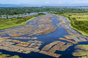
Log booms. Aerial photograph of log booms on a river. Here, the logs are stored on the water before being processed at a sawmill

Background imageAerial Photograph Collection: Roberts Bank Superport, Canada

Roberts Bank Superport, Canada
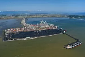
Roberts Bank Superport, aerial view. This ports has two terminals, the Deltaport container and the Westshore coal shipping terminal


For sale as Licensed Images

Choose your image, Select your licence and Download the media

"Aerial Photograph: Capturing the World from Above" From the majestic HMS King George V, a Royal Navy battleship, to the enchanting Lombard Street in San Francisco - claimed to be the world's crookedest street - aerial photography unveils breathtaking perspectives of our planet. With its lens soaring over Kingston Bridge in Glasgow or hovering above AT&T Park, home of the San Francisco Giants, this art form offers us a bird's-eye view like no other. Venturing further into California's vibrant cityscape, an aerial shot reveals Alcatraz Island standing as a haunting reminder of its past as a maximum-security federal prison. Across oceans and continents, Pauatahanui Inlet in New Zealand's Wellington Region showcases nature's beauty from above while Mount Taranaki at dawn captivates with its ethereal presence on North Island. Exploring South Island treasures, Yellow Point and Broad Bay grace Dunedin's Otago Peninsula with their picturesque charm. But it is not just earthly wonders that capture our attention; even offshore structures like oil platforms become subjects for these captivating images. Intriguingly enough, aerial photography also takes us into military realms. The mighty HMS Ark Royal stands tall as a symbol of naval power while the HMS Maidstone serves as a submarine depot ship for the Royal Navy. Finally, we witness how this unique perspective can document natural disasters such as an aerial view revealing the flooded Birdsville Track in Australia – reminding us of both nature’s strength and vulnerability. Aerial photography allows us to appreciate familiar landmarks from new angles and discover hidden gems that are often overlooked. It invites us to see beyond what meets the eye and embrace diverse landscapes that shape our world. So let your imagination soar high with these stunning glimpses captured by photographers who dare to defy gravity.