Aerial Photograph Collection (#7)

"Aerial Photograph: Capturing the World from Above" From the majestic HMS King George V, a Royal Navy battleship

Background imageAerial Photograph Collection: Tongue Reef and Yacht, Great Barrier Reef Marine Park, North Queensland, Australia

Tongue Reef and Yacht, Great Barrier Reef Marine Park, North Queensland, Australia - aerial

Background imageAerial Photograph Collection: Rudder Reef, Great Barrier Reef Marine Park, North Queensland, Australia - aerial

Rudder Reef, Great Barrier Reef Marine Park, North Queensland, Australia - aerial

Background imageAerial Photograph Collection: Undine Reef, Great Barrier Reef Marine Park, North Queensland, Australia - aerial

Undine Reef, Great Barrier Reef Marine Park, North Queensland, Australia - aerial

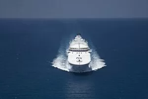
Background imageAerial Photograph Collection: Regal Princess Cruise Ship near Cape Tribulation, Great Barrier Reef, North Queensland

Regal Princess Cruise Ship near Cape Tribulation, Great Barrier Reef, North Queensland, Australia - aerial

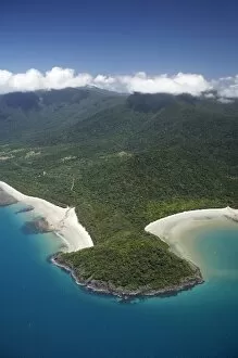
Background imageAerial Photograph Collection: Cape Tribulation, Daintree National Park (World Heritage Area), North Queensland

Cape Tribulation, Daintree National Park (World Heritage Area), North Queensland, Australia - aerial

Background imageAerial Photograph Collection: Road to Cape Tribulation (and flock of birds), Daintree National Park (World Heritage Area)

Road to Cape Tribulation (and flock of birds), Daintree National Park (World Heritage Area), North Queensland, Australia - aerial

Background imageAerial Photograph Collection: Daintree River, Daintree National Park (World Heritage Area), North Queensland, Australia

Daintree River, Daintree National Park (World Heritage Area), North Queensland, Australia - aerial

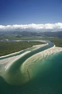
Background imageAerial Photograph Collection: Daintree River Mouth, Daintree National Park (World Heritage Area), North Queensland

Daintree River Mouth, Daintree National Park (World Heritage Area), North Queensland, Australia - aerial

Background imageAerial Photograph Collection: Palm Cove, Cairns, North Queensland, Australia - aerial

Palm Cove, Cairns, North Queensland, Australia - aerial

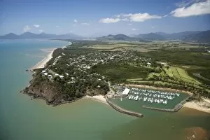
Background imageAerial Photograph Collection: Half Moon Bay Marina, Yorkeys Knob, Cairns, North Queensland, Australia - aerial

Half Moon Bay Marina, Yorkeys Knob, Cairns, North Queensland, Australia - aerial

Background imageAerial Photograph Collection: Barron River, Kuranda Railway Station and Skyrail Terminal, near Cairns, North Queensland

Barron River, Kuranda Railway Station and Skyrail Terminal, near Cairns, North Queensland, Australia - aerial

Background imageAerial Photograph Collection: Kuranda Scenic Railway at Red Bluff, Cairns, North Queensland, Australia - aerial

Kuranda Scenic Railway at Red Bluff, Cairns, North Queensland, Australia - aerial

Background imageAerial Photograph Collection: Freshwater, Cairns, North Queensland, Australia - aerial

Freshwater, Cairns, North Queensland, Australia - aerial

Background imageAerial Photograph Collection: Hoopers Inlet and Allans Beach, Otago Peninsula, Dunedin, South Island, New Zealand

Hoopers Inlet and Allans Beach, Otago Peninsula, Dunedin, South Island, New Zealand - aerial

Background imageAerial Photograph Collection: Twelve Mile Bluff and Motukiekie Rocks, north of Greymouth, West Coast, South Island

Twelve Mile Bluff and Motukiekie Rocks, north of Greymouth, West Coast, South Island, New Zealand - aerial

Background imageAerial Photograph Collection: Forest and Southern Alps nesr Franz Josef Glacier, West Coast, South Island, New

Forest and Southern Alps nesr Franz Josef Glacier, West Coast, South Island, New Zealand - aerial

Background imageAerial Photograph Collection: Forest Burster Range (centre) and Southern Alps nesr Franz Josef Glacier, West Coast

Forest Burster Range (centre) and Southern Alps nesr Franz Josef Glacier, West Coast, South Island, New Zealand - aerial

Background imageAerial Photograph Collection: Mt Elie de Beaumont, West Coast, South Island, New Zealand - aerial

Mt Elie de Beaumont, West Coast, South Island, New Zealand - aerial

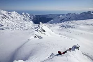
Background imageAerial Photograph Collection: Centennial Hut, above Franz Josef Glacier, West Coast, South Island, New Zealand - aerial

Centennial Hut, above Franz Josef Glacier, West Coast, South Island, New Zealand - aerial

Background imageAerial Photograph Collection: Salisbury Snowfield and Newton Rocks, above Franz Josef Glacier, West Coast, South Island

Salisbury Snowfield and Newton Rocks, above Franz Josef Glacier, West Coast, South Island, New Zealand - aerial

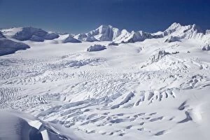
Background imageAerial Photograph Collection: Franz Josef Glacier Neve, West Coast, South Island, New Zealand - aerial

Franz Josef Glacier Neve, West Coast, South Island, New Zealand - aerial

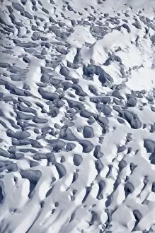
Background imageAerial Photograph Collection: Crevasses, Franz Josef Glacier, West Coast, South Island, New Zealand - aerial

Crevasses, Franz Josef Glacier, West Coast, South Island, New Zealand - aerial

Background imageAerial Photograph Collection: Kayakers, Lake Mapourika, and Southern Alps, West Coast, South Island, New Zealand

Kayakers, Lake Mapourika, and Southern Alps, West Coast, South Island, New Zealand - aerial

Background imageAerial Photograph Collection: Waitangitaona River, near Whataroa, West Coast, South Island, New Zealand - aerial

Waitangitaona River, near Whataroa, West Coast, South Island, New Zealand - aerial

Background imageAerial Photograph Collection: Tasman Glacier, Aoraki / Mt Cook National Park, South Island, New Zealand - aerial

Tasman Glacier, Aoraki / Mt Cook National Park, South Island, New Zealand - aerial

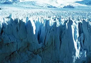
Background imageAerial Photograph Collection: Glacial ice cliff

Glacial ice cliff. Aerial view of the crevasses lying between the vertical ice strata, at the head of a glacier. Glaciers that arrive at the coast tend to become less stable

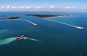
Background imageAerial Photograph Collection: MOSE flood barrier construction, Venice

MOSE flood barrier construction, Venice. The MOSE project is intended to protect the city of Venice, Italy, from extreme floods

Background imageAerial Photograph Collection: Coral reef

Coral reef. Aerial view of a reef island, part of the Lakshadweep Archipelago of 36 islands, about 350 kilometres west of India

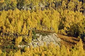
Background imageAerial Photograph Collection: Silver birch woodland in autumn

Silver birch woodland in autumn
Silver birch (Betula pendula) woodland on a rocky hillside in autumn. Beech leaves turn yellow in the autumn. Photographed in Rothiemurchus Forest

Background imageAerial Photograph Collection: Cairngorm Ski Centre in a blizzard

Cairngorm Ski Centre in a blizzard. The structures visible here are some of the ski lifts. The Cairngorm Ski Centre is located on the Cairn Gorm mountain (1245 metres) in the Highlands of Scotland

Background imageAerial Photograph Collection: Barringer Crater, aerial photograph

Barringer Crater, aerial photograph
Barringer Crater, Arizona, USA, aerial photograph. This crater, also known as Meteor Crater, was formed over 50, 000 years ago by the impact of an iron meteorite (space rock)

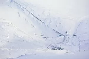
Background imageAerial Photograph Collection: Cairngorm Ski Centre and railway

Cairngorm Ski Centre and railway, closed by heavy snow. The ski centre is at lower centre, with ski lifts leading outwards from the buildings

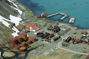
Background imageAerial Photograph Collection: Grytviken whaling station, South Georgia

Grytviken whaling station, South Georgia, aerial photograph. This is one of several abandoned whaling stations in South Georgia

Background imageAerial Photograph Collection: Farm buildings and fields, aerial view

Farm buildings and fields, aerial view

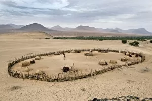
Background imageAerial Photograph Collection: Himba kraal, Namibia

Himba kraal, Namibia. Aerial photograph of a kraal (livestock enclosure) of the Himba people of northern Namibia. The Himba are pastoral and nomadic, tending herds of goats and cattle

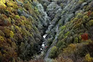
Background imageAerial Photograph Collection: Lynmouth Valley in autumn

Lynmouth Valley in autumn. The valley of the river Lyn near Lymouth seen from above and looking towards Countisbury, Exmoor, Devon, England

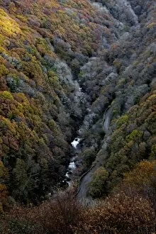
Background imageAerial Photograph Collection: Lynmouth Valley in autumn

Lynmouth Valley in autumn. The valley of the river Lyn near Lymouth seen from above and looking towards Countisbury, Exmoor, Devon, England

Background imageAerial Photograph Collection: River garden, Laos

River garden, Laos
River garden. Vegetable garden being cultivated on the exposed banks of a river during the dry season. Water from the river is used to irrigate the crops. Photographed in Attapeu district, Laos

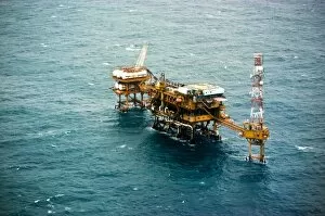
Background imageAerial Photograph Collection: Oil platform

Oil platform. Aerial view, from a helicopter, of an oil platform. Oil platforms are used to drill for and pump oil from below the Earths surface, often from below the seabed

Background imageAerial Photograph Collection: Oil platform

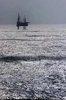
Oil platform. Silhouetted view from a helicopter, across a sun-dappled sea, of an oil platform. Oil platforms are used to drill for and pump oil from below the Earths surface

Background imageAerial Photograph Collection: Eruption of Klyuchevskaya Sopka volcano

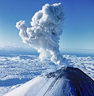
Eruption of Klyuchevskaya Sopka volcano. This volcano is on the Kamchatka Peninsula, in the Russian Far East. It is a stratovolcano, and the tallest active volcano in Eurasia

Background imageAerial Photograph Collection: Nickel ore processing factory

Nickel ore processing factory. Aerial photograph of the chimney stacks and buildings of the Norilsk Nickel Company nickel ore processing factory, near Norilsk, northern Siberia, Russia

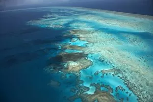
Background imageAerial Photograph Collection: Arlington Reef, Great Barrier Reef Marine Park, North Queensland, Australia - aerial

Arlington Reef, Great Barrier Reef Marine Park, North Queensland, Australia - aerial

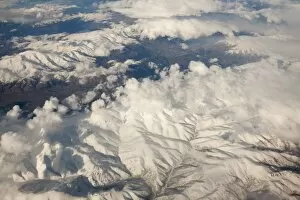
Background imageAerial Photograph Collection: Flying over snow covered mountains in Iran

Flying over snow covered mountains in Iran
Ashley Cooper / SpecialistStock

Background imageAerial Photograph Collection: Flying over Iran showing the geology and irrigated fields

Flying over Iran showing the geology and irrigated fields
Ashley Cooper / SpecialistStock


For sale as Licensed Images

Choose your image, Select your licence and Download the media

"Aerial Photograph: Capturing the World from Above" From the majestic HMS King George V, a Royal Navy battleship, to the enchanting Lombard Street in San Francisco - claimed to be the world's crookedest street - aerial photography unveils breathtaking perspectives of our planet. With its lens soaring over Kingston Bridge in Glasgow or hovering above AT&T Park, home of the San Francisco Giants, this art form offers us a bird's-eye view like no other. Venturing further into California's vibrant cityscape, an aerial shot reveals Alcatraz Island standing as a haunting reminder of its past as a maximum-security federal prison. Across oceans and continents, Pauatahanui Inlet in New Zealand's Wellington Region showcases nature's beauty from above while Mount Taranaki at dawn captivates with its ethereal presence on North Island. Exploring South Island treasures, Yellow Point and Broad Bay grace Dunedin's Otago Peninsula with their picturesque charm. But it is not just earthly wonders that capture our attention; even offshore structures like oil platforms become subjects for these captivating images. Intriguingly enough, aerial photography also takes us into military realms. The mighty HMS Ark Royal stands tall as a symbol of naval power while the HMS Maidstone serves as a submarine depot ship for the Royal Navy. Finally, we witness how this unique perspective can document natural disasters such as an aerial view revealing the flooded Birdsville Track in Australia – reminding us of both nature’s strength and vulnerability. Aerial photography allows us to appreciate familiar landmarks from new angles and discover hidden gems that are often overlooked. It invites us to see beyond what meets the eye and embrace diverse landscapes that shape our world. So let your imagination soar high with these stunning glimpses captured by photographers who dare to defy gravity.