Atlas Collection (#3)

"Exploring the World through Atlas: Unveiling the Past and Present" Delving into history, the vintage Map of Ireland from 1897 takes us on a journey back in time

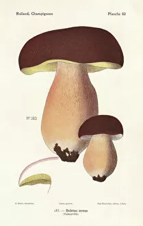
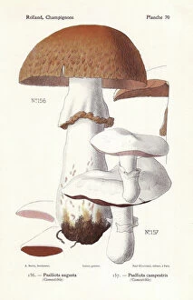
Background imageAtlas Collection: Prince mushroom and field mushroom

Prince mushroom and field mushroom
Prince mushroom, Agaricus augustus (Psalliota augusta) and field mushroom, Agaricus campestris (Psalliota campestris). Chromolithograph by Lassus after an illustration by A

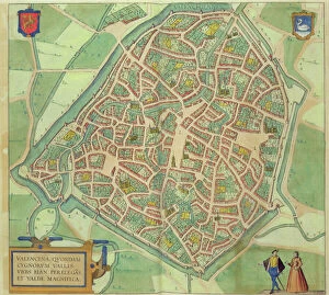
Background imageAtlas Collection: Map of Valencia, from Civitates Orbis Terrarum

Map of Valencia, from Civitates Orbis Terrarum
STC138966 Map of Valencia, from Civitates Orbis Terrarum by Georg Braun (1541-1622) and Frans Hogenberg (1535-90) c.1572-1617 (coloured engraving) by Hoefnagel

Background imageAtlas Collection: 1706, De La Feuille Map of Europe, topography, cartography, geography, land, illustration

1706, De La Feuille Map of Europe, topography, cartography, geography, land, illustration
1706, De La Feuille Map of Europe

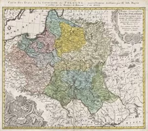
Background imageAtlas Collection: 1750, Homann Heirs Map of Poland, topography, cartography, geography, land, illustration

1750, Homann Heirs Map of Poland, topography, cartography, geography, land, illustration
1750, Homann Heirs Map of Poland

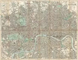
Background imageAtlas Collection: 1890, Bacon Travelers Pocket Map of London, England, topography, cartography

1890, Bacon Travelers Pocket Map of London, England, topography, cartography
1890, Bacon Travelers Pocket Map of London, England

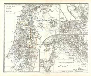
Background imageAtlas Collection: 1865, Spruner Map of Israel, Canaan, or Palestine in Ancient Times, topography, cartography

1865, Spruner Map of Israel, Canaan, or Palestine in Ancient Times, topography, cartography
1865, Spruner Map of Israel, Canaan, or Palestine in Ancient Times

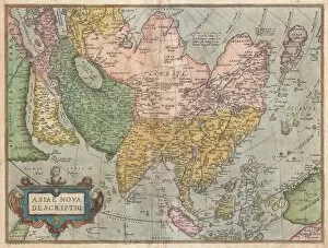
Background imageAtlas Collection: 1570, Ortelius Map of Asia, first edition, Abraham Ortelius, also Orthellius, 1527 - 1598

1570, Ortelius Map of Asia, first edition, Abraham Ortelius, also Orthellius, 1527 - 1598, Flemish, Netherlandish cartographer and geographer

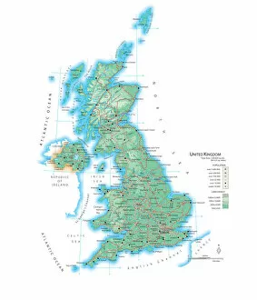
Background imageAtlas Collection: Map of the United Kingdom

Map of the United Kingdom

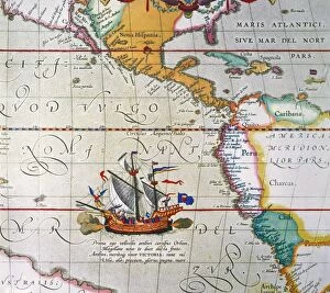
Background imageAtlas Collection: MAGELLAN: VICTORIA, 1590. Ferdinand Magellans ship Victoria under full sail

MAGELLAN: VICTORIA, 1590. Ferdinand Magellans ship Victoria under full sail. Detail from Abraham Ortelius map of the Pacific Ocean, 1590

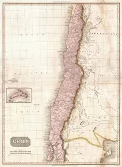
Background imageAtlas Collection: 1818, Pinkerton Map of Chile, John Pinkerton, 1758 - 1826, Scottish antiquarian, cartographer

1818, Pinkerton Map of Chile, John Pinkerton, 1758 - 1826, Scottish antiquarian, cartographer, UK

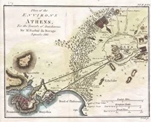
Background imageAtlas Collection: 1784, Bocage Map of the City of Athens in Ancient Greece, topography, cartography

1784, Bocage Map of the City of Athens in Ancient Greece, topography, cartography
1784, Bocage Map of the City of Athens in Ancient Greece

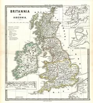
Background imageAtlas Collection: 1865, Spruner Map of the British Isles, England, Scotland, Ireland, topography, cartography

1865, Spruner Map of the British Isles, England, Scotland, Ireland, topography, cartography
1865, Spruner Map of the British Isles, England, Scotland, Ireland

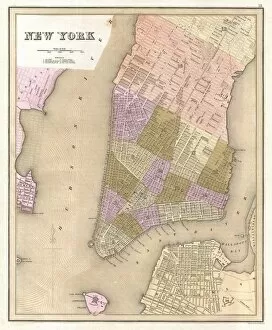
Background imageAtlas Collection: 1839, Bradford Map of New York City, New York, topography, cartography, geography

1839, Bradford Map of New York City, New York, topography, cartography, geography
1839, Bradford Map of New York City, New York

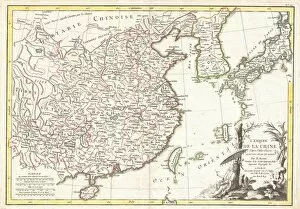
Background imageAtlas Collection: 1770, Bonne Map of China, Korea, Japan and Formosa, Rigobert Bonne 1727 - 1794, one

1770, Bonne Map of China, Korea, Japan and Formosa, Rigobert Bonne 1727 - 1794, one of the most important cartographers of the late 18th century

Background imageAtlas Collection: 1683, Mortier Map of North America, the West Indies, and the Atlantic Ocean, topography

1683, Mortier Map of North America, the West Indies, and the Atlantic Ocean, topography
1683, Mortier Map of North America, the West Indies, and the Atlantic Ocean

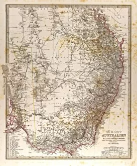
Background imageAtlas Collection: Australia Map Gotha, Justus Perthes, 1872, Atlas

Australia Map Gotha, Justus Perthes, 1872, Atlas. Perthes, Johan Georg Justus 1749 aa 1816, German publisher, was born in Rudolstadt in 1749

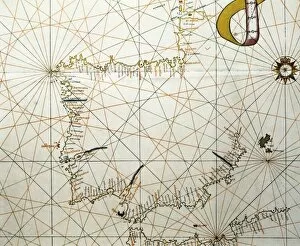
Background imageAtlas Collection: Portolan Atlas, 1587. Map of the Iberian Peninsula

Portolan Atlas, 1587. Map of the Iberian Peninsula, the north coastline of Africa and the Vasque Countrys region in France. Made in Messina. Facsimile. Miniature Painting. SPAIN. Madrid

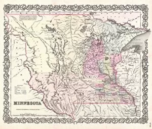
Background imageAtlas Collection: 1855, Colton Map of Minnesota, topography, cartography, geography, land, illustration

1855, Colton Map of Minnesota, topography, cartography, geography, land, illustration
1855, Colton Map of Minnesota

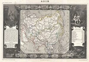
Background imageAtlas Collection: 1852, Levasseur Map of Asia, topography, cartography, geography, land, illustration

1852, Levasseur Map of Asia, topography, cartography, geography, land, illustration
1852, Levasseur Map of Asia

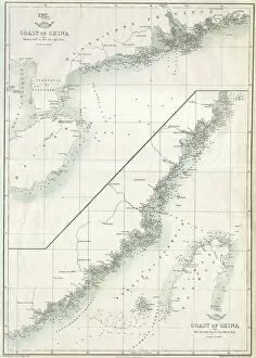
Background imageAtlas Collection: 1863, Cassells Dispatch Atlas Map of Taiwan, Formosa and the Hainan Coast of China

1863, Cassells Dispatch Atlas Map of Taiwan, Formosa and the Hainan Coast of China

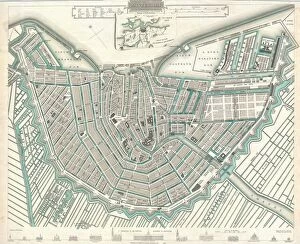
Background imageAtlas Collection: 1835, S. D. U. K. City Map or Plan of Amsterdam, The Netherlands, topography, cartography

1835, S. D. U. K. City Map or Plan of Amsterdam, The Netherlands, topography, cartography
1835, S.D.U.K. City Map or Plan of Amsterdam, The Netherlands

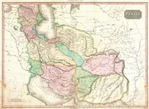
Background imageAtlas Collection: 1818, Pinkerton Map of Persia, Iran, Afghanistan, John Pinkerton, 1758 - 1826, Scottish

1818, Pinkerton Map of Persia, Iran, Afghanistan, John Pinkerton, 1758 - 1826, Scottish antiquarian, cartographer, UK

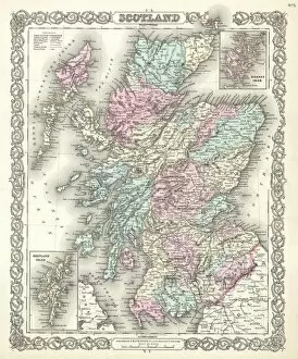
Background imageAtlas Collection: 1855, Colton Map of Scotland, topography, cartography, geography, land, illustration

1855, Colton Map of Scotland, topography, cartography, geography, land, illustration
1855, Colton Map of Scotland

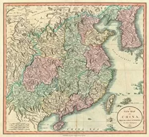
Background imageAtlas Collection: 1801, Cary Map of China and Korea, John Cary, 1754 - 1835, English cartographer, topography

1801, Cary Map of China and Korea, John Cary, 1754 - 1835, English cartographer, topography
1801, Cary Map of China and Korea, John Cary, 1754 - 1835, English cartographer

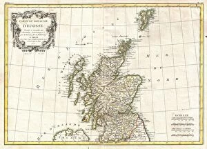
Background imageAtlas Collection: 1772, Bonne Map of Scotland, Rigobert Bonne 1727 - 1794, one of the most important

1772, Bonne Map of Scotland, Rigobert Bonne 1727 - 1794, one of the most important cartographers of the late 18th century

Background imageAtlas Collection: 1864, Garnier Map of Pairs, France w-Monuments, topography, cartography, geography

1864, Garnier Map of Pairs, France w-Monuments, topography, cartography, geography
1864, Garnier Map of Pairs, France w-Monuments

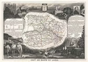
Background imageAtlas Collection: 1852, Levasseur Map of the Department De Maine et Loire, France, topography, cartography

1852, Levasseur Map of the Department De Maine et Loire, France, topography, cartography
1852, Levasseur Map of the Department De Maine et Loire, France

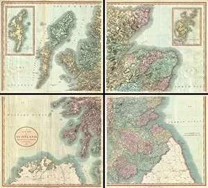
Background imageAtlas Collection: 1801, Cary Map of Scotland, 4 Sheets, John Cary, 1754 - 1835, English cartographer

1801, Cary Map of Scotland, 4 Sheets, John Cary, 1754 - 1835, English cartographer

Background imageAtlas Collection: Corner of a Library, 1711. Creator: Jan van der Heyden

Corner of a Library, 1711. Creator: Jan van der Heyden
Corner of a Library, 1711. An interior set against a plain wall with a bookcase to one side on which are neatly arranged volumes in perfect order

Background imageAtlas Collection: World Map Art Illustration 01

World Map Art Illustration 01
Rafal Kulik

Background imageAtlas Collection: World Map Art Illustration 02

World Map Art Illustration 02
Rafal Kulik

Background imageAtlas Collection: World Map Art Illustration 04

World Map Art Illustration 04
Rafal Kulik

Background imageAtlas Collection: World Map Art Illustration 03

World Map Art Illustration 03
Rafal Kulik

Background imageAtlas Collection: World Map Art Illustration 05

World Map Art Illustration 05
Rafal Kulik

Background imageAtlas Collection: World Map Art Illustration 06

World Map Art Illustration 06
Rafal Kulik

Background imageAtlas Collection: World Map Art Illustration 07

World Map Art Illustration 07
Rafal Kulik

Background imageAtlas Collection: World Map Art Illustration 08

World Map Art Illustration 08
Rafal Kulik

Background imageAtlas Collection: World Map Art Illustration 09

World Map Art Illustration 09
Rafal Kulik

Background imageAtlas Collection: World Map Art Illustration 10

World Map Art Illustration 10
Rafal Kulik

Background imageAtlas Collection: Map of the World (2)

Map of the World (2)
Justyna Jaszke

Background imageAtlas Collection: Map of the World (1)

Map of the World (1)
Justyna Jaszke

Background imageAtlas Collection: Map of the World (4)

Map of the World (4)
Justyna Jaszke

Background imageAtlas Collection: Map of the World (3)

Map of the World (3)
Justyna Jaszke

Background imageAtlas Collection: Map of the World (6)

Map of the World (6)
Justyna Jaszke

Background imageAtlas Collection: Map of the World (5)

Map of the World (5)
Justyna Jaszke

Background imageAtlas Collection: Map of the World (7)

Map of the World (7)
Justyna Jaszke

Background imageAtlas Collection: Map of the World (8)

Map of the World (8)
Justyna Jaszke

Background imageAtlas Collection: Map of the World (9)

Map of the World (9)
Justyna Jaszke


For sale as Licensed Images

Choose your image, Select your licence and Download the media

"Exploring the World through Atlas: Unveiling the Past and Present" Delving into history, the vintage Map of Ireland from 1897 takes us on a journey back in time, unraveling the secrets of this enchanting land. Witnessing scientific breakthroughs, the Higgs boson event captured by ATLAS detector C013 / 6892 at CERN unveils a whole new realm of particle physics. The Map of the World from 1882 serves as a window to an era long gone, offering glimpses into how our planet was perceived centuries ago. James Craig's intricate map showcases Edinburgh's New Town in 1768, providing insight into its early development and topography. Embarking on an adventure to Croatia with its captivating map that unravels hidden gems and scenic landscapes waiting to be explored. Dürer's world map from 1515 offers a glimpse into Renaissance cartography, showcasing both geographical knowledge and artistic finesse. The ATLAS detector at CERN continues to push boundaries in scientific exploration, enabling us to delve deeper into understanding fundamental particles and their interactions. Transported back in time with a mesmerizing 16th Century Plan of Florence; it reveals architectural wonders that have stood the test of time. A haunting reminder of war-torn Sheffield during WWII emerges through an Ordnance Survey map copied by Germans marked with bombing targets - bearing witness to resilience amidst adversity. With Delisle's ancient Greek maps dating back to 1794, we can trace footsteps across Southern Greece, Greek Isles, and Crete while exploring their rich topography steeped in mythological tales. Discovering Buenos Aires through its vibrant cityscape depicted on an alluring map invites you to immerse yourself in Argentine culture and charm.