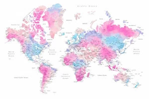
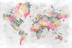
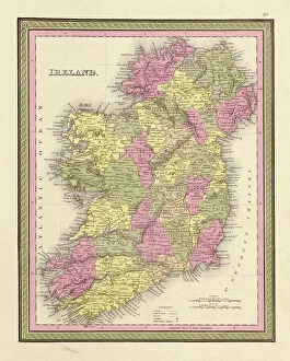
Atlas Collection (page 5)

"Exploring the World through Atlas: Unveiling the Past and Present" Delving into history, the vintage Map of Ireland from 1897 takes us on a journey back in time

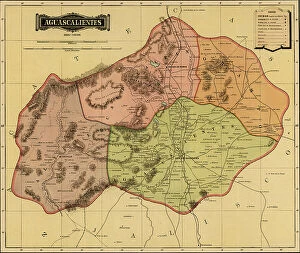
Background imageAtlas Collection: Aguascalientes, 1844

Aguascalientes, 1844
2902770 Aguascalientes, 1844; (add.info.: Aguascalientes, 1844.); Buyenlarge Archive/UIG

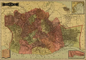
Background imageAtlas Collection: Oaxaca, 1844

Oaxaca, 1844
2902766 Oaxaca, 1844; (add.info.: Oaxaca, 1844.); Buyenlarge Archive/UIG

Background imageAtlas Collection: Guerrero, 1844

Guerrero, 1844
2902765 Guerrero, 1844; (add.info.: Guerrero, 1844.); Buyenlarge Archive/UIG

Background imageAtlas Collection: Jalisco, 1844

Jalisco, 1844
2902762 Jalisco, 1844; (add.info.: Jalisco, 1844.); Buyenlarge Archive/UIG

Background imageAtlas Collection: Campeche, 1844

Campeche, 1844
2902759 Campeche, 1844; (add.info.: Campeche, 1844.); Buyenlarge Archive/UIG

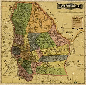
Background imageAtlas Collection: Chihuahua

Chihuahua
2902754 Chihuahua; (add.info.: Chihuahua, Mexico, 1884.); Buyenlarge Archive/UIG

Background imageAtlas Collection: Political Map of Mexico, 1885

Political Map of Mexico, 1885
2902253 Political Map of Mexico, 1885; (add.info.: Geographic map surrounded by government buildings, Major Politicians. Printed in Spanish.); Buyenlarge Archive/UIG
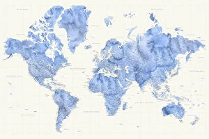
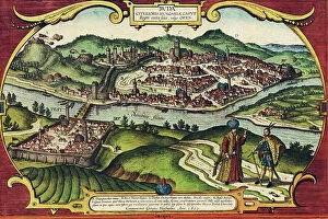
Background imageAtlas Collection: Buda, Hungary

Buda, Hungary
2901914 Buda, Hungary; (add.info.: City has status of - county; communities of Buda (right bank) - Pest (left) developed at important crossing point of the Danube; both were Roman settlements; both

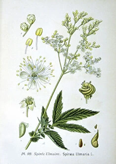
Background imageAtlas Collection: Meadowsweet, 1893 (engraving)

Meadowsweet, 1893 (engraving)
543440 Meadowsweet, 1893 (engraving) by Unknown Artist, (19th century); (add.info.: Meadowsweet (Spirea ulmaria or Filipendula ulmaria) perennial herb native of Europe and Western Asia

Background imageAtlas Collection: Elizabeth I Saxton Atlas, 16th century (engraving)

Elizabeth I Saxton Atlas, 16th century (engraving)
3118913 Elizabeth I Saxton Atlas, 16th century (engraving); (add.info.: Elizabeth I Saxton Atlas, the frontispiece to Christopher Saxton's Atlas of England and Wales)

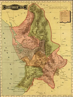
Background imageAtlas Collection: Terrirotrio de tepic, 1844

Terrirotrio de tepic, 1844
2902781 Terrirotrio de tepic, 1844; (add.info.: Terrirotrio de tepic, 1844.); Buyenlarge Archive/UIG

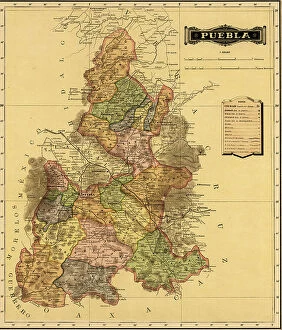
Background imageAtlas Collection: Puebla, 1844

Puebla, 1844
2902777 Puebla, 1844; (add.info.: Puebla, 1844.); Buyenlarge Archive/UIG

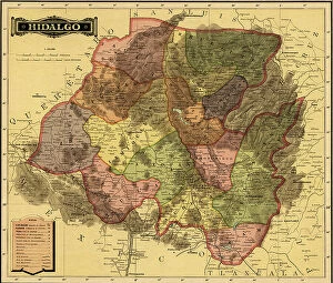
Background imageAtlas Collection: Hidalgo, 1844

Hidalgo, 1844
2902774 Hidalgo, 1844; (add.info.: Hidalgo, 1844.); Buyenlarge Archive/UIG

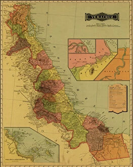
Background imageAtlas Collection: Vera Cruz, 1844

Vera Cruz, 1844
2902757 Vera Cruz, 1844; (add.info.: Vera Cruz, 1844.); Buyenlarge Archive/UIG

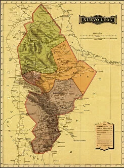
Background imageAtlas Collection: Nuevo Leon, 1844

Nuevo Leon, 1844
2902755 Nuevo Leon, 1844; (add.info.: Nuevo Leon, 1844.); Buyenlarge Archive/UIG

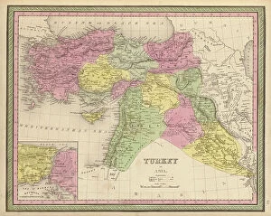
Background imageAtlas Collection: Turkey in Asia, 1849

Turkey in Asia, 1849
2902287 Turkey in Asia, 1849; (add.info.: Turkey in Asia, 1849.); Buyenlarge Archive/UIG

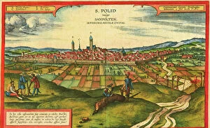
Background imageAtlas Collection: Sankt Polten, Austria

Sankt Polten, Austria
2901913 Sankt Polten, Austria; (add.info.: The city is situated on the Traisen River in northeastern Austria, between the Danube River and the foothills of the Alps)

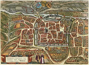
Background imageAtlas Collection: Weimar, Germany

Weimar, Germany
2901912 Weimar, Germany; (add.info.: Located on Ilm river; was medieval center; ruled by counts of Weimar-Orlamde from 1247)

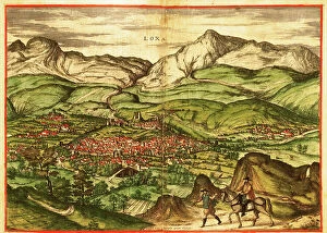
Background imageAtlas Collection: Loja, Granada, Spain, 17th century

Loja, Granada, Spain, 17th century
2901840 Loja, Granada, Spain, 17th century; (add.info.: City Captured from the Moors by Isabella during the Inquisition; It was called - flower amongst thorns.); Buyenlarge Archive/UIG

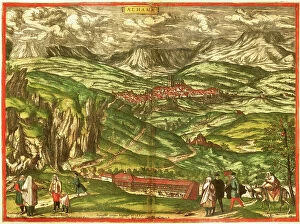
Background imageAtlas Collection: Alhama de Granada, 17th century

Alhama de Granada, 17th century
2901793 Alhama de Granada, 17th century; (add.info.: City famous for its Baths, named after the Arabic.); Buyenlarge Archive/UIG

Background imageAtlas Collection: Scotland

Scotland
2902837 Scotland; (add.info.: Scotland, 1849.); Buyenlarge Archive/UIG

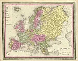
Background imageAtlas Collection: Europe, 1849

Europe, 1849
2902835 Europe, 1849; (add.info.: Europe, 1849.); Buyenlarge Archive/UIG

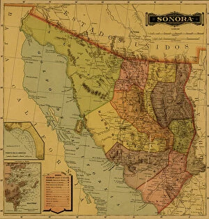
Background imageAtlas Collection: Sonora, Mexico, 1884

Sonora, Mexico, 1884
2902753 Sonora, Mexico, 1884; (add.info.: Sonora, Mexico, 1884.); Buyenlarge Archive/UIG

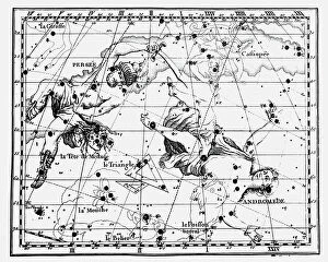
Background imageAtlas Collection: Constellations of Perseus carrying the head of Medusa, Andromeda chained to a rock

Constellations of Perseus carrying the head of Medusa, Andromeda chained to a rock, and the Triangle, 1775 (engraving)
542189 Constellations of Perseus carrying the head of Medusa, Andromeda chained to a rock, and the Triangle, 1775 (engraving); (add.info.: From JJ Fortin Atlas Coelestis de Flamsteed Paris 1775)

Background imageAtlas Collection: Portugese Navigational Map of the North Atlantic, 1630

Portugese Navigational Map of the North Atlantic, 1630
2902820 Portugese Navigational Map of the North Atlantic, 1630; (add.info.: Portugese Navigational Map of the North Atlantic, 1630.); Buyenlarge Archive/UIG

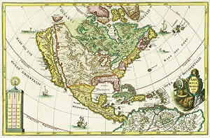
Background imageAtlas Collection: America borealis. Map of North American showing California as an island

America borealis. Map of North American showing California as an island, from Heinrich Scherer's Geographia
3432624 America borealis. Map of North American showing California as an island, from Heinrich Scherer's Geographia hierarchica, 1699 (colour litho) by German School

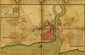
Background imageAtlas Collection: Siege of Santo Domingo

Siege of Santo Domingo
2902889 Siege of Santo Domingo; (add.info.: Siege of Santo Domingo, 1895.); Buyenlarge Archive/UIG

Background imageAtlas Collection: Coahila

Coahila
2902782 Coahila; (add.info.: Coahila, 1844.); Buyenlarge Archive/UIG

Background imageAtlas Collection: Mexico Federal District, 1844

Mexico Federal District, 1844
2902780 Mexico Federal District, 1844; (add.info.: Mexico Federal District, 1844.); Buyenlarge Archive/UIG

Background imageAtlas Collection: Morelos, 1844

Morelos, 1844
2902776 Morelos, 1844; (add.info.: Morelos, 1844.); Buyenlarge Archive/UIG

Background imageAtlas Collection: Coahila

Coahila
2902763 Coahila; (add.info.: Coahila, 1844.); Buyenlarge Archive/UIG

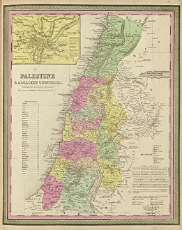
Background imageAtlas Collection: Palestine and Adjacent Countries, 1849

Palestine and Adjacent Countries, 1849
2902288 Palestine and Adjacent Countries, 1849; (add.info.: Palestine and Adjacent Countries, 1849.); Buyenlarge Archive/UIG

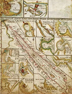
Background imageAtlas Collection: Portuguese Map of the Red Sea, The Middle east, 1630

Portuguese Map of the Red Sea, The Middle east, 1630
2902267 Portuguese Map of the Red Sea, The Middle east, 1630; (add.info.: Portuguese Map of the Red Sea, The Middle east, 1630.); Buyenlarge Archive/UIG

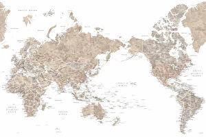
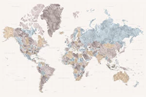
Background imageAtlas Collection: Pacific centered world map in dusty pink

Pacific centered world map in dusty pink
Rosana Laiz Blursbyai

Background imageAtlas Collection: Pacific centered world map in taupe

Pacific centered world map in taupe
Rosana Laiz Blursbyai

Background imageAtlas Collection: Pacific centered world map in gray watercolor

Pacific centered world map in gray watercolor
Rosana Laiz Blursbyai

Background imageAtlas Collection: Tatiana world map in Spanish

Tatiana world map in Spanish
Rosana Laiz Blursbyai

Background imageAtlas Collection: Parlan high detail world map

Parlan high detail world map
Rosana Laiz Blursbyai

Background imageAtlas Collection: Mahler highly detailed world map with cities

Mahler highly detailed world map with cities
Rosana Laiz Blursbyai

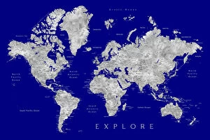
Background imageAtlas Collection: Explore world map with cities, Valrie

Explore world map with cities, Valrie
Rosana Laiz Blursbyai

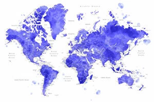
Background imageAtlas Collection: Watercolor world map with cities, Uyen

Watercolor world map with cities, Uyen
Rosana Laiz Blursbyai

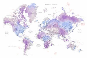
Background imageAtlas Collection: Watercolor world map with cities, Gina

Watercolor world map with cities, Gina
Rosana Laiz Blursbyai

Background imageAtlas Collection: Watercolor world map with cities, Keahi

Watercolor world map with cities, Keahi
Rosana Laiz Blursbyai

Background imageAtlas Collection: Watercolor world map with cities, Zadie

Watercolor world map with cities, Zadie
Rosana Laiz Blursbyai

Background imageAtlas Collection: Atlas supporting the sky, 17th century (engraving)

Atlas supporting the sky, 17th century (engraving)
3480606 Atlas supporting the sky, 17th century (engraving); (add.info.: Atlas supporting the sky. Engraving depicting Jason and the Argonuats from Tableaux du temple des muses (1655)

Background imageAtlas Collection: Oxford University Area Pocket Guide, England, 1805

Oxford University Area Pocket Guide, England, 1805
2902839 Oxford University Area Pocket Guide, England, 1805; (add.info.: A new and accurate map of the country for twenty five miles round the University of Oxford)

Background imageAtlas Collection: Ireland, 1849

Ireland, 1849
2902838 Ireland, 1849; (add.info.: Ireland, 1849.); Buyenlarge Archive/UIG

Background imageAtlas Collection: Tlaxcala, 1844

Tlaxcala, 1844
2902778 Tlaxcala, 1844; (add.info.: Tlaxcala, 1844.); Buyenlarge Archive/UIG


For sale as Licensed Images

Choose your image, Select your licence and Download the media

"Exploring the World through Atlas: Unveiling the Past and Present" Delving into history, the vintage Map of Ireland from 1897 takes us on a journey back in time, unraveling the secrets of this enchanting land. Witnessing scientific breakthroughs, the Higgs boson event captured by ATLAS detector C013 / 6892 at CERN unveils a whole new realm of particle physics. The Map of the World from 1882 serves as a window to an era long gone, offering glimpses into how our planet was perceived centuries ago. James Craig's intricate map showcases Edinburgh's New Town in 1768, providing insight into its early development and topography. Embarking on an adventure to Croatia with its captivating map that unravels hidden gems and scenic landscapes waiting to be explored. Dürer's world map from 1515 offers a glimpse into Renaissance cartography, showcasing both geographical knowledge and artistic finesse. The ATLAS detector at CERN continues to push boundaries in scientific exploration, enabling us to delve deeper into understanding fundamental particles and their interactions. Transported back in time with a mesmerizing 16th Century Plan of Florence; it reveals architectural wonders that have stood the test of time. A haunting reminder of war-torn Sheffield during WWII emerges through an Ordnance Survey map copied by Germans marked with bombing targets - bearing witness to resilience amidst adversity. With Delisle's ancient Greek maps dating back to 1794, we can trace footsteps across Southern Greece, Greek Isles, and Crete while exploring their rich topography steeped in mythological tales. Discovering Buenos Aires through its vibrant cityscape depicted on an alluring map invites you to immerse yourself in Argentine culture and charm.