City Map Collection (#25)

"Unveiling the Tapestry of Time: A Journey through City Maps" Step back in time and explore the intricate details of ancient cities with these captivating city maps

Background imageCity Map Collection: Amarillo Texas US City Street Map

Amarillo Texas US City Street Map
Vector Illustration of a City Street Map of Amarillo, Texas, USA. Scale 1:60, 000. All source data is in the public domain. U.S

Background imageCity Map Collection: Grand Prairie Texas US City Street Map

Grand Prairie Texas US City Street Map
Vector Illustration of a City Street Map of Grand Prairie, Texas, USA. Scale 1:60, 000. All source data is in the public domain. U.S

Background imageCity Map Collection: Mesquite Texas US City Street Map

Mesquite Texas US City Street Map
Vector Illustration of a City Street Map of Mesquite, Texas, USA. Scale 1:60, 000. All source data is in the public domain. U.S

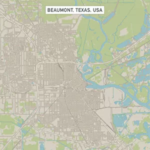
Background imageCity Map Collection: Beaumont Texas US City Street Map

Beaumont Texas US City Street Map
Vector Illustration of a City Street Map of Beaumont, Texas, USA. Scale 1:60, 000. All source data is in the public domain. U.S

Background imageCity Map Collection: Midland Texas US City Street Map

Midland Texas US City Street Map
Vector Illustration of a City Street Map of Midland, Texas, USA. Scale 1:60, 000. All source data is in the public domain. U.S

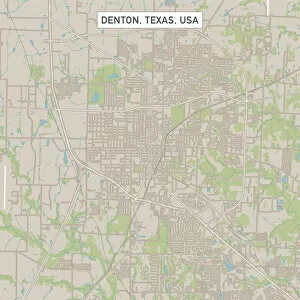
Background imageCity Map Collection: Denton Texas US City Street Map

Denton Texas US City Street Map
Vector Illustration of a City Street Map of Denton, Texas, USA. Scale 1:60, 000. All source data is in the public domain. U.S

Background imageCity Map Collection: College Station Texas US City Street Map

College Station Texas US City Street Map
Vector Illustration of a City Street Map of College Station, Texas, USA. Scale 1:60, 000. All source data is in the public domain. U.S

Background imageCity Map Collection: Pearland Texas US City Street Map

Pearland Texas US City Street Map
Vector Illustration of a City Street Map of Pearland, Texas, USA. Scale 1:60, 000. All source data is in the public domain. U.S

Background imageCity Map Collection: Richardson Texas US City Street Map

Richardson Texas US City Street Map
Vector Illustration of a City Street Map of Richardson, Texas, USA. Scale 1:60, 000. All source data is in the public domain. U.S

Background imageCity Map Collection: Sioux City Iowa US City Street Map

Sioux City Iowa US City Street Map
Vector Illustration of a City Street Map of Sioux City, Iowa, USA. Scale 1:60, 000. All source data is in the public domain. U.S

Background imageCity Map Collection: Bellevue Nebraska US City Street Map

Bellevue Nebraska US City Street Map
Vector Illustration of a City Street Map of Bellevue, Nebraska, USA. Scale 1:60, 000. All source data is in the public domain. U.S

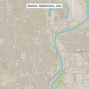
Background imageCity Map Collection: Omaha Nebraska US City Street Map

Omaha Nebraska US City Street Map
Vector Illustration of a City Street Map of Omaha, Nebraska, USA. Scale 1:60, 000. All source data is in the public domain. U.S

Background imageCity Map Collection: Fort Smith Arkansas US City Street Map

Fort Smith Arkansas US City Street Map
Vector Illustration of a City Street Map of Fort Smith, Arkansas, USA. Scale 1:60, 000. All source data is in the public domain. U.S

Background imageCity Map Collection: Fayetteville Arkansas US City Street Map

Fayetteville Arkansas US City Street Map
Vector Illustration of a City Street Map of Fayetteville, Arkansas, USA. Scale 1:60, 000. All source data is in the public domain. U.S

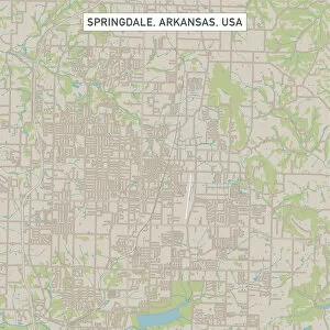
Background imageCity Map Collection: Springdale Arkansas US City Street Map

Springdale Arkansas US City Street Map
Vector Illustration of a City Street Map of Springdale, Arkansas, USA. Scale 1:60, 000. All source data is in the public domain. U.S

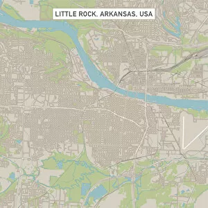
Background imageCity Map Collection: Little Rock Arkansas US City Street Map

Little Rock Arkansas US City Street Map
Vector Illustration of a City Street Map of Little Rock, Arkansas, USA. Scale 1:60, 000. All source data is in the public domain. U.S

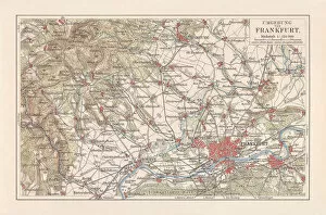
Background imageCity Map Collection: Map of Frankfurt / Main and surroundings, Hesse, Germany, lithograph, published 1897

Map of Frankfurt / Main and surroundings, Hesse, Germany, lithograph, published 1897
Map of Frankfurt am Main and surroundings in Hesse, Germany. Lithograph, published in 1897

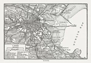
Background imageCity Map Collection: City map of Dublin, Ireland, wood engraving, published in 1897

City map of Dublin, Ireland, wood engraving, published in 1897
City map of Dublin - capital of and largest city in Ireland. Wood engraving, published in 1897

Background imageCity Map Collection: Riverside California US City Street Map

Riverside California US City Street Map
Vector Illustration of a City Street Map of Riverside, California, USA. Scale 1:60, 000. All source data is in the public domain. U.S

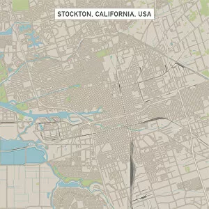
Background imageCity Map Collection: Stockton California US City Street Map

Stockton California US City Street Map
Vector Illustration of a City Street Map of Stockton, California, USA. Scale 1:60, 000. All source data is in the public domain. U.S

Background imageCity Map Collection: Anaheim California US City Street Map

Anaheim California US City Street Map
Vector Illustration of a City Street Map of Anaheim, California, USA. Scale 1:60, 000. All source data is in the public domain. U.S

Background imageCity Map Collection: Bakersfield California US City Street Map

Bakersfield California US City Street Map
Vector Illustration of a City Street Map of Bakersfield, California, USA. Scale 1:60, 000. All source data is in the public domain. U.S

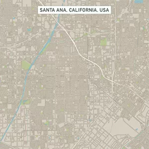
Background imageCity Map Collection: Santa Ana California US City Street Map

Santa Ana California US City Street Map
Vector Illustration of a City Street Map of Santa Ana, California, USA. Scale 1:60, 000. All source data is in the public domain. U.S

Background imageCity Map Collection: Oxnard California US City Street Map

Oxnard California US City Street Map
Vector Illustration of a City Street Map of Oxnard, California, USA. Scale 1:60, 000. All source data is in the public domain. U.S

Background imageCity Map Collection: Fremont California US City Street Map

Fremont California US City Street Map
Vector Illustration of a City Street Map of Fremont, California, USA. Scale 1:60, 000. All source data is in the public domain. U.S

Background imageCity Map Collection: Fontana California US City Street Map

Fontana California US City Street Map
Vector Illustration of a City Street Map of Fontana, California, USA. Scale 1:60, 000. All source data is in the public domain. U.S

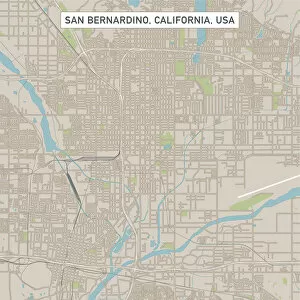
Background imageCity Map Collection: San Bernardino California US City Street Map

San Bernardino California US City Street Map
Vector Illustration of a City Street Map of San Bernardino, California, USA. Scale 1:60, 000. All source data is in the public domain. U.S

Background imageCity Map Collection: Chula Vista California US City Street Map

Chula Vista California US City Street Map
Vector Illustration of a City Street Map of Chula Vista, California, USA. Scale 1:60, 000. All source data is in the public domain. U.S

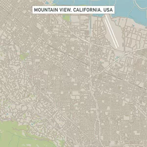
Background imageCity Map Collection: Mountain View California US City Street Map

Mountain View California US City Street Map
Vector Illustration of a City Street Map of Mountain View, California, USA. Scale 1:60, 000. All source data is in the public domain. U.S

Background imageCity Map Collection: Cupertino California US City Street Map

Cupertino California US City Street Map
Vector Illustration of a City Street Map of Cupertino, California, USA. Scale 1:60, 000. All source data is in the public domain. U.S

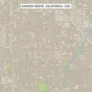
Background imageCity Map Collection: Garden Grove California US City Street Map

Garden Grove California US City Street Map
Vector Illustration of a City Street Map of Garden Grove, California, USA. Scale 1:60, 000. All source data is in the public domain. U.S

Background imageCity Map Collection: Huntington Beach California US City Street Map

Huntington Beach California US City Street Map
Vector Illustration of a City Street Map of Huntington Beach, California, USA. Scale 1:60, 000. All source data is in the public domain. U.S

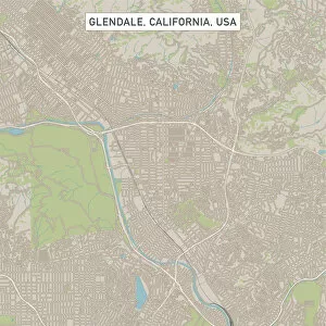
Background imageCity Map Collection: Glendale California US City Street Map

Glendale California US City Street Map
Vector Illustration of a City Street Map of Glendale, California, USA. Scale 1:60, 000. All source data is in the public domain. U.S

Background imageCity Map Collection: Rancho Cucamonga California US City Street Map

Rancho Cucamonga California US City Street Map
Vector Illustration of a City Street Map of Rancho Cucamonga, California, USA. Scale 1:60, 000. All source data is in the public domain. U.S

Background imageCity Map Collection: Santa Rosa California US City Street Map

Santa Rosa California US City Street Map
Vector Illustration of a City Street Map of Santa Rosa, California, USA. Scale 1:60, 000. All source data is in the public domain. U.S

Background imageCity Map Collection: Ontario California US City Street Map

Ontario California US City Street Map
Vector Illustration of a City Street Map of Ontario, California, USA. Scale 1:60, 000. All source data is in the public domain. U.S

Background imageCity Map Collection: Moreno Valley California US City Street Map

Moreno Valley California US City Street Map
Vector Illustration of a City Street Map of Moreno Valley, California, USA. Scale 1:60, 000. All source data is in the public domain. U.S

Background imageCity Map Collection: Oceanside California US City Street Map

Oceanside California US City Street Map
Vector Illustration of a City Street Map of Oceanside, California, USA. Scale 1:60, 000. All source data is in the public domain. U.S

Background imageCity Map Collection: Elk Grove California US City Street Map

Elk Grove California US City Street Map
Vector Illustration of a City Street Map of Elk Grove, California, USA. Scale 1:60, 000. All source data is in the public domain. U.S

Background imageCity Map Collection: Menlo Park California US City Street Map

Menlo Park California US City Street Map
Vector Illustration of a City Street Map of Menlo Park, California, USA. Scale 1:60, 000. All source data is in the public domain. U.S

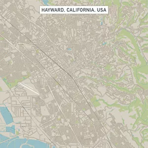
Background imageCity Map Collection: Hayward California US City Street Map

Hayward California US City Street Map
Vector Illustration of a City Street Map of Hayward, California, USA. Scale 1:60, 000. All source data is in the public domain. U.S

Background imageCity Map Collection: Sunnyvale California US City Street Map

Sunnyvale California US City Street Map
Vector Illustration of a City Street Map of Sunnyvale, California, USA. Scale 1:60, 000. All source data is in the public domain. U.S

Background imageCity Map Collection: Escondido California US City Street Map

Escondido California US City Street Map
Vector Illustration of a City Street Map of Escondido, California, USA. Scale 1:60, 000. All source data is in the public domain. U.S

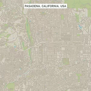
Background imageCity Map Collection: Pasadena California US City Street Map

Pasadena California US City Street Map
Vector Illustration of a City Street Map of Pasadena, California, USA. Scale 1:60, 000. All source data is in the public domain. U.S

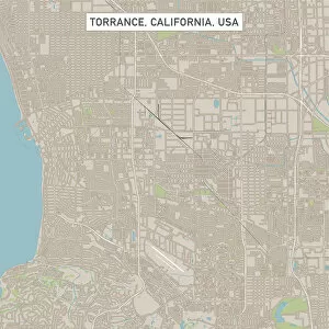
Background imageCity Map Collection: Torrance California US City Street Map

Torrance California US City Street Map
Vector Illustration of a City Street Map of Torrance, California, USA. Scale 1:60, 000. All source data is in the public domain. U.S

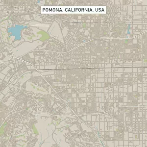
Background imageCity Map Collection: Pomona California US City Street Map

Pomona California US City Street Map
Vector Illustration of a City Street Map of Pomona, California, USA. Scale 1:60, 000. All source data is in the public domain. U.S

Background imageCity Map Collection: Roseville California US City Street Map

Roseville California US City Street Map
Vector Illustration of a City Street Map of Roseville, California, USA. Scale 1:60, 000. All source data is in the public domain. U.S

Background imageCity Map Collection: Orange California US City Street Map

Orange California US City Street Map
Vector Illustration of a City Street Map of Orange, California, USA. Scale 1:60, 000. All source data is in the public domain. U.S


For sale as Licensed Images

Choose your image, Select your licence and Download the media

"Unveiling the Tapestry of Time: A Journey through City Maps" Step back in time and explore the intricate details of ancient cities with these captivating city maps. Jacopo de Barbari's 1500 map of Venice invites you to wander through its labyrinthine canals, capturing the essence of a bygone era. Travel to Heidelberg, Germany, as you gaze upon a historical lithograph from 1897, revealing the city's architectural wonders and rich heritage. Immerse yourself in Florence's artistic splendor with a lithograph published in 1897; every street corner whispers tales of Renaissance grandeur. Paris unfolds before your eyes on an enchanting city map that showcases its iconic landmarks and romantic allure. Delve into Smyrna (Izmir), Turkey's past with a woodcut from 1897, unraveling the layers of history within this vibrant Mediterranean port city. Embark on an expedition to ancient Jerusalem through a copperplate engraving dating back to 1774; witness its sacred sites etched into eternity. Discover Alexandria's mystique as you navigate its streets via an evocative lithograph from 1897; let Cleopatra's legacy guide your exploration. Rome beckons with timeless charm on a lithograph published in 1878; traverse its cobblestone alleys and marvel at majestic ruins standing tall. From Chicago’s bustling metropolis to Hull’s maritime heritage, modern cities leave their mark on our ever-evolving world—maps serving as guides for urban adventurers. Transport yourself centuries ago with Augsburg’s plan—a glimpse into life during the seventeenth century—an invitation to relish history firsthand. Even beneath London’s surface lies intrigue—the depths of sewers unveiled in vivid color lithography from1944—a testament to human ingenuity amidst war-torn times. These remarkable they are windows into different eras—each stroke of ink and lithograph revealing the stories woven into the fabric of our world.