
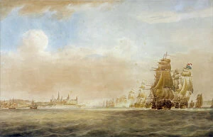
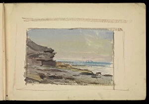
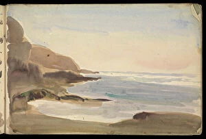
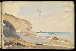
Coast Scene Collection (page 7)
"Captivating Coast Scenes from Around the World: From Aberystwyth to Jost Van Dyke" Discover the breathtaking coast of Aberystwyth, Ceredigion in West Wales


For sale as Licensed Images
Choose your image, Select your licence and Download the media
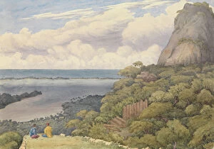
"Captivating Coast Scenes from Around the World: From Aberystwyth to Jost Van Dyke" Discover the breathtaking coast of Aberystwyth, Ceredigion in West Wales, United Kingdom, Europe. Unwind and relax on a hammock hanging on the famous White Bay in Jost Van Dyke, British Virgin Islands, West Indies. Immerse yourself in the beauty of Sanna beaches located in Ardnamurchan Peninsula, Lochaber, Highlands, Scotland, United Kingdom. Step back in time as you explore Dunnottar Castle outside of Stonehaven, Aberdeenshire in Scotland's stunning coastline. Let Mumbles Lighthouse guide your way as you stroll along Mumbles Pier at Gower's enchanting coast near Swansea, Wales. Witness nature's wonders at Worms Head while visiting Rhossili Bay on Gower Peninsula's captivating coastline in Wales. Soak up the sun and enjoy pristine shores at Clearwater Beach in Florida's beautiful coastal landscape within North America. Experience tranquility at Wells-next-the-Sea Beach nestled along North Norfolk's picturesque coastline in England. Be mesmerized by ribbed sand and majestic sand dunes during sunset at Crantock Beach near Newquay, Cornwall Explore Camber Sands' golden beach and its impressive sand dunes near Rye, Eas Sussex, in England’s charming coastal scenery Discover Braye Bay’s hidden gem located on Alderney Island within Channel Islands’ captivating coastal landscapes Enjoy an overlook over White Bay’s turquoise waters while exploring Jost Van Dyke, British Virgin Islands, in Caribbean paradise. Immerse yourself into these diverse coast scenes that showcase nature's beauty across continents.