
Isles Collection (page 9)
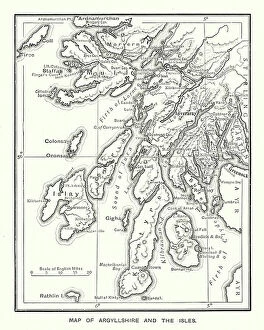
"Exploring the Isles: A Journey through History, Nature, and Resilience" Unfolding history on a WW2 poster: Map of the British Army's strategic isles


For sale as Licensed Images
Choose your image, Select your licence and Download the media
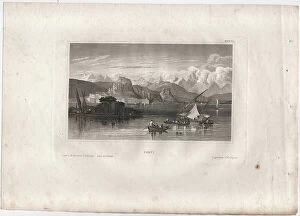
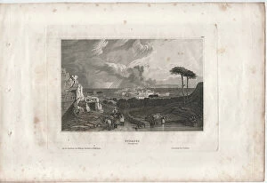
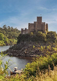
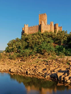
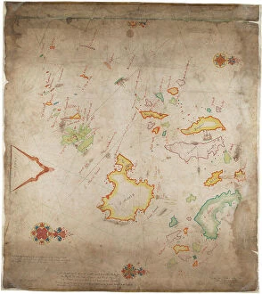
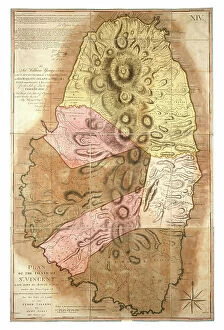
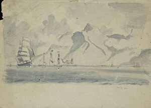
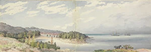
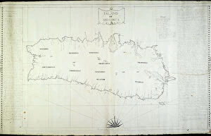
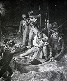
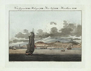
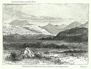
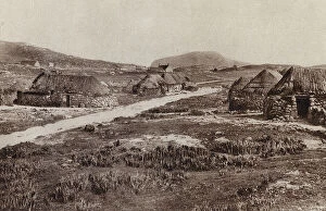
"Exploring the Isles: A Journey through History, Nature, and Resilience" Unfolding history on a WW2 poster: Map of the British Army's strategic isles. Tracing our roots back to Viking Britain with an ancient map of their conquests. Battling against nature's fury at Bishop Rock Lighthouse during a relentless gale. Discovering tranquility amidst the Scilly Isles' breathtaking landscapes and seascapes. Unlocking Earth's secrets with a geological map showcasing the diverse British Islands. Navigating through time with an 18th-century Channel Islands map as our guide. Marveling at the majestic Wolf Rock Lighthouse from above, guarding Cornwall's coast. Immersing in Clan Macdonald's rich heritage that echoes across these storied isles. Reflecting on sacrifice and duty through a poignant WWI poster - "Is your home here? Defend it. " Stepping into Tresco Abbey's old arches, where whispers of Cornwall's past still linger. Witnessing resilience personified at Bishop Rock Lighthouse amidst the Isles of Scilly. Embracing coastal serenity as domestic cattle graze peacefully on Isle of Man’s Bride. Embark on this captivating journey through these remarkable isles; each holds its own tale waiting to be discovered – tales etched by war, shaped by Vikings, guarded by lighthouses, and nurtured by nature’s beauty.