
Settlements Collection
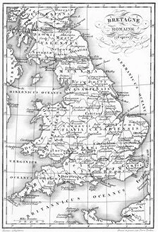
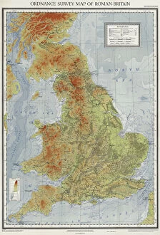
"Exploring the Rich Tapestry of Settlements: From Ancient Rome to Modern Marvels" Unveiling the secrets of Roman Britain through a captivating map


For sale as Licensed Images
Choose your image, Select your licence and Download the media
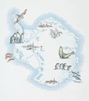
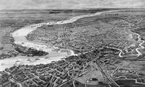
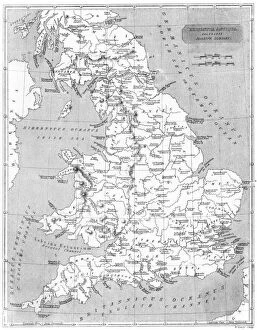
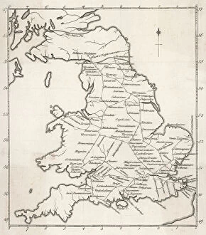
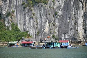
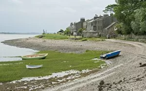
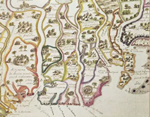
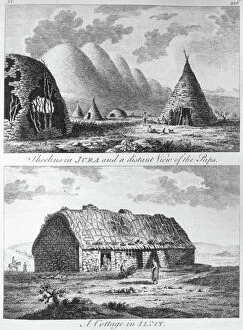
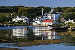
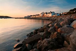
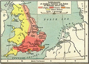
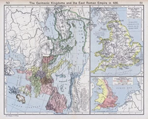
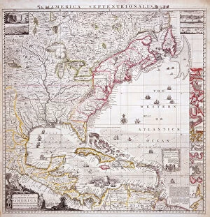
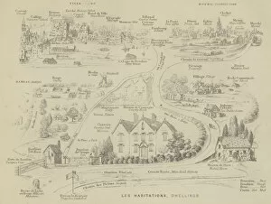
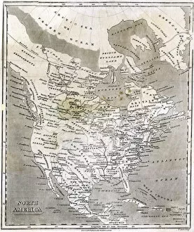
"Exploring the Rich Tapestry of Settlements: From Ancient Rome to Modern Marvels" Unveiling the secrets of Roman Britain through a captivating map, showcasing the sprawling settlements that once thrived across this historic land. A whimsical blend of nature and civilization unfolds on a unique map, as Antarctica becomes home to an enchanting array of sea gulls, penguins, elephant seals, shrimp, and even buildings. Tracing the footsteps of ancient Romans with a fascinating stations map that highlights their strategic settlements throughout Britannia. Basking in the golden hues of sunset at Instow village in North Devon, England; where charming houses overlook a picturesque harbor and stand witness to centuries-old settlement traditions. The only community along the UK's shoreline comes alive as boats dot the coastline while quaint houses proudly represent generations of coastal settlement heritage. Reliving history through Shanghai's international settlements in 1932; a glimpse into an era when cultures converged and vibrant communities flourished amidst towering skyscrapers. Embarking on an extraordinary journey to Vietnam's Halong Bay – where floating villages defy convention by creating thriving settlements atop tranquil waters against breathtaking limestone cliffs. Peering into Italy's past with intricate details from the Peutinger Map copy; revealing ancient roads connecting towns and highlighting significant settlements that shaped its rich history. Capturing Clitheroe Castle's majestic view over town towards lush farmland and Pendle Hill - offering glimpses into how harmonious coexistence between rural landscapes and urban they are be achieved. Discovering Jura Island’s hidden treasures - from Jura Hotel to Jura Distillery, Lodge, Cooperage, Stores, and Hall - all nestled within this coastal village’s quaint charm; embodying both historical significance and modern-day settlement allure.