
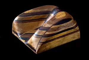
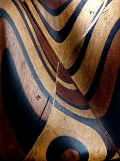
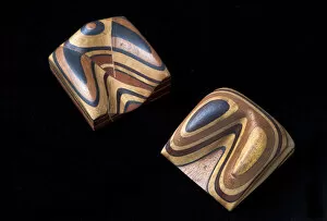
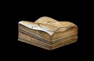
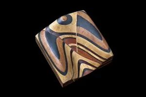
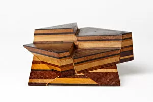
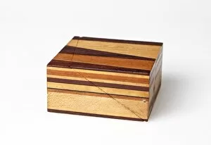
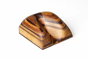
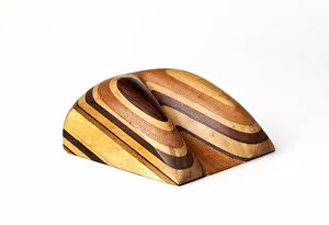
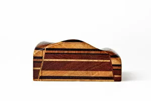
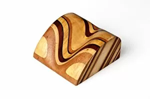
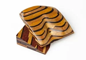
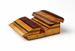
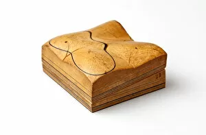
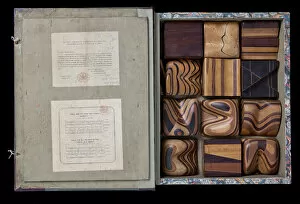
Strata Collection (#6)

"Unveiling Earth's Layers: Exploring the Marvels of Strata" Discovering the Blueprint

Background imageStrata Collection: Picture No. 11981487

Picture No. 11981487
Welcombe Beach - Sunset - Devon - UK Date:

Background imageStrata Collection: Steps of limestone strata make a waterfall on the Rio Arazas, upper Ordesa Valley

Steps of limestone strata make a waterfall on the Rio Arazas, upper Ordesa Valley, Ordesa National Park, Pyrenees, Aragon, Spain, Europe

Background imageStrata Collection: Cornish rock face

Cornish rock face
Close up of a Cornish rock face. circa 1946

Background imageStrata Collection: Weathered Granite, Mourne Mountains

Weathered Granite, Mourne Mountains - a view of exposed Granite strata on a hillside (see WAG 583). (Location: Northern Ireland; County Down; Mournes). Date: circa early 1900s

Background imageStrata Collection: Lias Shales at Portrush Indurated By Dykes

Lias Shales at Portrush Indurated By Dykes - a side view of an escarpment showing strata alignment. (Location: Northern Ireland; County Antrim; Portrush). Date: circa early 1900s

Background imageStrata Collection: Magheralin, Moira, Boulder Clay Overlying Indurated Chalk

Magheralin, Moira, Boulder Clay Overlying Indurated Chalk - a ground level view of the rock strata with people in the foreground and horse and trap to the rear

Background imageStrata Collection: Chalk Capped By Boulder Clay, Magheralin Quarry, Moira

Chalk Capped By Boulder Clay, Magheralin Quarry, Moira - a view of the quarry and exposed rock strata. (Location: Northern Ireland; County Down; Moira). Date: circa early 1900s

Background imageStrata Collection: Contorted Schists, Rossapena, North West Donegal

Contorted Schists, Rossapena, North West Donegal - a close in view of whirled rock strata. (Location: Republic of Ireland; County Donegal; Rosapenna). Date: circa early 1900s

Background imageStrata Collection: Indurated Chalk Capped By the Plateau Basalts, Whitewell Qua

Indurated Chalk Capped By the Plateau Basalts, Whitewell Quarry, Belfast - a close in view of rock strata. (Location: Northern Ireland: County Antrim: Belfast). Date: circa early 1900s

Background imageStrata Collection: Transverse Dykes Or Sills in Triassic Sandstone, Scrabo

Transverse Dykes Or Sills in Triassic Sandstone, Scrabo. Newtownards - a view of strata in an exposed section of hillside. (Location: Northern Ireland; County Down; Newtownards)

Background imageStrata Collection: Thomas Sopwith (1803-1879) & geological models

Thomas Sopwith (1803-1879) & geological models
Thomas Sopwith (1803 - 1879) was an eminent geologist and civil engineer who pioneered methods of representing geological features

Background imageStrata Collection: Sopwith Model XII: Denudation of mineral veins

Sopwith Model XII: Denudation of mineral veins
This model shows the influence of surface denudation and faulting on inclined strata, with increased complexity to the situation in Model VII

Background imageStrata Collection: Sopwith Model VII: Surface denudation of veins

Sopwith Model VII: Surface denudation of veins
This model shows the influence of surface denudation and faulting on otherwise flat, horizontal strata. The discontinuity between the beds as viewed at the surface can be seen

Background imageStrata Collection: Sopwith Models: denudation & faulting

Sopwith Models: denudation & faulting
Models showing the effect of denudation and faulting on how rock strata appear at the surface. Thomas Sopwith (1803 - 1879)

Background imageStrata Collection: Sopwith Model II: Coal strata near Newcastle

Sopwith Model II: Coal strata near Newcastle
Unlike the models of generic situations this representation of coal strata was specific to a particular surveyed location in England showing several thin, and mostly hidden, coal seams

Background imageStrata Collection: Sopwith Model VII: Denudation of mineral veins

Sopwith Model VII: Denudation of mineral veins
This model shows the influence of surface denudation and faulting on otherwise flat, horizontal strata. The discontinuity between the beds as viewed at the surface can be seen

Background imageStrata Collection: Sopwith Model VI: Intersecting mineral veins

Sopwith Model VI: Intersecting mineral veins
This Model, rather than representing the strata as they would appear at the surface, shows how a seam of coal can be displaced in the subsurface by various modes of faulting

Background imageStrata Collection: Sopwith Model XI: Vertical intersecting veins

Sopwith Model XI: Vertical intersecting veins
This model, when separated, shows the complex interface between faulted strata of rocks. Thomas Sopwith (1803 - 1879) was an eminent geologist

Background imageStrata Collection: Sopwith Model XII: Mineral vein denudation

Sopwith Model XII: Mineral vein denudation
This model shows the influence of surface denudation and faulting on inclined strata, with increased complexity to the situation in Model VII

Background imageStrata Collection: Sopwith Model VIII: Overcutting of strata

Sopwith Model VIII: Overcutting of strata
This model shows overcut strata: when the layers of rock are inclined at a gentler angle than the eroded slope, the resulting vee pattern points uphill

Background imageStrata Collection: Sopwith Model VII: Surface denudation

Sopwith Model VII: Surface denudation
This model shows the influence of surface denudation and faulting on otherwise flat, horizontal strata. The discontinuity between the beds as viewed at the surface can be seen

Background imageStrata Collection: Sopwith Model X: Denuded basset of strata

Sopwith Model X: Denuded basset of strata
This model shows undercut strata: when the layers of rock are inclined at a steeper angle than the eroded slope, the resulting vee pattern points downhill

Background imageStrata Collection: Sopwith Model V: Dislocations of coal strata

Sopwith Model V: Dislocations of coal strata
This model shows that while very little coal may appear at ground level, coal seams (subject to faults and dislocations) can be found below the ground

Background imageStrata Collection: Sopwith Model IV: Fallacious coal indications

Sopwith Model IV: Fallacious coal indications
This model depicts the scenario where from the surface an abundance of coal appears to exist, but there is actually very little quantity below

Background imageStrata Collection: Sopwith Model III: Dislocation of strata

Sopwith Model III: Dislocation of strata
This model represents the side of a valley of denudation, with undisturbed horizontal beds of sedimentary rock when fully assembled

Background imageStrata Collection: Sopwith Model I: Stratified rocks / denudation

Sopwith Model I: Stratified rocks / denudation
Black lines in this model represent coal seams, between lighter shales and sandstones. When separated the lower section shows a gently inclined valley floor

Background imageStrata Collection: Sopwith Model II: Coal strata nr Newcastle

Sopwith Model II: Coal strata nr Newcastle
Unlike the models of generic situations this representation of coal strata was specific to a particular surveyed location in England showing several thin, and mostly hidden, coal seams

Background imageStrata Collection: Cover of Thomas Sopwiths Geological Model Set

Cover of Thomas Sopwiths Geological Model Set
Thomas Sopwith (1803 - 1879) was an eminent geologist and civil engineer who pioneered methods of representing geological features

Background imageStrata Collection: Thomas Sopwiths Geological Model Set

Thomas Sopwiths Geological Model Set
Thomas Sopwith (1803 - 1879) was an eminent geologist and civil engineer who pioneered methods of representing geological features

Background imageStrata Collection: Mammoth Hot Springs Terraces in the Early Morning, Mammoth Hot Springs, Yellowstone National Park

Mammoth Hot Springs Terraces in the Early Morning, Mammoth Hot Springs, Yellowstone National Park, Wyoming, USA

Background imageStrata Collection: Terraces, Mammoth Hot Springs; Yellowstone National Park; Wyoming; USA

Terraces, Mammoth Hot Springs; Yellowstone National Park; Wyoming; USA
Terraces, Mammoth Hot Springs, Yellowstone National Park, Wyoming, USA

Background imageStrata Collection: Mammoth Hot Springs Terracaes, Yellowstone National Park, Wyoming, USA

Mammoth Hot Springs Terracaes, Yellowstone National Park, Wyoming, USA

Background imageStrata Collection: Zion National Park, Utah. USA. Great White Throne above grasses

Zion National Park, Utah. USA. Great White Throne above grasses. View from Virgin River flood plain in Zion Canyon

Background imageStrata Collection: Zion National Park, Utah. USA. Towers of the Virgin in winter. Zion Canyon

Zion National Park, Utah. USA. Towers of the Virgin in winter. Zion Canyon

Background imageStrata Collection: Zion National Park, Utah. USA. Light of winter sunset on East Temple. Zion Canyon

Zion National Park, Utah. USA. Light of winter sunset on East Temple. Zion Canyon

Background imageStrata Collection: Zion National Park, Utah. USA. Timber Top Mountain at sunset in winter. Kolob Canyons

Zion National Park, Utah. USA. Timber Top Mountain at sunset in winter. Kolob Canyons

Background imageStrata Collection: Temple of Sinawava Waterfall Red Rock Wall Zion Canyon National Park Utah Southwest

Temple of Sinawava Waterfall Red Rock Wall Zion Canyon National Park Utah Southwest
Temple of Sinawava Waterfall, Red Rock Wall, Zion Canyon National Park, Utah

Background imageStrata Collection: Bentonite Hills, Hanksville, Capitol Reef National Park, Utah, USA

Bentonite Hills, Hanksville, Capitol Reef National Park, Utah, USA

Background imageStrata Collection: Zion National Park, Utah. USA. Snow on cliffs & conifers. Zion Canyon

Zion National Park, Utah. USA. Snow on cliffs & conifers. Zion Canyon
Zion National Park, Utah. USA. Snow on cliffs and conifers. Zion Canyon

Background imageStrata Collection: USA, Utah, Zion National Park. Pine tree sihouetted against rock strata. Credit as

USA, Utah, Zion National Park. Pine tree sihouetted against rock strata. Credit as
USA, Utah, Zion National Park. Pine tree silhouetted against rock strata. Credit as: Bill Young / Jaynes Gallery / DanitaDelimont

Background imageStrata Collection: Painted Hills, sunset, John Day Fossil Beds National Monument, Mitchell, Oregon, USA

Painted Hills, sunset, John Day Fossil Beds National Monument, Mitchell, Oregon, USA
Painted Hills at Sunset from the Overlook John Day Fossil Beds National Monument, Mitchell, Oregon, USA

Background imageStrata Collection: Painted Hills from the Heights, John Day Fossil Beds National Monument, Mitchell

Painted Hills from the Heights, John Day Fossil Beds National Monument, Mitchell, Oregon, USA

Background imageStrata Collection: Painted Hills, John Day Fossil Beds National Monument; Mitchell; Oregon; USA

Painted Hills, John Day Fossil Beds National Monument; Mitchell; Oregon; USA
Painted Hills, John Day Fossil Beds National Monument, Mitchell, Oregon, USA

Background imageStrata Collection: Travertine Hot Springs, Bridgeport, California USA

Travertine Hot Springs, Bridgeport, California USA
Travertine Hot Springs, Bridgeport, California, USA

Background imageStrata Collection: Sunset over the Sierra Nevada from Mono Lake, Mono Basin National Scenic Area, California

Sunset over the Sierra Nevada from Mono Lake, Mono Basin National Scenic Area, California, USA

Background imageStrata Collection: Manly Beacon at Dawn, Zabriskie Point, Death Valley National Park, California, USA

Manly Beacon at Dawn, Zabriskie Point, Death Valley National Park, California, USA

Background imageStrata Collection: Sunrise, Bright Angel Point, North Rim, Grand Canyon National Park, Arizona, USA

Sunrise, Bright Angel Point, North Rim, Grand Canyon National Park, Arizona, USA

Background imageStrata Collection: USA, Arizona, Grand Canyon. The Colorado River winding through the Grand Canyon

USA, Arizona, Grand Canyon. The Colorado River winding through the Grand Canyon


For sale as Licensed Images

Choose your image, Select your licence and Download the media

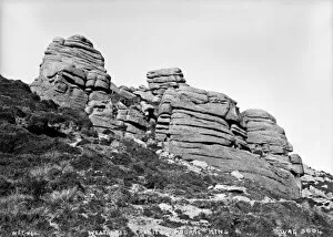
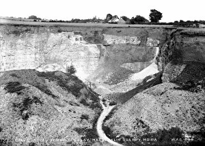
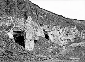
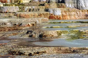
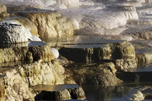
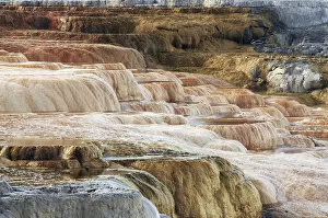
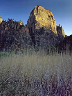
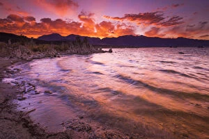
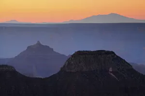
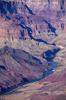
"Unveiling Earth's Layers: Exploring the Marvels of Strata" Discovering the Blueprint: William Smith Geological Map takes us back to the roots of understanding our planet's strata formations. Time Travel through Rocks: Delving into the 19th-century Geological Strata reveals a fascinating glimpse into Earth's ancient history. England Unearthed: The 1838 Geological Map by Mantell showcases the diverse geological wonders scattered across England, from The Wash to Hunstanton Cliffs. Nature's Artistry in Arizona: Behold The Wave, an awe-inspiring masterpiece carved naturally in vibrant red and yellow Navajo sandstone at Vermilion Cliffs National Monument. A Tale of Continuity and Change: Witness a captivating geological unconformity on the river Jed, where time seems to pause and layers intertwine mysteriously. Pioneering Geology: Step back in time with Britain's first-ever geological map from 1815, offering insights into the nation's rich geological heritage. Oxfordshire Revealed: Explore every nook and cranny as you navigate through the intricate details of the Geological Map of Oxfordshire, uncovering hidden stories beneath our feet. Peering Into Earth’s Depths: Embark on a visual journey through time with Mantell’s detailed 1838 Geological Strata Section, unraveling eons-old secrets layer by layer. Buckland’s Cross-Section Chronicles: Immerse yourself in Buckland’s geology cross-section from 1836, revealing nature’s complex tapestry etched deep within our planet's core. Sunset Serenade at Honeycomb Rock: Bask in nature’s symphony as Elgol’s Honeycomb Rock bids farewell to another day amidst Skye Island's breathtaking Inner Hebrides landscape. Majestic White Guardians - Seven Sisters Chalk Cliffs.