
Topographic Collection (#2)
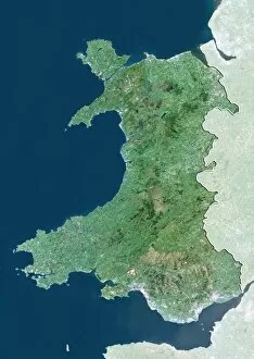
"Exploring the World's Topography: From Scotland to Mars and Beyond" Discover the stunning topographic features of Scotland


For sale as Licensed Images
Choose your image, Select your licence and Download the media
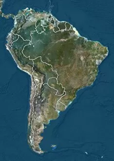
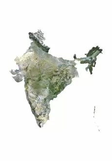
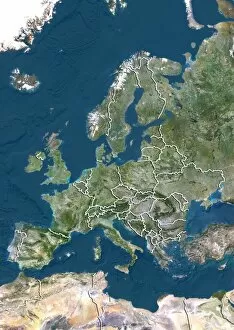
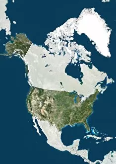
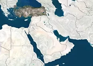
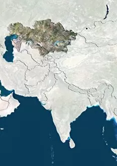
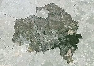
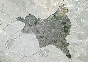
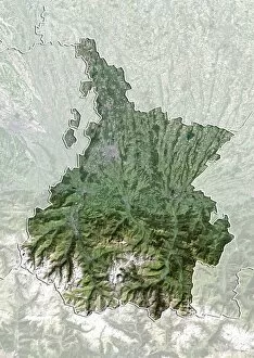
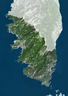
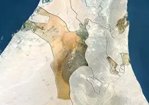
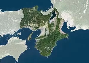
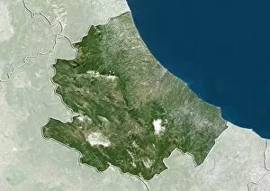
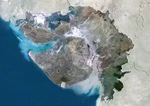
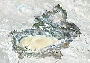
"Exploring the World's Topography: From Scotland to Mars and Beyond" Discover the stunning topographic features of Scotland, UK through a mesmerizing satellite image that unveils its rugged landscapes and breathtaking beauty. Embark on an extraordinary journey across Earth with a detailed topographic and bathymetric map, revealing both landforms and underwater terrain in unparalleled detail. Unleash your curiosity as you delve into the mysteries of Mars, where composite satellite images showcase its intriguing topography, offering glimpses into an alien world. Dive into Australia's diverse terrain with a comprehensive topographic map that unravels its vast deserts, lush rainforests, and iconic landmarks from coast to coast. Immerse yourself in Africa's rich tapestry of geographical wonders through a captivating topographic map that showcases its majestic mountains, expansive savannas, and winding rivers. Take a step back in time with a vintage lithograph city map of Aachen, Germany published in 1897 - witness how urban landscapes have evolved over centuries while preserving their unique charm. Marvel at the intricate patterns etched across the Middle East as captured by an awe-inspiring satellite image; explore ancient cities juxtaposed against arid deserts or fertile valleys. Return to Earth once again to uncover hidden depths beneath our oceans using an all-encompassing topographic and bathymetric map - witness the secrets held within our planet's watery realms. Venture beyond our own celestial home as you navigate through Mars' enigmatic landscape via a detailed topographical map derived from cutting-edge satellite imagery - unlocking new frontiers for exploration. Travel back in time yet again with a lithograph published in 1897 depicting the magnificent European Alps - trace mountaineering routes taken by pioneers who dared conquer these towering peaks.