Topography Collection (#5)

"Exploring the World's Varied Topography

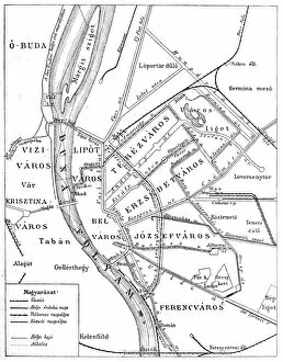
Background imageTopography Collection: Budapest city map

Budapest city map
Illustration of a Budapest city map

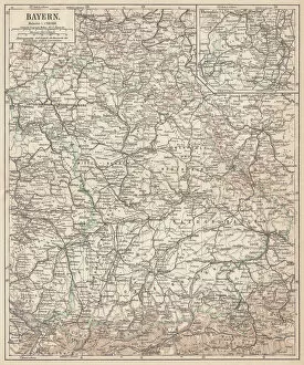
Background imageTopography Collection: German federal state of Bavaria, lithograph, published in 1874

German federal state of Bavaria, lithograph, published in 1874
Map of German federal state of Bavaria. Lithograph, published in 1874

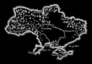
Background imageTopography Collection: Antique Ukraine Map

Antique Ukraine Map
Ukraine Map, - Antique style. Includes mountains and water bodies. High detail - vector illustration

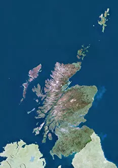
Background imageTopography Collection: Scotland with Shetland, United Kingdom, True Colour Satellite Image

Scotland with Shetland, United Kingdom, True Colour Satellite Image
Satellite view of Scotland including Shetland, United Kingdom. This image was compiled from data acquired by LANDSAT 5 & 7 satellites

Background imageTopography Collection: Snowcapped East Beckwith Mountain In The Background Reflected In Lost Lake Slough; Colorado

Snowcapped East Beckwith Mountain In The Background Reflected In Lost Lake Slough; Colorado, United States Of America

Background imageTopography Collection: Silhouette Of Fishermen In Dugout Canoe Leaving Cape Maclear In The Evening, Lake Malawi; Malawi

Silhouette Of Fishermen In Dugout Canoe Leaving Cape Maclear In The Evening, Lake Malawi; Malawi

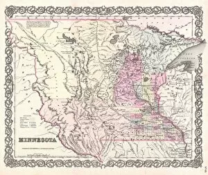
Background imageTopography Collection: 1855, Colton Map of Minnesota, topography, cartography, geography, land, illustration

1855, Colton Map of Minnesota, topography, cartography, geography, land, illustration
1855, Colton Map of Minnesota

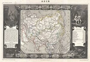
Background imageTopography Collection: 1852, Levasseur Map of Asia, topography, cartography, geography, land, illustration

1852, Levasseur Map of Asia, topography, cartography, geography, land, illustration
1852, Levasseur Map of Asia

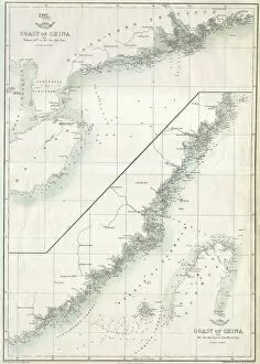
Background imageTopography Collection: 1863, Cassells Dispatch Atlas Map of Taiwan, Formosa and the Hainan Coast of China

1863, Cassells Dispatch Atlas Map of Taiwan, Formosa and the Hainan Coast of China

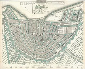
Background imageTopography Collection: 1835, S. D. U. K. City Map or Plan of Amsterdam, The Netherlands, topography, cartography

1835, S. D. U. K. City Map or Plan of Amsterdam, The Netherlands, topography, cartography
1835, S.D.U.K. City Map or Plan of Amsterdam, The Netherlands

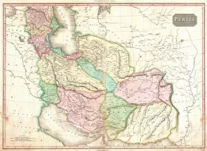
Background imageTopography Collection: 1818, Pinkerton Map of Persia, Iran, Afghanistan, John Pinkerton, 1758 - 1826, Scottish

1818, Pinkerton Map of Persia, Iran, Afghanistan, John Pinkerton, 1758 - 1826, Scottish antiquarian, cartographer, UK

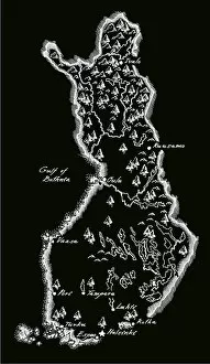
Background imageTopography Collection: Antique Finland Map

Antique Finland Map
Finland Map, - Antique style. Includes mountains and water bodies. High detail - vector illustration

Background imageTopography Collection: Water Pours Over Natural Falls After A Heavy Rain; Oklahoma, United States Of America

Water Pours Over Natural Falls After A Heavy Rain; Oklahoma, United States Of America

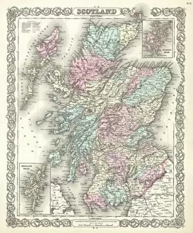
Background imageTopography Collection: 1855, Colton Map of Scotland, topography, cartography, geography, land, illustration

1855, Colton Map of Scotland, topography, cartography, geography, land, illustration
1855, Colton Map of Scotland

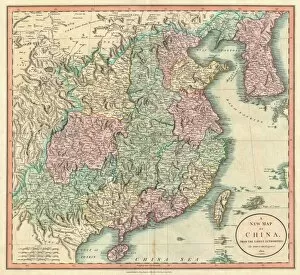
Background imageTopography Collection: 1801, Cary Map of China and Korea, John Cary, 1754 - 1835, English cartographer, topography

1801, Cary Map of China and Korea, John Cary, 1754 - 1835, English cartographer, topography
1801, Cary Map of China and Korea, John Cary, 1754 - 1835, English cartographer

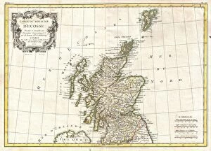
Background imageTopography Collection: 1772, Bonne Map of Scotland, Rigobert Bonne 1727 - 1794, one of the most important

1772, Bonne Map of Scotland, Rigobert Bonne 1727 - 1794, one of the most important cartographers of the late 18th century

Background imageTopography Collection: 1864, Garnier Map of Pairs, France w-Monuments, topography, cartography, geography

1864, Garnier Map of Pairs, France w-Monuments, topography, cartography, geography
1864, Garnier Map of Pairs, France w-Monuments

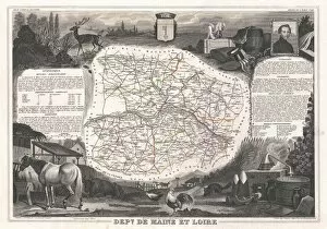
Background imageTopography Collection: 1852, Levasseur Map of the Department De Maine et Loire, France, topography, cartography

1852, Levasseur Map of the Department De Maine et Loire, France, topography, cartography
1852, Levasseur Map of the Department De Maine et Loire, France

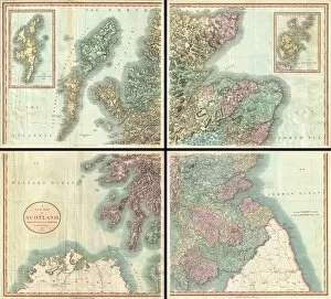
Background imageTopography Collection: 1801, Cary Map of Scotland, 4 Sheets, John Cary, 1754 - 1835, English cartographer

1801, Cary Map of Scotland, 4 Sheets, John Cary, 1754 - 1835, English cartographer

Background imageTopography Collection: Wooded landscape, 1790s-1820s. Creator: John White Abbott

Wooded landscape, 1790s-1820s. Creator: John White Abbott
Wooded landscape, 1790s-1820s.

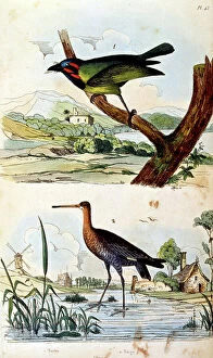
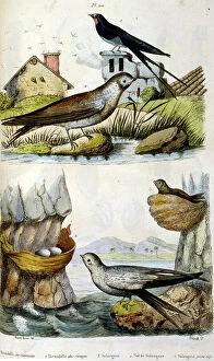
Background imageTopography Collection: French. Coloured illustration. dated circa 1884. depicting river birds

French. Coloured illustration. dated circa 1884. depicting river birds
5306761 French. Coloured illustration. dated circa 1884. depicting river birds; Universal History Archive/UIG

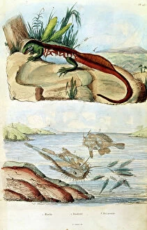
Background imageTopography Collection: French. Coloured illustration. dated circa 1884. depicting an iguana and a deep sea angler fish

French. Coloured illustration. dated circa 1884. depicting an iguana and a deep sea angler fish
5306756 French. Coloured illustration. dated circa 1884. depicting an iguana and a deep sea angler fish; Universal History Archive/UIG

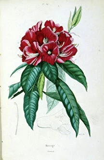
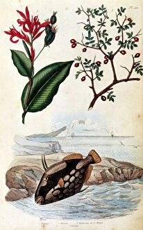
Background imageTopography Collection: French. Coloured illustration. dated circa 1884. depicting red flowers

French. Coloured illustration. dated circa 1884. depicting red flowers
5306742 French. Coloured illustration. dated circa 1884. depicting red flowers; Universal History Archive/UIG

Background imageTopography Collection: French. Coloured illustration. dated circa 1884. depicting a tropical palm with fruit and seeds

French. Coloured illustration. dated circa 1884. depicting a tropical palm with fruit and seeds
5306738 French. Coloured illustration. dated circa 1884. depicting a tropical palm with fruit and seeds.; Universal History Archive/UIG

Background imageTopography Collection: French. Coloured illustration. dated circa 1884. depicting butterflies and an insect

French. Coloured illustration. dated circa 1884. depicting butterflies and an insect
5306735 French. Coloured illustration. dated circa 1884. depicting butterflies and an insect; Universal History Archive/UIG

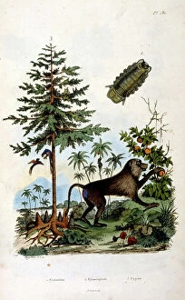
Background imageTopography Collection: illustration. circa 1884. depicting an ape and a tree

illustration. circa 1884. depicting an ape and a tree
5306713 illustration. circa 1884. depicting an ape and a tree; Universal History Archive/UIG

Background imageTopography Collection: illustration. circa 1884.depicting a tropical island with dolphin

illustration. circa 1884.depicting a tropical island with dolphin
5306712 illustration. circa 1884.depicting a tropical island with dolphin; Universal History Archive/UIG

Background imageTopography Collection: Trench map of 7th Division frontage of attack at the Battle of Loos, 1915 (paper)

Trench map of 7th Division frontage of attack at the Battle of Loos, 1915 (paper)
5926810 Trench map of 7th Division frontage of attack at the Battle of Loos, 1915 (paper); National Army Museum, London; (add.info)

Background imageTopography Collection: French. Coloured illustration. dated circa 1884. depicting tropical plants such as bamboo

French. Coloured illustration. dated circa 1884. depicting tropical plants such as bamboo and banana in growth
5306751 French. Coloured illustration. dated circa 1884. depicting tropical plants such as bamboo and banana in growth; Universal History Archive/UIG

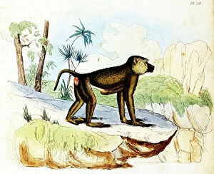
Background imageTopography Collection: illustration. circa 1884.depicting a baboon

illustration. circa 1884.depicting a baboon
5306715 illustration. circa 1884.depicting a baboon; Universal History Archive/UIG

Background imageTopography Collection: Photo Goat neck Silesia, Empress Auguste Viktoria

Photo Goat neck Silesia, Empress Auguste Viktoria
948156 Photo Goat neck Silesia, Empress Auguste Viktoria by German Photographer (20th Century); Private Collection; © Arkivi UG All Rights Reserved

Background imageTopography Collection: French. Coloured illustration. dated circa 1884. depicting river and coastal birds

French. Coloured illustration. dated circa 1884. depicting river and coastal birds
5306758 French. Coloured illustration. dated circa 1884. depicting river and coastal birds; Universal History Archive/UIG

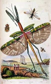
Background imageTopography Collection: French. Coloured illustration. dated circa 1884. depicting various tropical insects including a

French. Coloured illustration. dated circa 1884. depicting various tropical insects including a large dragon fly
5306746 French. Coloured illustration. dated circa 1884. depicting various tropical insects including a large dragon fly; Universal History Archive/UIG

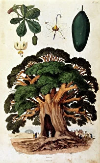
Background imageTopography Collection: illustration. circa 1884.depicting a baobab tree

illustration. circa 1884.depicting a baobab tree
5306721 illustration. circa 1884.depicting a baobab tree.; Universal History Archive/UIG

Background imageTopography Collection: illustration. circa 1884.depicting a tropical parrot fish

illustration. circa 1884.depicting a tropical parrot fish
5306719 illustration. circa 1884.depicting a tropical parrot fish; Universal History Archive/UIG

Background imageTopography Collection: illustration. circa 1884.depicting a frilled-necked lizard

illustration. circa 1884.depicting a frilled-necked lizard
5306717 illustration. circa 1884.depicting a frilled-necked lizard; Universal History Archive/UIG

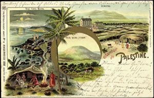
Background imageTopography Collection: Litho Israel, Imperial Journey 1898, Mount Tabor, Jericho

Litho Israel, Imperial Journey 1898, Mount Tabor, Jericho
945479 Litho Israel, Imperial Journey 1898, Mount Tabor, Jericho; Private Collection; © Arkivi UG All Rights Reserved

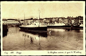
Background imageTopography Collection: Worthing South East, Ferry Brighton leaves (postcard)

Worthing South East, Ferry Brighton leaves (postcard)
951567 Worthing South East, Ferry Brighton leaves (postcard); Private Collection; © Arkivi UG All Rights Reserved

Background imageTopography Collection: French. Coloured illustration. dated circa 1884. depicting a farm horse and an Arab stallion

French. Coloured illustration. dated circa 1884. depicting a farm horse and an Arab stallion
5306765 French. Coloured illustration. dated circa 1884. depicting a farm horse and an Arab stallion; Universal History Archive/UIG

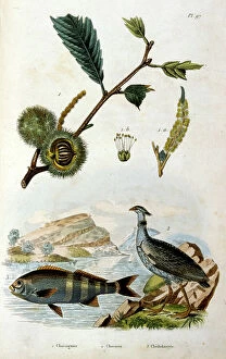
Background imageTopography Collection: French. Coloured illustration. dated circa 1884. depicting a fish a pheasant and some chestnuts

French. Coloured illustration. dated circa 1884. depicting a fish a pheasant and some chestnuts
5306763 French. Coloured illustration. dated circa 1884. depicting a fish a pheasant and some chestnuts; Universal History Archive/UIG

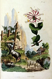
Background imageTopography Collection: French. Coloured illustration. dated circa 1884. depicting Swiss mountain goats

French. Coloured illustration. dated circa 1884. depicting Swiss mountain goats
5306760 French. Coloured illustration. dated circa 1884. depicting Swiss mountain goats; Universal History Archive/UIG

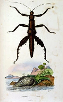
Background imageTopography Collection: French. Coloured illustration. dated circa 1884. depicting a leaf insect (Phylliidae)

French. Coloured illustration. dated circa 1884. depicting a leaf insect (Phylliidae)
5306750 French. Coloured illustration. dated circa 1884. depicting a leaf insect (Phylliidae).; Universal History Archive/UIG

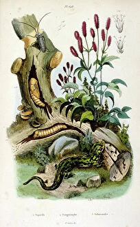
Background imageTopography Collection: French. Coloured illustration. dated circa 1884. depicting earthworms and a salamander

French. Coloured illustration. dated circa 1884. depicting earthworms and a salamander
5306739 French. Coloured illustration. dated circa 1884. depicting earthworms and a salamander; Universal History Archive/UIG

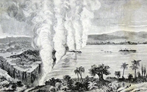
Background imageTopography Collection: Victoria Falls on the Zambesi River

Victoria Falls on the Zambesi River
2602574 Victoria Falls on the Zambesi River; (add.info.: Victoria Falls on the Zambezi River. Frontispiece of 'Missionary Travels and Researches in South Africa', London, 1857)

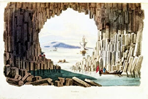
Background imageTopography Collection: French. Coloured illustration. dated circa 1884. depicting The Giant's Causeway

French. Coloured illustration. dated circa 1884. depicting The Giant's Causeway
5306754 French. Coloured illustration. dated circa 1884. depicting The Giant's Causeway.; Universal History Archive/UIG

Background imageTopography Collection: French. Coloured illustration. dated circa 1884. depicting Clerodendrum phlomidis

French. Coloured illustration. dated circa 1884. depicting Clerodendrum phlomidis
5306747 French. Coloured illustration. dated circa 1884. depicting Clerodendrum phlomidis; Universal History Archive/UIG

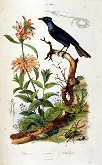
Background imageTopography Collection: French. Coloured illustration. dated circa 1884. depicting Tickell's blue flycatcher

French. Coloured illustration. dated circa 1884. depicting Tickell's blue flycatcher
5306743 French. Coloured illustration. dated circa 1884. depicting Tickell's blue flycatcher; Universal History Archive/UIG

Background imageTopography Collection: French. Coloured illustration. dated circa 1884. depicting a monkey in a tree

French. Coloured illustration. dated circa 1884. depicting a monkey in a tree
5306734 French. Coloured illustration. dated circa 1884. depicting a monkey in a tree.; Universal History Archive/UIG


For sale as Licensed Images

Choose your image, Select your licence and Download the media

"Exploring the World's Varied Topography: From Ancient Greece to Antarctica" Embark on a captivating journey through time and space as we delve into the fascinating realm of topography. This 150 caption takes you across continents, from Cyprus to Africa, Portugal to Wales, and beyond. Let's begin our expedition with a glimpse into history - an intriguing Map of Cyprus published in 1880. Its intricate details transport us back in time, unraveling the island's rich geographical tapestry. Next, we navigate towards Africa where a Political Map unveils the diverse nations that shape this vast continent. The contours and boundaries guide us through its majestic landscapes and vibrant cultures. Venturing westward, we encounter a Map of Portugal which showcases not only its cities but also reveals hidden gems nestled within its topographical wonders. It beckons explorers to uncover its secrets. As we traverse further northwards, three Welsh women dressed in traditional costumes capture our attention. Their attire reflects both their cultural heritage and the unique topography that surrounds them. Turning our gaze towards Scotland, James Craig's 1768 map presents Edinburgh's New Town for the first time. This pioneering plan intertwines urban development with meticulous attention to topographic features – shaping one of Europe's most enchanting cities. Across the Atlantic Ocean lies Plymouth, Massachusetts - Samuel de Champlain’s map from his 1605 expedition guides us through this historic settlement site. The rugged beauty of Plymouth is etched onto this map like a testament to human resilience against nature’s challenges. Our exploration now takes an icy turn as we discover Antarctica adorned with illustrations of sea gulls, penguins, elephant seals, and shrimp amidst towering ice formations. This juxtaposition between wildlife and man-made structures highlights how humanity has left imprints even on Earth’s harshest terrains. The turquoise waters surrounding Providenciales Island in Turks & Caicos come alive on a mural map depicting Grace Bay.