Topography Collection (#8)

"Exploring the World's Varied Topography

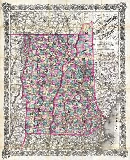
Background imageTopography Collection: 1892 Colton Pocket Map Of Vermont And New Hampshire

1892 Colton Pocket Map Of Vermont And New Hampshire
1892, Colton Pocket Map of Vermont and New Hampshire

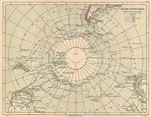
Background imageTopography Collection: 1890 Hachette Map Of Antarctica Topography Cartography

1890 Hachette Map Of Antarctica Topography Cartography
1890, Hachette Map of Antarctica

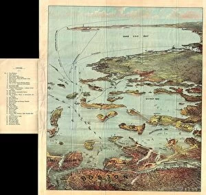
Background imageTopography Collection: 1890 View Map Of Boston Habor From Boston To Cape Cod And Provincetown

1890 View Map Of Boston Habor From Boston To Cape Cod And Provincetown
1890, View Map of Boston Habor from Boston to Cape Cod and Provincetown

Background imageTopography Collection: 1886 Telescopic View And Map Of The Moon Topography

1886 Telescopic View And Map Of The Moon Topography
1886, Telescopic View and Map of the Moon

Background imageTopography Collection: 1888 Topographic Survey Map Of The United States

1888 Topographic Survey Map Of The United States
1888, Topographic Survey Map of the United States

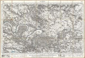
Background imageTopography Collection: 1886 Depot De La Guerre Pocket Map Of Paris And Environs

1886 Depot De La Guerre Pocket Map Of Paris And Environs
1886, Depot de la Guerre Pocket Map of Paris and Environs

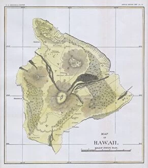
Background imageTopography Collection: 1883 U.S.G.S. Map Of The Island Of Hawaii Topography

1883 U.S.G.S. Map Of The Island Of Hawaii Topography
1883, U.S.G.S. Map of the Island of Hawaii

Background imageTopography Collection: 1884 Drew Pocket Map Of Florida Topography Cartography

1884 Drew Pocket Map Of Florida Topography Cartography
1884, Drew Pocket Map of Florida

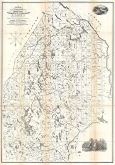
Background imageTopography Collection: 1881 Thomas Sedgwick Steele Map Of Maine Topography

1881 Thomas Sedgwick Steele Map Of Maine Topography
1881, Thomas Sedgwick Steele Map of Maine

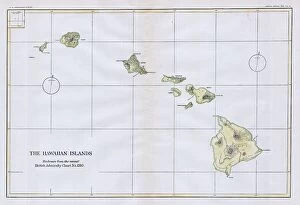
Background imageTopography Collection: 1883 U.S.G.S. Map Of The Hawaiian Islands Topography

1883 U.S.G.S. Map Of The Hawaiian Islands Topography
1883, U.S.G.S. Map of the Hawaiian Islands

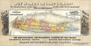
Background imageTopography Collection: 1891 Long Island Railroad Real Estate Map Of Long Island

1891 Long Island Railroad Real Estate Map Of Long Island
1891, Long Island Railroad Real Estate Map of Long Island

Background imageTopography Collection: Guilmin Map Of Paris France Monuments Topography

Guilmin Map Of Paris France Monuments Topography
Guilmin Map of Paris, France, Monuments

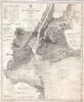
Background imageTopography Collection: 1910 U.S. Coast Survey Nautical Chart Or Map Of New York City And Harbor

1910 U.S. Coast Survey Nautical Chart Or Map Of New York City And Harbor
1910, U.S. Coast Survey Nautical Chart or Map of New York City and Harbor

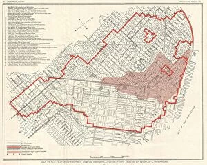
Background imageTopography Collection: 1907 Geological Survey Map Of San Francisco Peninsula After 1906 Earthquake

1907 Geological Survey Map Of San Francisco Peninsula After 1906 Earthquake
1907, Geological Survey Map of San Francisco Peninsula after 1906 Earthquake

Background imageTopography Collection: 1907 Geological Survey Map Of San Francisco After 1906 Earthquake

1907 Geological Survey Map Of San Francisco After 1906 Earthquake
1907, Geological Survey Map of San Francisco after 1906 Earthquake

Background imageTopography Collection: 1904 Clason Map Or View Of The Gilpin Colorado Gold And Mineral Belt

1904 Clason Map Or View Of The Gilpin Colorado Gold And Mineral Belt
1904, Clason Map or View of the Gilpin Colorado Gold and Mineral Belt

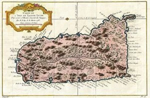
Background imageTopography Collection: 1758 Bellin Map Of Saint Lucia Sainte Lucie West Indies

1758 Bellin Map Of Saint Lucia Sainte Lucie West Indies
1758, Bellin Map of Saint Lucia, Sainte Lucie, West Indies

Background imageTopography Collection: Norbegia And Gottia Topography Cartography Geography

Norbegia And Gottia Topography Cartography Geography
Norbegia and Gottia

Background imageTopography Collection: 1874 Mitchell Map Of Pennsylvania Topography

1874 Mitchell Map Of Pennsylvania Topography
1874, Mitchell Map of Pennsylvania

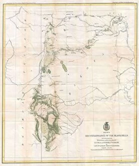
Background imageTopography Collection: 1874 Ludlow And Custer Map Of The Black Hills

1874 Ludlow And Custer Map Of The Black Hills
1874, Ludlow and Custer Map of The Black Hills

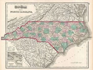
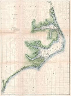
Background imageTopography Collection: 1874 Gray Map Of North Carolina Topography Cartography

1874 Gray Map Of North Carolina Topography Cartography
1874, Gray Map of North Carolina

Background imageTopography Collection: 1873 U.S. Coast Survey Map Of The Delta Of The Mississippi River

1873 U.S. Coast Survey Map Of The Delta Of The Mississippi River
1873, U.S. Coast Survey Map of the Delta of the Mississippi River

Background imageTopography Collection: 1873 U.S. Coast Survey Chart Or Map Of The Chesapeake Bay And Delaware Bay

1873 U.S. Coast Survey Chart Or Map Of The Chesapeake Bay And Delaware Bay
1873, U.S. Coast Survey Chart or Map of the Chesapeake Bay and Delaware Bay

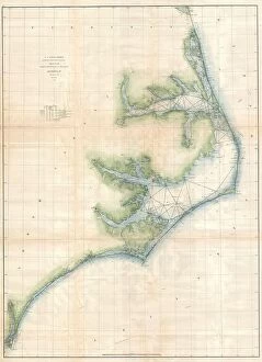
Background imageTopography Collection: 1873 U.S. Coast Survey Chart Or Map Of The Carolina Coast

1873 U.S. Coast Survey Chart Or Map Of The Carolina Coast
1873, U.S. Coast Survey Chart or Map of the Carolina Coast

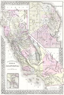
Background imageTopography Collection: 1881 Mitchell Map Of California W- San Francisco Inset

1881 Mitchell Map Of California W- San Francisco Inset
1881, Mitchell Map of California w- San Francisco Inset

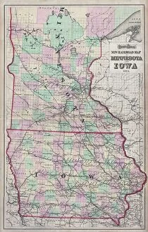
Background imageTopography Collection: 1873 Gray Railroad Map Of Minnesota And Iowa

1873 Gray Railroad Map Of Minnesota And Iowa
1873, Gray Railroad Map of Minnesota and Iowa

Background imageTopography Collection: 1873 U.S. Coast Survey Chart Or Map Of New Jersey And The Delaware Bay

1873 U.S. Coast Survey Chart Or Map Of New Jersey And The Delaware Bay
1873, U.S. Coast Survey Chart or Map of New Jersey and the Delaware Bay

Background imageTopography Collection: 1873 Colton Map Of The Arctic Or North Pole Topography

1873 Colton Map Of The Arctic Or North Pole Topography
1873, Colton Map of the Arctic or North Pole

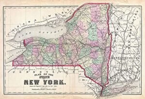
Background imageTopography Collection: 1873 Beers Map Of New York State Topography Cartography

1873 Beers Map Of New York State Topography Cartography
1873, Beers Map of New York State

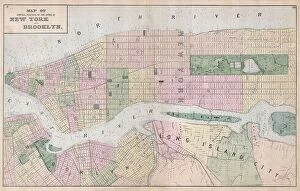
Background imageTopography Collection: 1873 Beers Map Of New York City Topography Cartography

1873 Beers Map Of New York City Topography Cartography
1873, Beers Map of New York City

Background imageTopography Collection: 1872 Walling Map Of Washington And Oregon Topography

1872 Walling Map Of Washington And Oregon Topography
1872, Walling Map of Washington and Oregon

Background imageTopography Collection: 1873 A. And C. Black Map Or Chart Of The Solar System

1873 A. And C. Black Map Or Chart Of The Solar System
1873, A. and C. Black Map or Chart of the Solar System

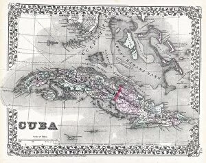
Background imageTopography Collection: 1872 Mitchell Map Of Cuba And The Bahamas Topography

1872 Mitchell Map Of Cuba And The Bahamas Topography
1872, Mitchell Map of Cuba and the Bahamas

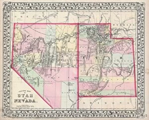
Background imageTopography Collection: 1872 Mitchell Map Of Utah And Nevada Topography

1872 Mitchell Map Of Utah And Nevada Topography
1872, Mitchell Map of Utah and Nevada

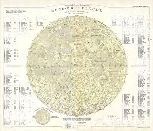
Background imageTopography Collection: 1880 Perthes Stieler Map Of The Moon Topography

1880 Perthes Stieler Map Of The Moon Topography
1880, Perthes, Stieler Map of the Moon

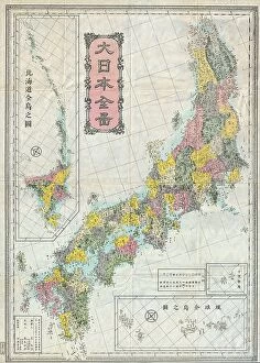
Background imageTopography Collection: 1880s Meiji Japanese Folding Map Of Japan Topography

1880s Meiji Japanese Folding Map Of Japan Topography
1880s Meiji Japanese Folding Map of Japan

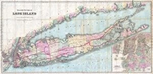
Background imageTopography Collection: 1880 Colton Pocket Map Of Long Island Topography

1880 Colton Pocket Map Of Long Island Topography
1880, Colton Pocket Map of Long Island

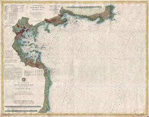
Background imageTopography Collection: 1877 U.S. Coast Survey Map Or Chart Of Boston Bay And Harbor

1877 U.S. Coast Survey Map Or Chart Of Boston Bay And Harbor
1877, U.S. Coast Survey Map or Chart of Boston Bay and Harbor

Background imageTopography Collection: 1878 Adams Monumental Illustrated Panorama Of History

1878 Adams Monumental Illustrated Panorama Of History
1878, Adams Monumental Illustrated Panorama of History

Background imageTopography Collection: 1874 Mitchell Map Of Russia Topography Cartography

1874 Mitchell Map Of Russia Topography Cartography
1874, Mitchell Map of Russia

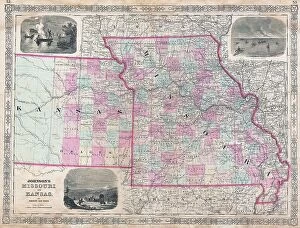
Background imageTopography Collection: 1874 Johnson Map Of Missouri And Kansas Topography

1874 Johnson Map Of Missouri And Kansas Topography
1874, Johnson Map of Missouri and Kansas

Background imageTopography Collection: 1877 U.S. Coast Survey Map Of Long Island And New York City

1877 U.S. Coast Survey Map Of Long Island And New York City
1877, U.S. Coast Survey Map of Long Island and New York City

Background imageTopography Collection: 1877 Mitchell Map Of Vermont And New Hampshire

1877 Mitchell Map Of Vermont And New Hampshire
1877, Mitchell Map of Vermont and New Hampshire

Background imageTopography Collection: 1877 Mitchell Map Of Arizona And New Mexico Topography

1877 Mitchell Map Of Arizona And New Mexico Topography
1877, Mitchell Map of Arizona and New Mexico

Background imageTopography Collection: 1875 U.S. Coast Survey Chart Or Map Of The Carolina Coast

1875 U.S. Coast Survey Chart Or Map Of The Carolina Coast
1875, U.S. Coast Survey Chart or Map of the Carolina Coast

Background imageTopography Collection: 1876 Colton Railroad Pocket Map Of New York State

1876 Colton Railroad Pocket Map Of New York State
1876, Colton Railroad Pocket Map of New York State

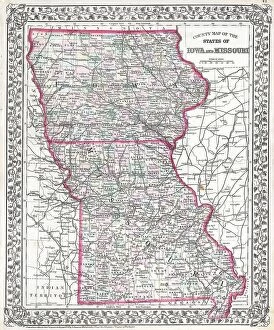
Background imageTopography Collection: 1874 Mitchell Map Of Iowa And Missouri Topography

1874 Mitchell Map Of Iowa And Missouri Topography
1874, Mitchell Map of Iowa and Missouri

Background imageTopography Collection: 1875 Meiji 8 Japanese Wall Map Of Japan Topography

1875 Meiji 8 Japanese Wall Map Of Japan Topography
1875, Meiji 8 Japanese Wall Map of Japan


For sale as Licensed Images

Choose your image, Select your licence and Download the media

"Exploring the World's Varied Topography: From Ancient Greece to Antarctica" Embark on a captivating journey through time and space as we delve into the fascinating realm of topography. This 150 caption takes you across continents, from Cyprus to Africa, Portugal to Wales, and beyond. Let's begin our expedition with a glimpse into history - an intriguing Map of Cyprus published in 1880. Its intricate details transport us back in time, unraveling the island's rich geographical tapestry. Next, we navigate towards Africa where a Political Map unveils the diverse nations that shape this vast continent. The contours and boundaries guide us through its majestic landscapes and vibrant cultures. Venturing westward, we encounter a Map of Portugal which showcases not only its cities but also reveals hidden gems nestled within its topographical wonders. It beckons explorers to uncover its secrets. As we traverse further northwards, three Welsh women dressed in traditional costumes capture our attention. Their attire reflects both their cultural heritage and the unique topography that surrounds them. Turning our gaze towards Scotland, James Craig's 1768 map presents Edinburgh's New Town for the first time. This pioneering plan intertwines urban development with meticulous attention to topographic features – shaping one of Europe's most enchanting cities. Across the Atlantic Ocean lies Plymouth, Massachusetts - Samuel de Champlain’s map from his 1605 expedition guides us through this historic settlement site. The rugged beauty of Plymouth is etched onto this map like a testament to human resilience against nature’s challenges. Our exploration now takes an icy turn as we discover Antarctica adorned with illustrations of sea gulls, penguins, elephant seals, and shrimp amidst towering ice formations. This juxtaposition between wildlife and man-made structures highlights how humanity has left imprints even on Earth’s harshest terrains. The turquoise waters surrounding Providenciales Island in Turks & Caicos come alive on a mural map depicting Grace Bay.