Home > North America > United States of America > New York > New York > Sights > New York Public Library
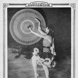
Colored population ratio to total population 1880, 1897. Creator: Unknown

![]()
Wall Art and Photo Gifts from Heritage Images
Colored population ratio to total population 1880, 1897. Creator: Unknown
Colored population ratio to total population 1880, 1897
Heritage Images features heritage image collections
Media ID 36277753
© Heritage Art/Heritage Images
New York Public Library New York United States Of America Nypl Population Public Library Schomburg Center For Research Scribner And Co Scribner Co Statistics Afro American Demographics Ratio Scribner Scribners
FEATURES IN THESE COLLECTIONS
> Africa
> Related Images
> Arts
> Artists
> W
> Charles White
> Maps and Charts
> Related Images
> North America
> United States of America
> Maps
> North America
> United States of America
> New York
> New York
> Maps
> North America
> United States of America
> New York
> New York
> Sights
> New York Public Library
> North America
> United States of America
> New York
> Related Images
EDITORS COMMENTS
This intriguing image, titled "Colored population ratio to total population 1880, 1897," is an 19th century map depicting the demographic distribution of African American and White populations in various countries, states, and territories of the United States and Central America. The map, created by an unknown artist, was published by Schomburg Center for Research in Black Culture, a division of the New York Public Library. The map provides a snapshot of the population ratios of Black and White communities during this period, with darker shades representing a higher percentage of African American residents. The map covers a wide geographical area, including the United States, Mexico, Cuba, and other Central American countries. The map is significant for its historical value, offering insights into the demographic shifts and patterns of racial composition during the late 19th century. It is also a reminder of the complex racial dynamics that existed during this time, with the United States undergoing significant growth and transformation. The map was likely produced for scholarly or educational purposes, as it was published by the Schomburg Center for Research in Black Culture, which is dedicated to preserving and promoting the history and culture of people of African descent. The map is now part of the vast collection of the New York Public Library, which holds a wealth of historical and cultural resources for researchers, students, and the general public. The map is a powerful reminder of the rich heritage and complex history of the African American community in the United States and beyond. It invites us to explore the past and gain a deeper understanding of the demographic and social trends that have shaped our world.
MADE IN THE USA
Safe Shipping with 30 Day Money Back Guarantee
FREE PERSONALISATION*
We are proud to offer a range of customisation features including Personalised Captions, Color Filters and Picture Zoom Tools
FREE COLORIZATION SERVICE
You can choose advanced AI Colorization for this picture at no extra charge!
SECURE PAYMENTS
We happily accept a wide range of payment options so you can pay for the things you need in the way that is most convenient for you
* Options may vary by product and licensing agreement. Zoomed Pictures can be adjusted in the Cart.