Home > Europe > United Kingdom > Scotland > Aberdeenshire > Huntly
Test Valley SP11 8 Map

![]()
Wall Art and Photo Gifts from Map Marketing
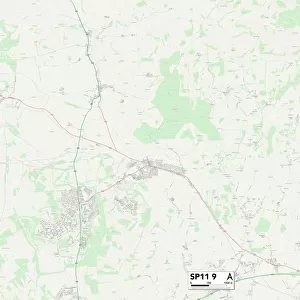
Test Valley SP11 8 Map
Postcode Sector Map of Test Valley SP11 8
Media ID 19981492
Amesbury Road Andover Road Beech Close Broad Road Chalkpit Lane Chapel Close Chapel Lane Cow Lane Deacon Road Dickson Road Douglas Road Down Road Elm Close Fairways Fyfield Road Grange Close Green Drove Green Lane Hawthorne Close High Street Hook Lane Hunts Lane Lambourne Close Lambourne Way Lovell Close Ox Drove Park Lane Pond Lane Portal Close Saddlers Mews St Leonards Stanbury Road Station Road Sunnybank Tedder Close Test Valley The Dell The Limes Trenchard Road Fyfield Sp11 8pn Thruxton
FEATURES IN THESE COLLECTIONS
> Animals
> Mammals
> Bovidae
> Ox
> Animals
> Mammals
> Dogs (Wild)
> Red Fox
> Arts
> Artists
> D
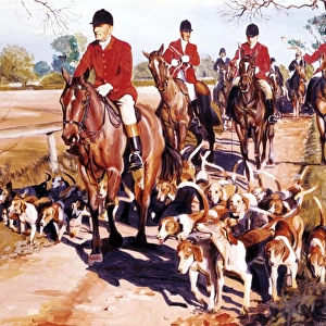
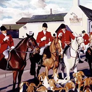
> Lawrence Duncan
> Asia
> Georgia
> Related Images
> Europe
> United Kingdom
> Scotland
> Aberdeenshire
> Huntly
> Map Marketing
> Postcode Sector Maps
> SP - Salisbury
> Maps and Charts
> Related Images
MADE IN THE USA
Safe Shipping with 30 Day Money Back Guarantee
FREE PERSONALISATION*
We are proud to offer a range of customisation features including Personalised Captions, Color Filters and Picture Zoom Tools
SECURE PAYMENTS
We happily accept a wide range of payment options so you can pay for the things you need in the way that is most convenient for you
* Options may vary by product and licensing agreement. Zoomed Pictures can be adjusted in the Cart.