
Maps Collection
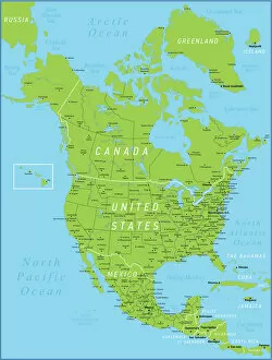
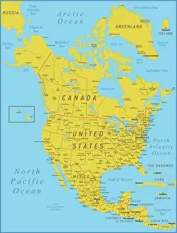
Maps of Cuba North America are a collection that show the geography and political boundaries of Cuba
Choose a picture from our Maps Collection for your Wall Art and Photo Gifts
231 items
All Professionally Made to Order for Quick Shipping
-
Maps Collection
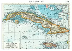
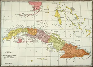
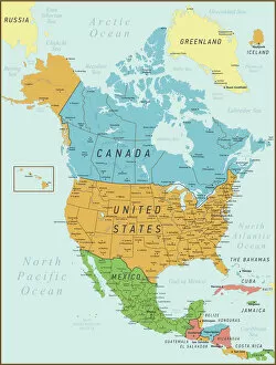
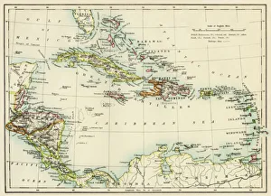
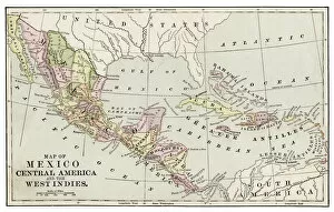
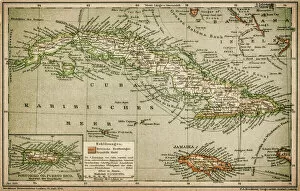
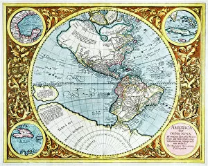
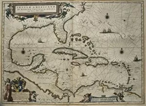
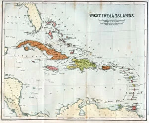
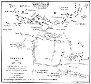
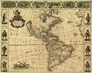
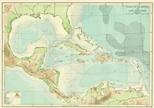
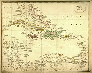
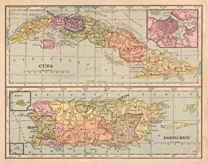
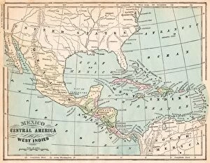
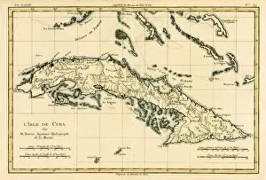
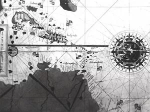
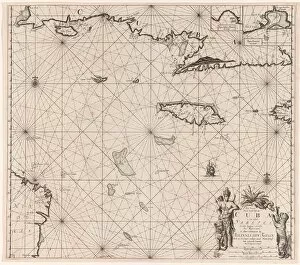
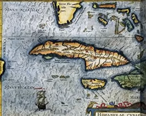
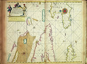
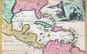
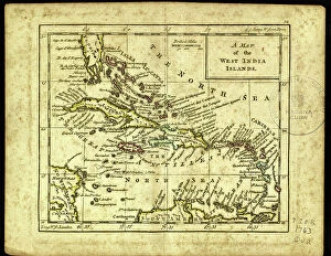
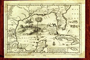
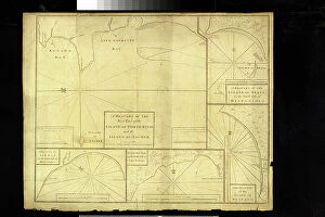
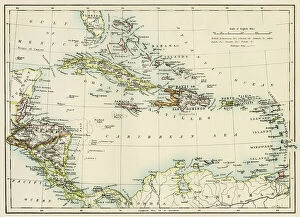
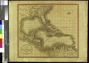
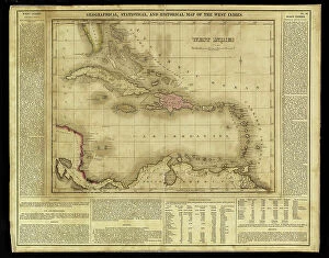
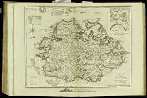
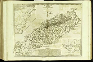
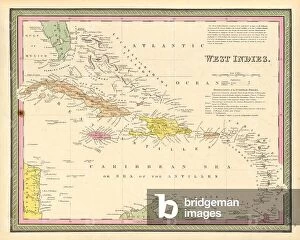
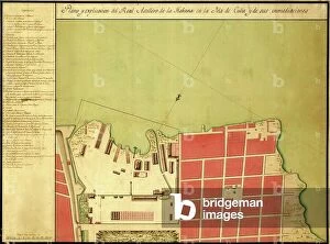
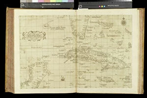
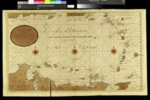
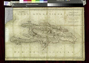
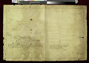
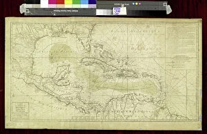
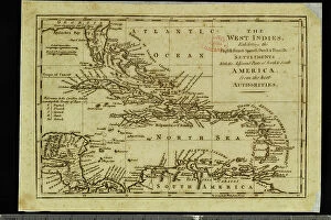
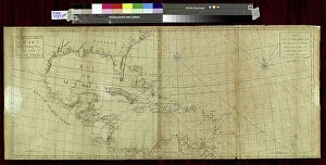
Maps of Cuba North America are a collection that show the geography and political boundaries of Cuba. The maps depict the island nation's location in relation to other countries in the region, including Mexico, Haiti, Jamaica and the United States. They also provide detailed information on Cuban cities, provinces and regions as well as its coastline. they also feature important landmarks such as Havana Bay and Santiago de Cuba Bay. Additionally, they provide information on transportation networks such as roads, railways and airports. Maps of Cuba North America are essential for anyone looking to travel or do business in this vibrant Caribbean country.
+
Our beautiful pictures are available as Framed Prints, Photos, Wall Art and Photo Gifts
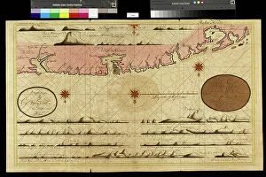
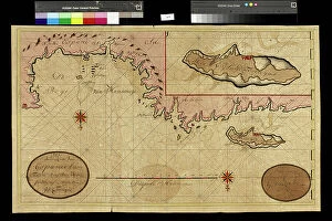
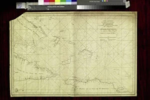
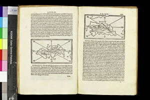
The Maps of Cuba North America collection from Media Storehouse offers a unique and fascinating glimpse into the history and geography of Cuba. Our collection features a wide range of maps, including antique maps dating back to the 16th century, as well as more modern maps that showcase the country's current infrastructure and topography. Each map in our collection is beautifully crafted with intricate details that capture the essence of Cuba's rich cultural heritage. Whether you're interested in exploring Havana's historic neighborhoods or tracing the island's coastline, these maps provide an excellent resource for anyone looking to learn more about this beautiful Caribbean nation. With a variety of sizes and framing options available, these prints make great wall art for any home. They also make thoughtful gifts for anyone who loves travel, history, or geography. If you're looking to add some Cuban flair to your decor or expand your knowledge about this fascinating country, then be sure to check out our Maps of Cuba North America collection.
+
What are Maps of Cuba North America art prints?
Maps of Cuba North America art prints are high-quality reproductions of vintage maps depicting the island nation of Cuba and its surrounding regions. These maps showcase the intricate details and topography of the land, including cities, rivers, mountains, and coastlines. They provide a glimpse into the history and geography of this fascinating country. These art prints are perfect for those who love travel or have an interest in Cuban culture. They can be used to decorate homes, offices or classrooms with a unique touch that reflects one's personal style. The Maps of Cuba North America art prints come in various sizes to fit any space and are printed on high-quality paper using archival ink to ensure long-lasting color vibrancy. Whether you're looking for a gift for a friend or family member who loves travel or want to add some character to your own living space, these beautiful maps will make an excellent addition to any collection.
+
What Maps of Cuba North America art prints can I buy from Media Storehouse?
We offer a wide range of Maps of Cuba North America art prints that you can buy. You can choose from various sizes and styles, including vintage maps, satellite images, and contemporary designs. These art prints feature different aspects of Cuba's geography, such as its cities, coastlines, mountains, and rivers. Some also include information about the country's history and culture. One popular option is the antique map of Cuba by John Tallis & Co., which was published in 1851. It shows detailed illustrations of Havana and other major towns along with their surrounding landscapes. Another interesting choice is the NASA satellite image of Cuba at night that highlights the country's urban areas' brightness against its dark rural regions. Whether you're looking for a decorative piece for your home or office or an educational tool for your classroom or library, we have many Maps of Cuba North America art prints to suit your needs and preferences.
+
How do I buy Maps of Cuba North America art prints?
To buy Maps of Cuba North America art prints from Media Storehouse, you can browse our collection online and select the print that catches your eye. Once you have found the perfect map, add it to your cart and proceed to checkout. You will be prompted to enter your shipping information and payment details. After completing the purchase process, you will receive a confirmation email with all relevant order details. We offer a wide range of maps in various sizes and formats, including framed or unframed prints. They use high-quality materials for printing to ensure that each map is vibrant and long-lasting. If you have any questions or concerns about purchasing a map from Media Storehouse, our customer service team is available to assist you via phone or email. Buying Maps of Cuba North America art prints from Media Storehouse is an easy and convenient process that allows you to bring beautiful artwork into your home or office space.
+
How much do Maps of Cuba North America art prints cost?
We offer a wide range of art prints featuring maps of Cuba and North America. The cost of these prints may vary depending on the size, framing options, and other factors. However, We provide affordable prices for their high-quality art prints to ensure that you can find something within their budget. The maps of Cuba and North America are visually stunning pieces that can add character to any room or space. These prints are perfect for those who love geography or have an interest in travel. They make great gifts as well. At Media Storehouse, you can choose from a variety of map designs that suit your style preferences. Whether you prefer vintage or modern styles, there is something for everyone at this online store. The cost of Maps of Cuba North America art prints at Media Storehouse is reasonable and worth investing in if you want to add some unique artwork to your home or office decor collection.
+
How will my Maps of Cuba North America art prints be delivered to me?
Your Maps of Cuba North America art prints will be delivered to you through a reliable and secure shipping service. The company takes great care in ensuring that your order is packaged safely and securely before it is dispatched for delivery. Your art prints will be rolled up carefully into a sturdy tube, which provides excellent protection against any damage during transit. The shipping service used by the company ensures that your package is tracked throughout its journey, so you can keep an eye on its progress until it reaches your doorstep. You can expect to receive your Maps of Cuba North America art prints within a reasonable timeframe after placing your order. Once you receive your package, simply unroll the tube and enjoy displaying your new artwork in whichever way suits you best. Whether it's framed or hung as-is, these beautiful maps are sure to add character and interest to any room they're displayed in.