Boundary Collection (#5)

"Exploring Boundaries

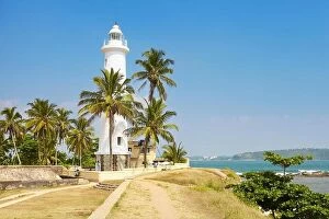
Background imageBoundary Collection: Sri Lanka - Galle, shoreline with lighthouse

Sri Lanka - Galle, shoreline with lighthouse

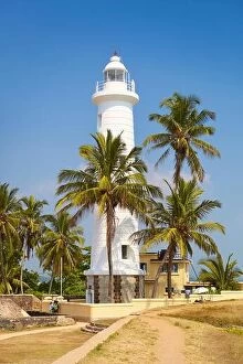
Background imageBoundary Collection: Sri Lanka - Galle, shoreline with lighthouse

Sri Lanka - Galle, shoreline with lighthouse

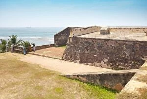
Background imageBoundary Collection: Sri Lanka - Galle, Old Fort, UNESCO, World Heritage Site

Sri Lanka - Galle, Old Fort, UNESCO, World Heritage Site

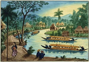
Background imageBoundary Collection: Manila and its Environs: View near the Town of Taguig on the Pasig River

Manila and its Environs: View near the Town of Taguig on the Pasig River
1767259 Manila and its Environs: View near the Town of Taguig on the Pasig River (watercolour with bodycolour) by Lozano, Jose Honorato (c.1815-c.85); 24.7x34.3 cm; Private Collection; (add.info)

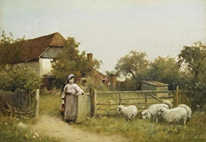
Background imageBoundary Collection: Young Girl with Sheep, by a Cottage, (pencil and watercolour heightened with white)

Young Girl with Sheep, by a Cottage, (pencil and watercolour heightened with white)
659874 Young Girl with Sheep, by a Cottage, (pencil and watercolour heightened with white) by Sigmund, Benjamin D. (fl.1880-1904); 25.4x36.3 cm; Private Collection; (add.info.: Young Girl with Sheep)

Background imageBoundary Collection: Escaped: Two Rabbits and Guinea Pig, 1880 (oil on canvas)

Escaped: Two Rabbits and Guinea Pig, 1880 (oil on canvas)
827248 Escaped: Two Rabbits and Guinea Pig, 1880 (oil on canvas) by Barber, Alfred R. (fl.1879-93); 35.5x48.5 cm; Private Collection; (add.info.: Escaped: Two Rabbits and Guinea Pig. Alfred R)

Background imageBoundary Collection: Mass demonstration held outside Rathaus Schoneberg City Hall in protest against

Mass demonstration held outside Rathaus Schoneberg City Hall in protest against the construction of the Berlin Wall which began three days earlier overnight on the 12th-13th August

Background imageBoundary Collection: For the first time since its erection, the Berlin Wall is opened for border crossings for

For the first time since its erection, the Berlin Wall is opened for border crossings for 18 days over the Christmas period

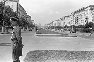
Background imageBoundary Collection: Scenes in East Berlin, East Germany soon after the start of the construction of

Scenes in East Berlin, East Germany soon after the start of the construction of the Berlin Wall. Police monitoring the situation around Frankfurter Allee in the east of the city. 18th August 1961

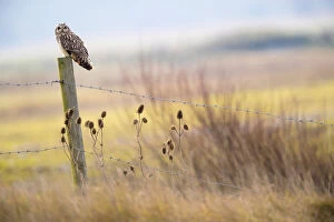
Background imageBoundary Collection: Short-eared-owl (Asio flammeus) looking for prey from fence post, Vendee, France, January

Short-eared-owl (Asio flammeus) looking for prey from fence post, Vendee, France, January

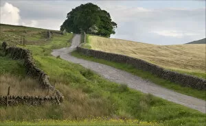
Background imageBoundary Collection: Yorkshire Dales Wall art

Yorkshire Dales Wall art
Lane and wall snakes its way across hills

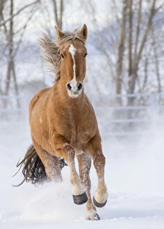
Background imageBoundary Collection: Chestnut Mustang running in snow, at ranch, Shell, Wyoming, USA. February

Chestnut Mustang running in snow, at ranch, Shell, Wyoming, USA. February

Background imageBoundary Collection: Cavalier King Charles Spaniel, male puppy with tricolor coat, aged 3 months, at

Cavalier King Charles Spaniel, male puppy with tricolor coat, aged 3 months, at garden fence

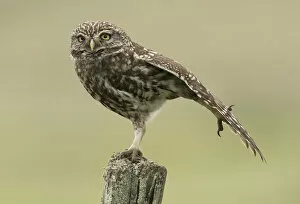
Background imageBoundary Collection: Little owl (Athene noctua) perched on a fence post, stretching its wings, Castro Verde

Little owl (Athene noctua) perched on a fence post, stretching its wings, Castro Verde, Alentejo, Portugal, April

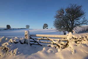
Background imageBoundary Collection: Winter scene with gate near Bonsall, Peak District National Park, Derbyshire

Winter scene with gate near Bonsall, Peak District National Park, Derbyshire. December 2014

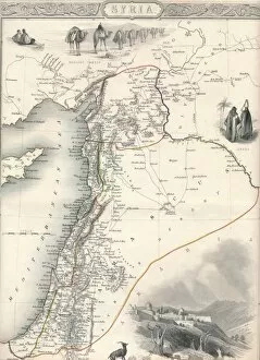
Background imageBoundary Collection: Map of Syria, 1851. Artist: John Tallis
Map of Syria, 1851. Artist: John Tallis
Map of Syria, 1851. From The Illustrated Atlas, And Modern History Of The World Geographical, Political, Commercial & Statistical edited by R. Montgomery Martin, Esq. [J & F

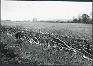
Background imageBoundary Collection: Hedgelaying DIX02_01_100

Hedgelaying DIX02_01_100
Harborough, Leicestershire. Hedgelaying near Kilworth, 1930s

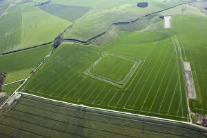
Background imageBoundary Collection: Wansdyke at North Down 29622_035

Wansdyke at North Down 29622_035
North Down, Willtshire, 2015. The Wansdyke and a medieval or later sheep enclosure

Background imageBoundary Collection: Beyond the Barrier

Beyond the Barrier
Linda Wride

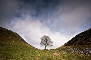
Background imageBoundary Collection: Hadrian's Wall at Sycamore Gap, between Steel Rigg and Housesteads, Northumberland, England, UK

Hadrian's Wall at Sycamore Gap, between Steel Rigg and Housesteads, Northumberland, England, UK, March 2017

Background imageBoundary Collection: The Great Divide Boundary between BC and Alberta, Canada

The Great Divide Boundary between BC and Alberta, Canada
The Great Divide Boundary between BC and Alberta, Banff, Canada Date: early 1900s

Background imageBoundary Collection: Great Divide boundary bewteen Alberta and British Columbia

Great Divide boundary bewteen Alberta and British Columbia
The Great Divide boundary bewteen Alberta and British Columbia, early 1900s Date: early 1900s

Background imageBoundary Collection: 1832 Victorian Map of Great Marlow

1832 Victorian Map of Great Marlow

Background imageBoundary Collection: 1832 Victorian Map of Windsor

1832 Victorian Map of Windsor

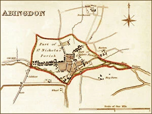
Background imageBoundary Collection: 1832 Victorian Map of Abingdon

1832 Victorian Map of Abingdon

Background imageBoundary Collection: 1832 Victorian Map of Reading

1832 Victorian Map of Reading

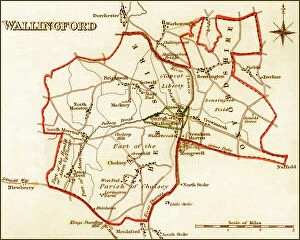
Background imageBoundary Collection: 1832 Victorian Map of Wallingford

1832 Victorian Map of Wallingford

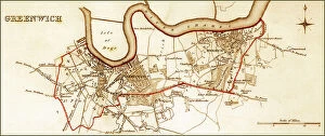
Background imageBoundary Collection: 1832 Victorian Map of Greenwich

1832 Victorian Map of Greenwich

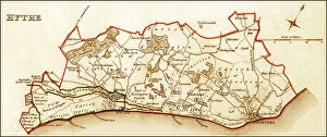
Background imageBoundary Collection: 1832 Victorian Map of Hythe

1832 Victorian Map of Hythe

Background imageBoundary Collection: 1832 Victorian Map of Reigate

1832 Victorian Map of Reigate

Background imageBoundary Collection: 1832 Victorian Map of Southwark

1832 Victorian Map of Southwark

Background imageBoundary Collection: 1832 Victorian Map of Guildford

1832 Victorian Map of Guildford

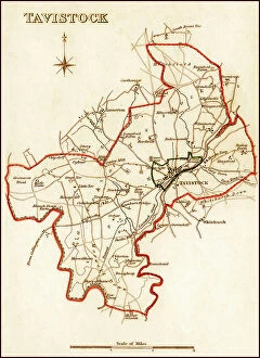
Background imageBoundary Collection: 1832 Victorian Map of Tavistock

1832 Victorian Map of Tavistock

Background imageBoundary Collection: 1832 Victorian Map of Ashburton

1832 Victorian Map of Ashburton

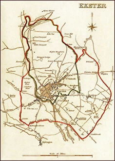
Background imageBoundary Collection: 1832 Victorian Map of Exeter

1832 Victorian Map of Exeter

Background imageBoundary Collection: 1832 Victorian Map of Barnstaple

1832 Victorian Map of Barnstaple

Background imageBoundary Collection: 1832 Victorian Map of Tiverton

1832 Victorian Map of Tiverton

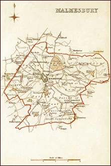
Background imageBoundary Collection: 1832 Victorian Map of Malmesbury

1832 Victorian Map of Malmesbury

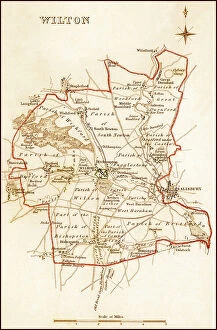
Background imageBoundary Collection: 1832 Pre Victorian Map of Wilton near Salisbury

1832 Pre Victorian Map of Wilton near Salisbury

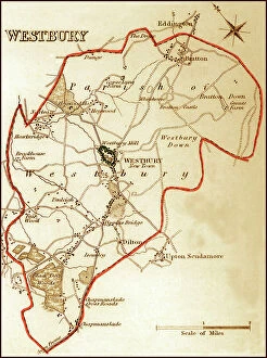
Background imageBoundary Collection: 1832 Victorian Map of Westbury

1832 Victorian Map of Westbury

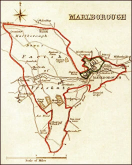
Background imageBoundary Collection: 1832 Victorian Map of Marlborough

1832 Victorian Map of Marlborough

Background imageBoundary Collection: 1832 Victorian Map of Salisbury

1832 Victorian Map of Salisbury

Background imageBoundary Collection: 1832 Victorian Map of Devizes

1832 Victorian Map of Devizes

Background imageBoundary Collection: 1832 Victorian Map of Truro

1832 Victorian Map of Truro

Background imageBoundary Collection: 1832 Victorian Map of St. Ives

1832 Victorian Map of St. Ives

Background imageBoundary Collection: 1832 Victorian Map of Liskeard

1832 Victorian Map of Liskeard

Background imageBoundary Collection: 1832 Victorian Map of Penryn and Falmouth

1832 Victorian Map of Penryn and Falmouth

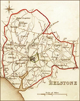
Background imageBoundary Collection: 1832 Victorian Map of Helston

1832 Victorian Map of Helston


For sale as Licensed Images

Choose your image, Select your licence and Download the media

"Exploring Boundaries: From Ancient Empires to Modern Territories" This captivating collection of images highlights the significance and diversity of boundaries across various realms. Starting with Boundary Park Art in Oldham Athletic, we witness how art can transcend physical limits and connect communities. Moving on to Scotland, UK, a satellite image showcases the intricate lines that define national borders. Delving into history, we encounter the Map of the Macedonian Empire after Alexander the Great's conquests. This map symbolizes both territorial expansion and cultural exchange during one of history's most influential periods. Shifting our focus to geology, a Map of the World reveals lines marking tectonic plate boundaries—a reminder of Earth's ever-changing nature. In contrast, two majestic lions patrolling their territorial boundary remind us that animals too have distinct territories they fiercely protect. As we explore further, maps depicting The Apostle Paul's travels and ancient-modern Jerusalem offer glimpses into religious boundaries shaped by faith and historical events. Meanwhile, an Africa Political Map emphasizes geopolitical divisions shaping nations' identities today. Closer to home in London, arms and seals represent local authority while highlighting administrative boundaries within this bustling metropolis. Additionally, Earth’s tectonic plates illustrate how invisible forces shape our planet beneath its surface. Lastly, we reflect on U. S territory gained from Mexico—a testament to political negotiations defining international borders throughout history. Concluding with LCC-LFB Plumstead fire station in SE London signifies how even emergency services are organized based on geographical boundaries for efficient response times. In this diverse array of images lies a common thread—the concept of "boundary. " Whether physical or abstract; natural or man-made.