
Mapping Collection (page 2)
"Exploring the World Through Maps: A Journey of Discovery" Embark on a captivating journey through time and space as we delve into the fascinating world of mapping


For sale as Licensed Images
Choose your image, Select your licence and Download the media
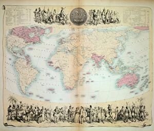
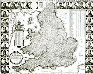
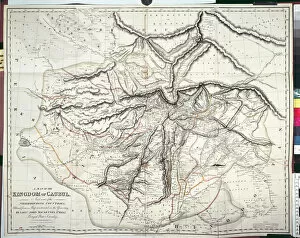
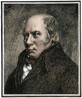
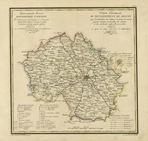
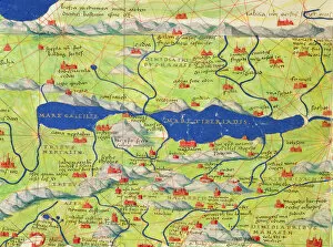
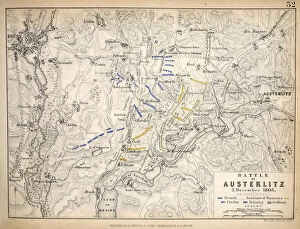
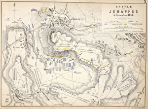
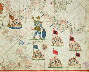
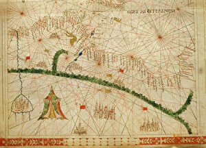
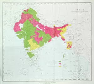
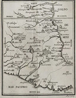
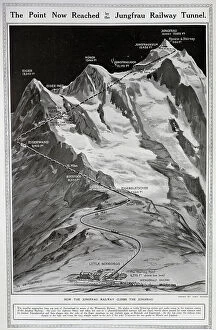
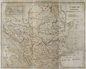
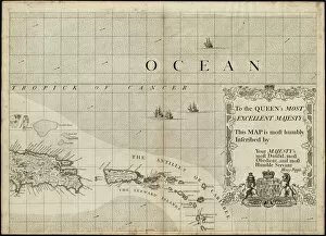
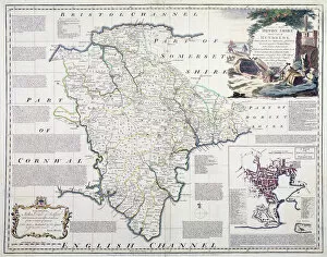
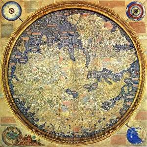
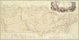
"Exploring the World Through Maps: A Journey of Discovery" Embark on a captivating journey through time and space as we delve into the fascinating world of mapping. From the iconic Wimbledon tennis complex in the UK to the enchanting Theatre of the Empire of Great Britain, these maps offer glimpses into diverse landscapes and historical narratives. Transport yourself back to 1560 Mexico with Alonso de Santa Cruz's Map of Tenochtitlan, where you can trace the ancient streets and waterways that once thrived in this vibrant city. Or marvel at Durer's intricate world map from 1515, which showcases an era when cartography was still in its infancy but held immense potential for exploration. Step foot onto 16th-century Florence with a meticulously detailed plan that captures every nook and cranny of this Renaissance gem. Meanwhile, an Italian map from 1537 unveils Corfu's allure nestled within Greece's Ionian Sea – a testament to both artistic skill and geographical accuracy. As we venture further into history, a stunning 17th-century European map unfolds before our eyes, revealing political boundaries that have since evolved but continue to shape our present-day understanding. Witness Dubrovnik's pre-1667 earthquake charm through an intricately crafted depiction that preserves its architectural grandeur. The allure extends beyond terrestrial realms as well; explore Bermuda’s beauty through a vividly colored engraving or immerse yourself in Roman glory with "A New Map of the Roman Empire. " These maps not only guide us geographically but also provide insights into cultural heritage and societal dynamics. Finally, let us contemplate White Matter Fibres' artwork from 1930 – an abstract representation reminding us that mapping transcends physical borders too. It invites us to explore neural pathways within our own minds while appreciating how cartography has become intertwined with human cognition throughout history. Intricate lines, vibrant colors, and meticulous details come together on these maps, inviting us to embark on a visual and intellectual adventure.