
Scale Collection (#10)
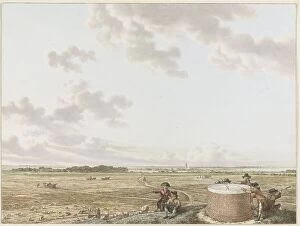
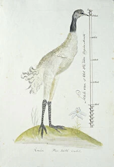
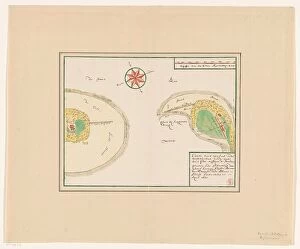
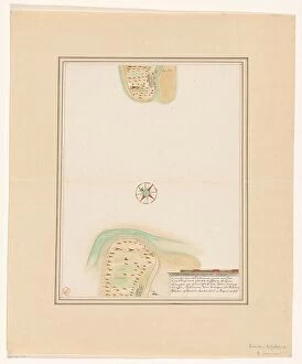
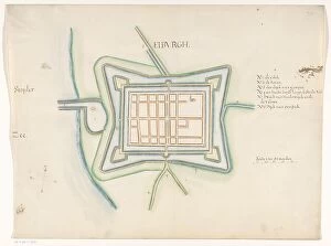
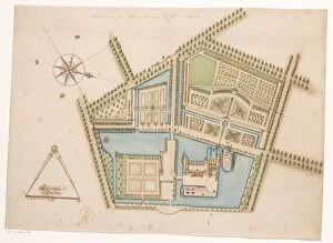
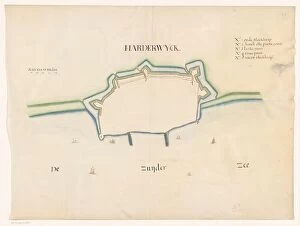
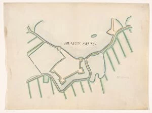
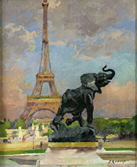
Scale: From the vastness of Namibia's sand dunes to the intricate details of a Titanic blueprint, the world showcases its grandeur and intricacy


For sale as Licensed Images
Choose your image, Select your licence and Download the media
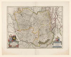
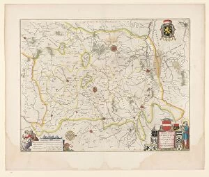
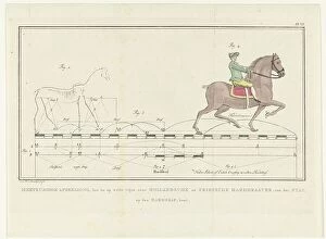
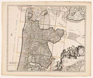
Scale: From the vastness of Namibia's sand dunes to the intricate details of a Titanic blueprint, the world showcases its grandeur and intricacy. Edmund Hillary & Tenzing conquering Mount Everest, reminding us that human determination can overcome any scale. The majestic Sagrada Familia in Barcelona stands as a testament to architectural magnificence, recognized by UNESCO as a World Heritage Site. In downtown Oranjestad, Aruba, an 'I love Aruba' sign captures the vibrant spirit of this Caribbean paradise. The Scales of Justice above London's Old Bailey Law Courts symbolize fairness and balance in our legal system. A historic map reveals Dublin's evolution in 1797, reflecting the city's rich heritage. Llyn Cau and Cader Idris bask in winter sun within Snowdonia National Park, exemplifying nature's awe-inspiring scale. St Pauls Cathedral unveils Wren’s Dome section with its remarkable engineering marvels. A map depicting Palestine and Holy Land reminds us of their historical significance and cultural diversity. And who could forget the whimsical CAT PIANO - an extraordinary instrument that defies conventional scales? Lastly, The Kelpies at Helix Park entrance captivate with their colossal equine sculptures along Forth and Clyde Canal; they epitomize Scotland’s proud industrial past.