
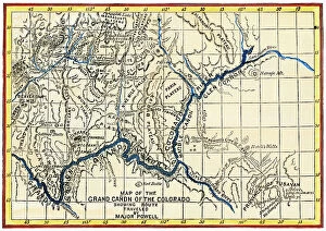
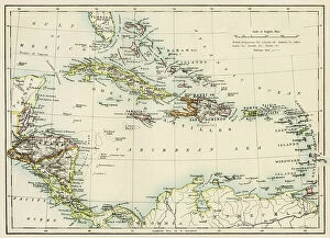
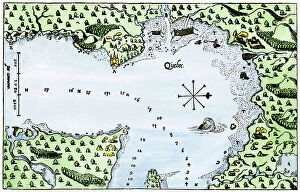
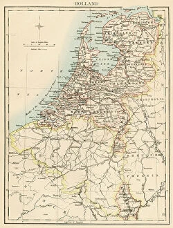
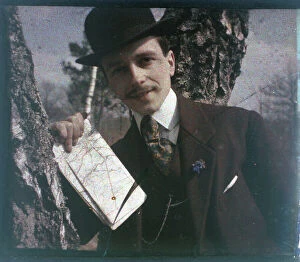
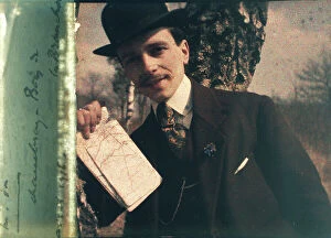
Geographical Map Collection (#3)
"Journey through Time: Exploring the Intricate World of Geographical Maps" Step into a world where maps were not just tools, but works of art


For sale as Licensed Images
Choose your image, Select your licence and Download the media
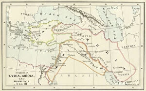
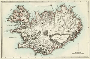
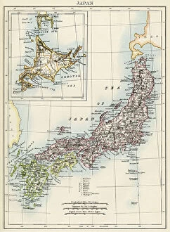
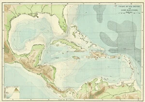
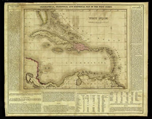
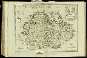
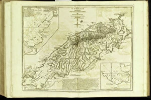
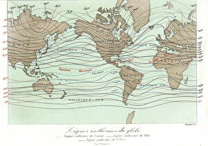
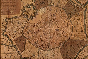
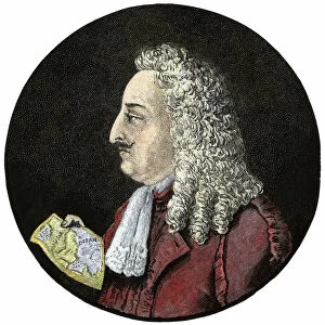
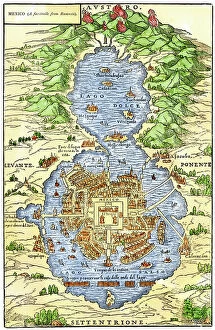
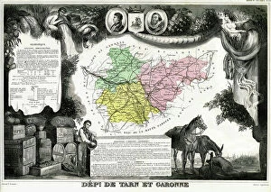
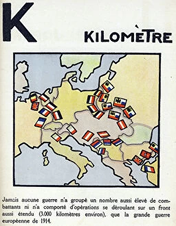
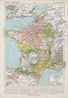
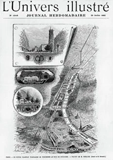
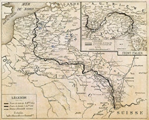
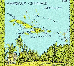
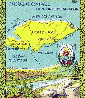
"Journey through Time: Exploring the Intricate World of Geographical Maps" Step into a world where maps were not just tools, but works of art. The Plum Pudding in Danger or State Epicures taking un Petit Souper, 1805 engraving captures the essence of an era when cartography was both informative and visually captivating. Travel back to 1570 with the Map of the Tartar territory engraving, revealing a glimpse into ancient lands and distant cultures. Meanwhile, the Map of Tuscany in Italy from the same year showcases intricate details that transport us to Renaissance Europe. Gerardus Mercator's Atlas 1587 takes us on a comprehensive journey across continents, as his Orbis Terrae Compendiosa Descriptio reveals his mastery in capturing our vast planet's beauty. Delve deeper into specific regions like Algeria with its Geographic map highlighting Algiers, Oran, and Constantine provinces. Witness history unfold as Emperor Albert I studies France's map during Pope Boniface VIII and King Philip IV's conflict – a testament to how geography played a pivotal role even in medieval times. Jean Guerard's Universal hydrographic map manuscript from 1734 offers insights into maritime exploration while showcasing French expertise in cartography. And let us not forget the Representation of a geographic map depicting diseases prevalent at the end of the 19th century – reminding us that maps can also shed light on societal challenges. Finally, immerse yourself in Europe's past with an enchanting Map from 1743; it unveils borders long gone but still etched within historical memory. These they are more than mere navigational aids; they are gateways to different eras and windows into diverse worlds. Join us on this extraordinary expedition through time as we unravel their secrets and marvel at their enduring allure.