Territory Collection (#9)

"Exploring the Rich Tapestry of Territory

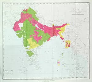
Background imageTerritory Collection: Map of India, showing the progress of the Imperial Surveys, published under the direction

Map of India, showing the progress of the Imperial Surveys, published under the direction
XCF306005 Map of India, showing the progress of the Imperial Surveys, published under the direction of Colonel H.R. Thuillier, R.E

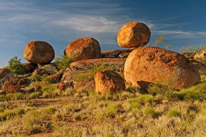
Background imageTerritory Collection: Devils Marbles, Devils Marbles Conservation Reserve, Northern Territory, Australia

Devils Marbles, Devils Marbles Conservation Reserve, Northern Territory, Australia, June 2010

Background imageTerritory Collection: A group of meerkats (Suricata suricatta) or suricates, stand on an old termite mound

A group of meerkats (Suricata suricatta) or suricates, stand on an old termite mound to gain extra height and watch for predators in their territory on the edge of Makgadikgadi Pans National Park

Background imageTerritory Collection: Airport Parking Pattern

Airport Parking Pattern
Planes parked at airport

Background imageTerritory Collection: Antique Map of the Mackinac Island Area during the War of 1812 - 19th Century

Antique Map of the Mackinac Island Area during the War of 1812 - 19th Century
Vintage map showing early territorial borders and military positions in the Mackinac area during the War of 1812. Vintage etching circa late 19th century

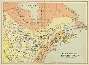
Background imageTerritory Collection: Antique Map of Canada from the 16th to 18th Century

Antique Map of Canada from the 16th to 18th Century
Vintage map of Canada showing the early territorial boundaries of European Occupation. Vintage etching circa late 19th century

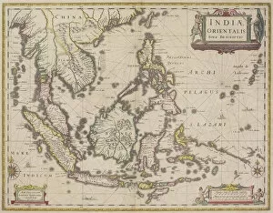
Background imageTerritory Collection: antique, archival, border, burma, cambodia, cartography, country, document, geography

antique, archival, border, burma, cambodia, cartography, country, document, geography, historic, historical, india orientalis, indian ocean, indonesia, islands, latitude, legend, longitude, malaysia

Background imageTerritory Collection: Bluethroat Male; Territory Song

Bluethroat Male; Territory Song

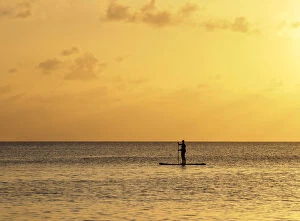
Background imageTerritory Collection: Stand up paddle along Seven Mile Beach at sunset, George Town, Grand Cayman

Stand up paddle along Seven Mile Beach at sunset, George Town, Grand Cayman, Cayman Islands

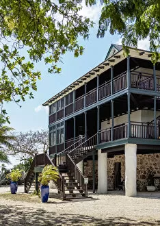
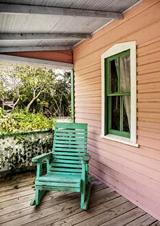
Background imageTerritory Collection: Traditional House, George Town, Grand Cayman, Cayman Islands

Traditional House, George Town, Grand Cayman, Cayman Islands

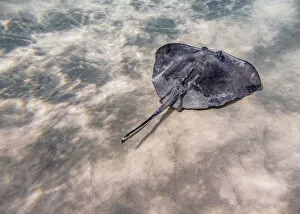
Background imageTerritory Collection: Southern stingray (Hypanus americanus), Stingray City, Grand Cayman, Cayman Islands

Southern stingray (Hypanus americanus), Stingray City, Grand Cayman, Cayman Islands

Background imageTerritory Collection: Boats at Stingray City, Grand Cayman, Cayman Islands

Boats at Stingray City, Grand Cayman, Cayman Islands

Background imageTerritory Collection: Governors Harbour, West Bay, Grand Cayman, Cayman Islands

Governors Harbour, West Bay, Grand Cayman, Cayman Islands

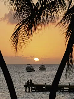
Background imageTerritory Collection: Sunset seen from Seven Mile Beach, West Bay, Grand Cayman, Cayman Islands

Sunset seen from Seven Mile Beach, West Bay, Grand Cayman, Cayman Islands

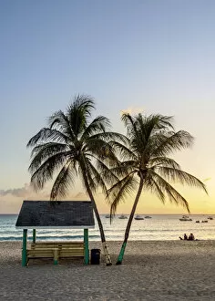
Background imageTerritory Collection: Seven Mile Beach at sunset, West Bay, Grand Cayman, Cayman Islands

Seven Mile Beach at sunset, West Bay, Grand Cayman, Cayman Islands

Background imageTerritory Collection: Ministry of Peace Church, West Bay, Grand Cayman, Cayman Islands

Ministry of Peace Church, West Bay, Grand Cayman, Cayman Islands

Background imageTerritory Collection: Coast of Pedro St. James National Historic Site, Savannah, Bodden Town District

Coast of Pedro St. James National Historic Site, Savannah, Bodden Town District, Grand Cayman, Cayman Islands

Background imageTerritory Collection: Pedro St. James National Historic Site, Savannah, Bodden Town District, Grand Cayman

Pedro St. James National Historic Site, Savannah, Bodden Town District, Grand Cayman, Cayman Islands

Background imageTerritory Collection: Gnome Figure at Queen Elizabeth II Botanic Park, North Side, Grand Cayman, Cayman Islands

Gnome Figure at Queen Elizabeth II Botanic Park, North Side, Grand Cayman, Cayman Islands

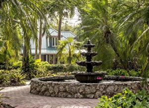
Background imageTerritory Collection: Rankine House, Heritage Garden, Queen Elizabeth II Botanic Park, North Side, Grand Cayman

Rankine House, Heritage Garden, Queen Elizabeth II Botanic Park, North Side, Grand Cayman, Cayman Islands

Background imageTerritory Collection: Queen Elizabeth II Botanic Park, North Side, Grand Cayman, Cayman Islands

Queen Elizabeth II Botanic Park, North Side, Grand Cayman, Cayman Islands

Background imageTerritory Collection: Hammock at North Side, Grand Cayman, Cayman Islands

Hammock at North Side, Grand Cayman, Cayman Islands

Background imageTerritory Collection: Starfish Point Beach, North Side, Grand Cayman, Cayman Islands

Starfish Point Beach, North Side, Grand Cayman, Cayman Islands

Background imageTerritory Collection: Sea star st Starfish Point, North Side, Grand Cayman, Cayman Islands

Sea star st Starfish Point, North Side, Grand Cayman, Cayman Islands

Background imageTerritory Collection: Architecture of North Side, Grand Cayman, Cayman Islands

Architecture of North Side, Grand Cayman, Cayman Islands

Background imageTerritory Collection: Catamaran at North Side, Grand Cayman, Cayman Islands

Catamaran at North Side, Grand Cayman, Cayman Islands

Background imageTerritory Collection: Rum Point, North Side, Grand Cayman, Cayman Islands

Rum Point, North Side, Grand Cayman, Cayman Islands

Background imageTerritory Collection: Sunset at the coast of George Town, Grand Cayman, Cayman Islands

Sunset at the coast of George Town, Grand Cayman, Cayman Islands

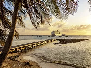
Background imageTerritory Collection: Cruise Ship by the coast of George Town, Grand Cayman, Cayman Islands

Cruise Ship by the coast of George Town, Grand Cayman, Cayman Islands

Background imageTerritory Collection: Cayman Islands National Museum, George Town, Grand Cayman, Cayman Islands

Cayman Islands National Museum, George Town, Grand Cayman, Cayman Islands

Background imageTerritory Collection: Coast of George Town, Grand Cayman, Cayman Islands

Coast of George Town, Grand Cayman, Cayman Islands

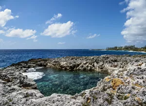
Background imageTerritory Collection: Crystal Caves, North Side, Grand Cayman, Cayman Islands

Crystal Caves, North Side, Grand Cayman, Cayman Islands

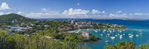
Background imageTerritory Collection: U. S. Virgin Islands, St. John, Cruz Bay, elevated town view with The Battery

U. S. Virgin Islands, St. John, Cruz Bay, elevated town view with The Battery
U.S. Virgin Islands, St. John, Cruz Bay, elevated town view with The Battery

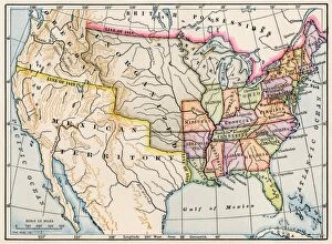
Background imageTerritory Collection: United States map in 1830

United States map in 1830
Territories of the United States in 1830. Printed color lithograph

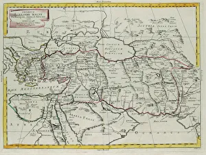
Background imageTerritory Collection: Empire of Alexander the Great covering Europe, Asia and Africa, engraving by G

Empire of Alexander the Great covering Europe, Asia and Africa, engraving by G. Zuliani taken from Tome IV of the "Newest Atlas" published in Venice in 1785 by Antonio Zatta

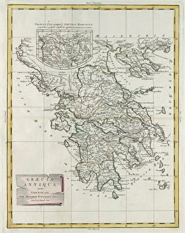
Background imageTerritory Collection: Ancient Greece, engraving by G. Zuliani taken from Tome IV of the 'Newest Atlas' published in

Ancient Greece, engraving by G. Zuliani taken from Tome IV of the "Newest Atlas" published in Venice in 1785 by Antonio Zatta, Private Collection Florence Engraving Eighteenth Century

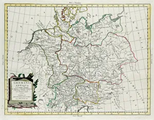
Background imageTerritory Collection: Ancient Germany divided into IV great peoples, distinguished by lesser and least tribes

Ancient Germany divided into IV great peoples, distinguished by lesser and least tribes and regions of the Danube contained between it and the Adriatic Sea, engraving by G

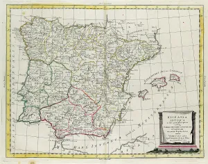
Background imageTerritory Collection: Ancient Spain divided into three distinct areas, namely Terraconensis, Lusitania and Baetica

Ancient Spain divided into three distinct areas, namely Terraconensis, Lusitania and Baetica and also divided into peoples, engraving by G

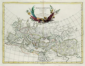
Background imageTerritory Collection: Western and Eastern Roman Empire, engraving by G. Zuliani taken from Tome IV of the 'Newest Atlas'

Western and Eastern Roman Empire, engraving by G. Zuliani taken from Tome IV of the "Newest Atlas" published in Venice in 1785 by Antonio Zatta

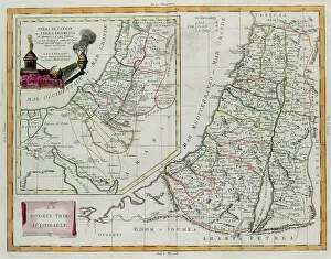
Background imageTerritory Collection: Land of Canaan, or the land promised to Abraham and his descendants

Land of Canaan, or the land promised to Abraham and his descendants, and the Twelve Tribes of Israel, engraving by G. Zuliani taken from Tome IV of the "Newest Atlas" published in Venice in

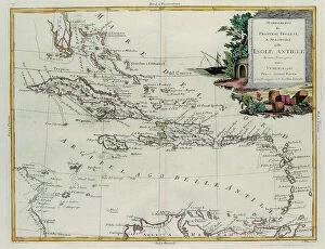
Background imageTerritory Collection: Establishments of the French, English and Spanish on the Antilles Islands, engraving by G

Establishments of the French, English and Spanish on the Antilles Islands, engraving by G. Zuliani taken from Tome IV of the "Newest Atlas" published in Venice in 1785 by Antonio Zatta

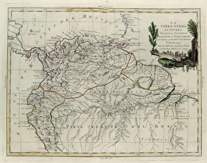
Background imageTerritory Collection: Terra Firma, Spanish, Dutch, French and Portguese Guyana and the northern part of Brazil

Terra Firma, Spanish, Dutch, French and Portguese Guyana and the northern part of Brazil, engraving by G. Zuliani taken from Tome IV of the "Newest Atlas" published in Venice in 1785 by

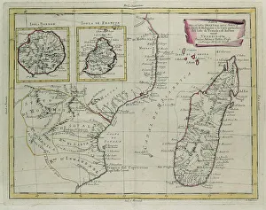
Background imageTerritory Collection: Part of the eastern coast of Africa with the Island of Madagascar

Part of the eastern coast of Africa with the Island of Madagascar and the detailed maps of the islands belonging to France and Bourbon, engraving by G

Background imageTerritory Collection: The Barbary Coast or The Kingdoms of Morocco, Fez, Algeria, Tunisia

The Barbary Coast or The Kingdoms of Morocco, Fez, Algeria, Tunisia and Tripoli with surrounding countries, engraving by G

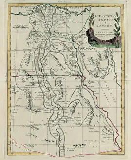
Background imageTerritory Collection: Ancient and Modern Egypt, engraving by G. Zuliani taken from Tome IV of the 'Newest Atlas'

Ancient and Modern Egypt, engraving by G. Zuliani taken from Tome IV of the "Newest Atlas" published in Venice in 1784 by Antonio Zatta

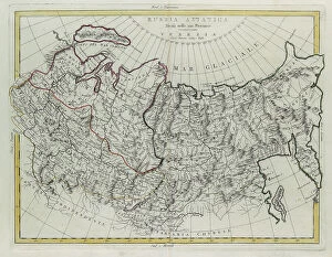
Background imageTerritory Collection: Asian Russia, divided into its provinces, engraving by G. Zuliani taken from Tome IV of

Asian Russia, divided into its provinces, engraving by G. Zuliani taken from Tome IV of the "Newest Atlas" published in Venice by Antonio Zatta

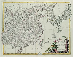
Background imageTerritory Collection: Chinese Empire with the islands of Japan, engraving by G. Zuliani taken from Tome IV of

Chinese Empire with the islands of Japan, engraving by G. Zuliani taken from Tome IV of the "Newest Atlas" published in Venice in 1784 by Antonio Zatta

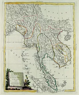
Background imageTerritory Collection: Kingdoms of Arakan, Pegu, Siam, Cambodia and Laos, engraving by G

Kingdoms of Arakan, Pegu, Siam, Cambodia and Laos, engraving by G. Zuliani taken from Tome IV of the "Newest Atlas" published in Venice in 1785 by Antonio Zatta


For sale as Licensed Images

Choose your image, Select your licence and Download the media

"Exploring the Rich Tapestry of Territory: From Ancient Empires to Majestic Landscapes" Embark on a captivating journey through time and space as we delve into the concept of territory. Let us begin our expedition with a glance at Scotland in the 1870s, where an intricate map unravels tales of clans and their territorial disputes. Shifting our focus eastward, we encounter a mesmerizing Map of the Ancient Persian Empire. Marvel at its vast expanse, once ruled by mighty kings who sought to expand their dominion across ancient lands. Transporting ourselves to Britain in 597 AD, another map reveals how territories evolved over centuries. Witness the birth of kingdoms and empires that shaped this island nation's history. As dusk descends upon Uluru, Ayers Rock in Australia, soak in nature's splendor while contemplating indigenous peoples' connection to their ancestral territories. The sunset paints vibrant hues across this sacred land. Journeying back to Europe, let us explore Ireland through a map from the 1870s. Discover its lush landscapes and ponder upon historical struggles for control over this enchanting island. Expand your horizons further with the World Map Empire McVitie; marvel at how various nations carved out their territories during different eras – each stroke representing power dynamics and conquests. Venturing into antiquity, immerse yourself in Alexander the Great's empire through an awe-inspiring map. Uncover his audacious quest for dominance as he conquered vast stretches of land under his rule. Witnessing nature's wonders takes flight as we observe a majestic Red Kite soaring above its nest territory in Lower Saxony, Germany. A symbol of freedom within defined boundaries - it reminds us that even wildlife has territorial instincts ingrained within them. Turning towards spiritual realms brings us face-to-face with Palestine and Holy Land on an intricately detailed map. Contemplate millennia-old conflicts rooted deeply in territorial claims and religious significance.