
Maps Collection
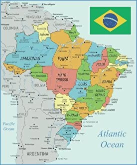
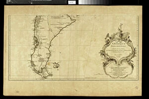
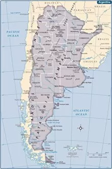
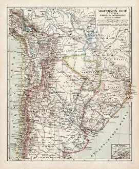
Argentina is a country located in South America, bordered by Chile to the west and south, Bolivia and Paraguay to the north
Choose a picture from our Maps Collection for your Wall Art and Photo Gifts
101 items


All Professionally Made to Order for Quick Shipping
-
Maps Collection
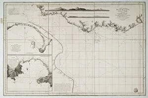
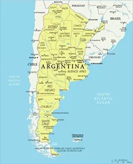
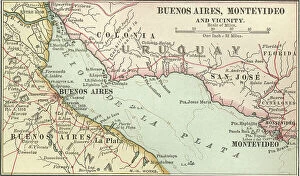
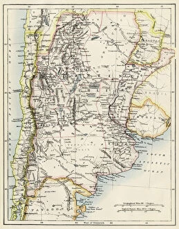
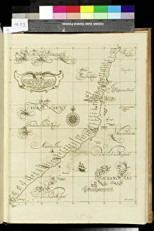
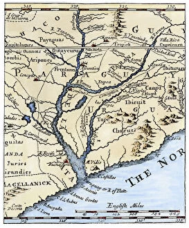
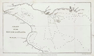
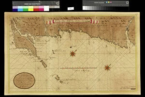
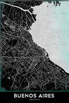
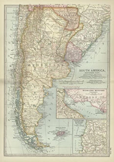
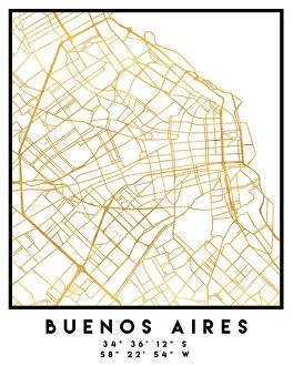
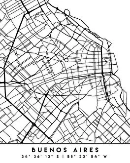
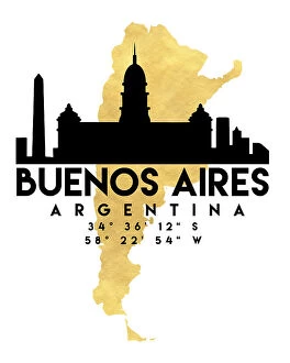
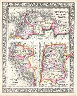
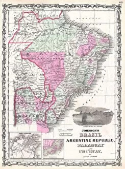
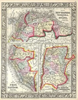
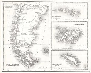
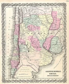
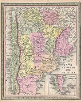
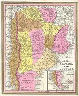
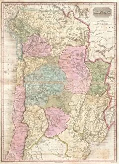
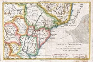
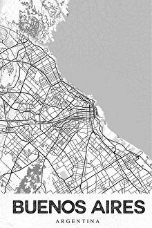
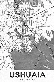
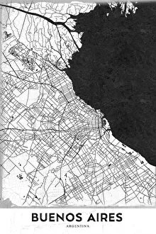
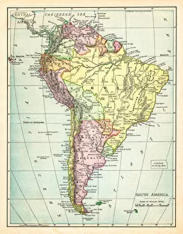
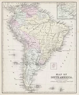
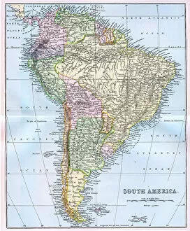
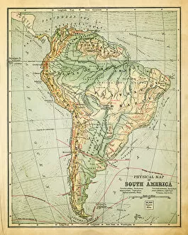
Argentina is a country located in South America, bordered by Chile to the west and south, Bolivia and Paraguay to the north, and Brazil and Uruguay to the northeast. Maps ofprovide an overview of its geography, showing its provinces, major cities, rivers, lakes and mountain ranges. The country has a wide variety of climates ranging from subtropical in the north to temperate in the south. Its terrain is mostly flat with some areas of low hills or mountains. Argentina's economy is one of Latin America's most developed with a strong agricultural sector as well as manufacturing industries such as automobiles and electronics. It also has abundant natural resources including oil reserves which have made it an important player on the global energy market. Maps ofare essential for anyone looking to explore this fascinating country with its unique culture and history.
+
Our beautiful pictures are available as Framed Prints, Photos, Wall Art and Photo Gifts
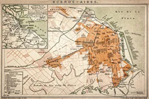
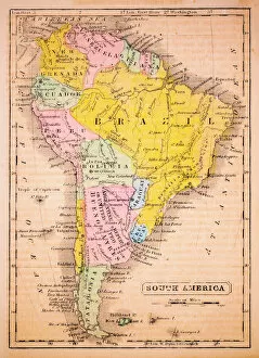
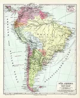
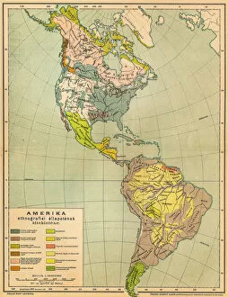
The Maps of Argentina South America collection from Media Storehouse is a stunning compilation of vintage and contemporary maps that showcase the beauty and diversity of this fascinating country. Our collection features a wide range of maps, including topographical, political, geological, historical, and cultural maps that provide an in-depth look at Argentina's geography, history, culture, and economy. Each map is carefully selected for its accuracy and aesthetic appeal and is available as wall art or framed prints to suit any decor style. Whether you're looking to decorate your home or office with a unique piece of art or want to give someone special a thoughtful gift that celebrates their love for travel or geography, the Maps of Argentina South America collection has something for everyone. With its rich history and diverse landscapes ranging from snow-capped mountains to tropical rainforests to arid deserts and bustling cities like Buenos Aires, Argentina is truly one-of-a-kind. And with the Maps of Argentina South America collection from Media Storehouse at your fingertips, you can explore this amazing country without ever leaving your home.
+
What are Maps of Argentina South America art prints?
Maps of Argentina South America art prints are high-quality reproductions of vintage and contemporary maps depicting the geography, topography, and landmarks of Argentina. These prints showcase the beauty and diversity of this vast country, from its snow-capped Andean peaks to its lush rainforests and arid deserts. These art prints are perfect for anyone who loves travel, history or geography. They make great gifts for those who have visited or plan to visit Argentina, as well as for collectors interested in cartography or cultural heritage. We offer a wide range of Maps of Argentina South America art prints in various sizes and formats such as canvas print or framed print. The collection includes antique maps dating back to the 16th century as well as modern-day satellite imagery. All our prints are produced using state-of-the-art printing technology ensuring that they capture every detail with stunning clarity.
+
What Maps of Argentina South America art prints can I buy from Media Storehouse?
We offer a wide range of Maps of Argentina South America art prints that are perfect for anyone who loves geography or wants to decorate their home with unique and interesting artwork. These maps showcase the beautiful landscapes, cities, and regions of Argentina in stunning detail, allowing you to explore this fascinating country from the comfort of your own home. Whether you're looking for vintage-style maps that capture the history and culture of Argentina or more modern designs that highlight its natural beauty and landmarks, we have something for everyone. You can choose from a variety of sizes and formats to suit your needs, including framed prints, canvas prints, posters, and more. So if you're interested in adding some Maps of Argentina South America art prints to your collection or want to give a thoughtful gift to someone who loves travel or geography, be sure to check out our selection today.
+
How do I buy Maps of Argentina South America art prints?
To purchase Maps of Argentina South America art prints, you can visit our online gallery. Once there, you can browse through the available options and select the print that best suits your needs. The prints are available in various sizes and formats, including framed or unframed options. To make a purchase, simply add the desired print to your cart and proceed to checkout. You will be prompted to enter your shipping information and payment details before completing the transaction. We offer high-quality art prints that are perfect for adding a touch of sophistication to any space. Whether you're looking for a unique piece of wall decor or a thoughtful gift for someone special, their selection of Maps of Argentina South America art prints is sure to impress. So why wait? Start exploring our collection today.
+
How much do Maps of Argentina South America art prints cost?
We offer a wide range of Maps of Argentina South America art prints at varying prices. Our selection includes vintage and modern maps, as well as detailed topographical maps that showcase the diverse geography of this beautiful region. The cost of our art prints depends on several factors such as size, framing options, and paper quality. We strive to provide affordable options for all budgets while maintaining high-quality standards in our products. Our art prints are perfect for decorating your home or office with unique and eye-catching pieces that celebrate the beauty and history of Argentina South America. Whether you're looking for a small print to add to your collection or a large statement piece to make an impact in any room, we have something for everyone at Media Storehouse.
+
How will my Maps of Argentina South America art prints be delivered to me?
We take great care in delivering your Maps of Argentina South America art prints to you. We use a reliable and trusted courier service that ensures the safe delivery of your order. Your print will be carefully packaged to prevent any damage during transit. We offer a range of delivery options depending on your location and urgency, including standard and express shipping. Once your order has been dispatched, you will receive an email with tracking information so you can keep track of its progress. If for any reason there is an issue with your delivery or if you have any questions about our delivery process, please do not hesitate to contact our customer service team who are always happy to help. We want you to enjoy your Maps of Argentina South America art prints as soon as possible, which is why we aim to deliver them promptly and securely.