
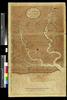
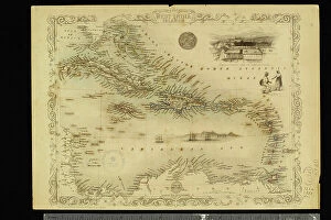
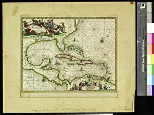
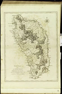
Amerique Du Nord Collection (#8)
"Discover the Rich History and Cultural Tapestry of Amerique du Nord" Step into the past with a vibrant poster advertising the Hamburg-Amerika Linie


For sale as Licensed Images
Choose your image, Select your licence and Download the media
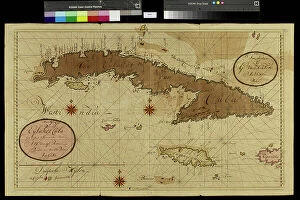
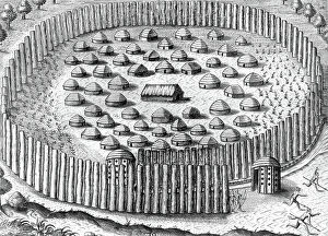
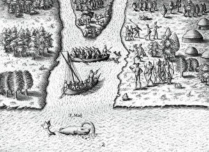
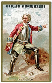
"Discover the Rich History and Cultural Tapestry of Amerique du Nord" Step into the past with a vibrant poster advertising the Hamburg-Amerika Linie, showcasing the allure of transatlantic travel. Immerse yourself in breathtaking landscapes as you gaze upon mesmerizing oil paintings like "Icebergs, 1861, " capturing the raw beauty and power of nature. Experience the enchanting charm of city life through masterpieces such as "Nocturne: Blue and Gold - Old Battersea Bridge, 1863, " where London's nocturnal glow comes to life on canvas. Delve into pivotal moments in history with "The Siege of Yorktown (1781), 1836, " depicting a crucial turning point during the American Revolution. Witness poignant scenes that shed light on societal struggles, like "A Cotton Office in New Orleans, 1873, " which portrays the complex dynamics surrounding slavery. Reflect on humanity's progress as you observe images like "Sale of slaves in Virginia, 1861, " reminding us of our collective journey towards equality. Marvel at medical advancements that shaped modern healthcare; from Horace Wells' pioneering dental extraction demonstration in front of his students to William Morton's groundbreaking surgical operation using sulfuric ether anesthesia at Boston Hospital. Trace Amerique du Nord's maritime heritage through captivating illustrations such as Raoul du Gardier's depiction of Le Normandie arriving at New York Harbor in 1935. Explore literary classics like Harriet Beecher Stowe's influential novel Uncle Tom’s Cabin brought to life by George Cruikshank’s evocative illustrations. Amerique du Nord beckons you to embark on an immersive journey through time – where art intertwines with history and narratives unfold before your eyes. Discover this fascinating continent filled with diverse stories waiting to be explored.