
Carte Geographique Collection
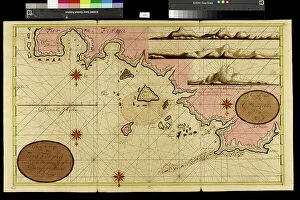
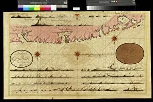
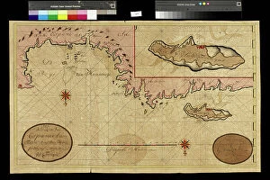
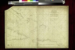
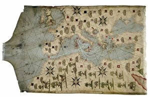
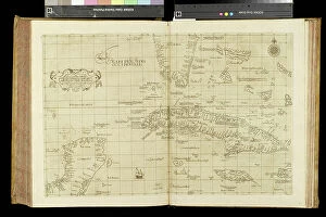
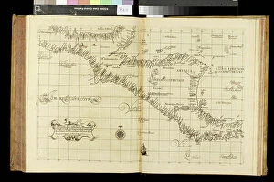
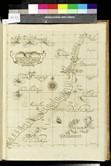
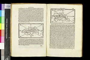
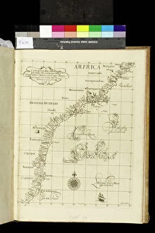
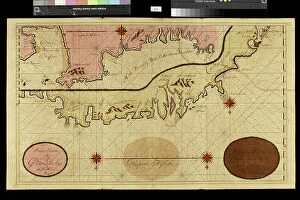
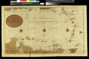
"Exploring the World Through Carte Geographique: A Journey Across Time and Space" Step into the past as we delve into the captivating world of "carte geographique


For sale as Licensed Images
Choose your image, Select your licence and Download the media
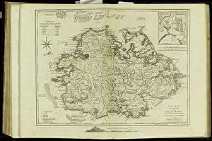
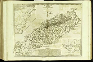
"Exploring the World Through Carte Geographique: A Journey Across Time and Space" Step into the past as we delve into the captivating world of "carte geographique, " where art, history, and geography intertwine to paint a vivid picture of our planet's evolution. In 1667, Colbert presents Louis XIV with an oil on canvas masterpiece depicting members of the Royal Academy of Sciences. This remarkable artwork not only showcases their brilliance but also highlights the importance of cartography in understanding our world. Traveling further through time, we encounter a representation of a geographic map from late 19th-century France. Astonishingly, this map reveals areas corresponding to diseases such as scrofula, phthisis, malaria, goiter and cretinism, pellagra, and moth – reminding us that geography is not merely about landforms but also encompasses human health. The year 1922 witnesses Benito Mussolini seizing power in Italy – an event immortalized in an illustration that demonstrates how maps can capture significant historical moments. Similarly capturing history is Lady Brassey's illustrated journey "Around the World with Family" from 1887; it serves as a testament to both exploration and familial bonds. Continuing our voyage through visual representations, Constant Amero's illustrations take us back to late 19th-century Paris during the Tour de France. These images transport us to an era when cycling became intertwined with French culture and identity. Shifting focus towards specific locations within maps themselves brings forth intriguing details. A circa 1930 illustration unveils a map showcasing Paris' intricate layout – its streets forming a labyrinth waiting for adventurers to explore. Meanwhile, Lustucru pasta takes center stage in another illustration from 1934 - reminding us that even culinary delights find their place on geographical canvases.