Street Plan Collection (#8)

"Exploring the Streets of Old London

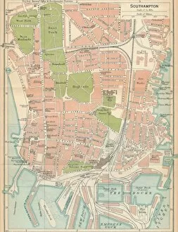
Background imageStreet Plan Collection: Southampton, c20th Century. Artist: John Bartholomew

Southampton, c20th Century. Artist: John Bartholomew
Southampton, c20th Century. [John Bartholomew & Son, Edinburgh]

Background imageStreet Plan Collection: Bournemouth, c20th Century. Artist: John Bartholomew

Bournemouth, c20th Century. Artist: John Bartholomew
Bournemouth, c20th Century. [John Bartholomew & Son, Edinburgh]

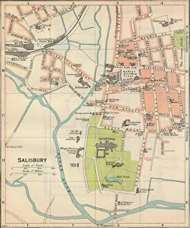
Background imageStreet Plan Collection: Salisbury, c20th Century. Artist: John Bartholomew

Salisbury, c20th Century. Artist: John Bartholomew
Salisbury, c20th Century. [John Bartholomew & Son, Edinburgh]

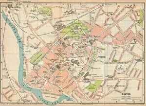
Background imageStreet Plan Collection: Exeter, c20th Century. Artist: John Bartholomew

Exeter, c20th Century. Artist: John Bartholomew
Exeter, c20th Century. [John Bartholomew & Son, Edinburgh]

Background imageStreet Plan Collection: Central Bristol c20th Century. Artist: John Bartholomew

Central Bristol c20th Century. Artist: John Bartholomew
Central Bristol, c20th Century. [John Bartholomew & Son, Edinburgh]

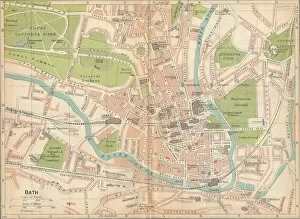
Background imageStreet Plan Collection: Bath c20th Century. Artist: John Bartholomew

Bath c20th Century. Artist: John Bartholomew
Bath, c20th Century. [John Bartholomew & Son, Edinburgh]

Background imageStreet Plan Collection: Winchester, c20th Century. Artist: John Bartholomew

Winchester, c20th Century. Artist: John Bartholomew
Winchester, c20th Century. [John Bartholomew & Son, Edinburgh]

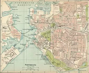
Background imageStreet Plan Collection: Portsmouth, c20th Century. Artist: John Bartholomew

Portsmouth, c20th Century. Artist: John Bartholomew
Portsmouth, c20th Century. [John Bartholomew & Son, Edinburgh]

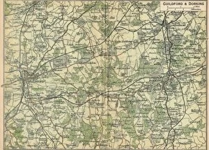
Background imageStreet Plan Collection: Guildford & Dorking, c20th Century. Artist: John Bartholomew

Guildford & Dorking, c20th Century. Artist: John Bartholomew
Guildford & Dorking, c20th Century. [John Bartholomew & Son, Edinburgh]

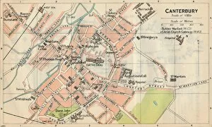
Background imageStreet Plan Collection: Canterbury, c20th Century. Artist: John Bartholomew

Canterbury, c20th Century. Artist: John Bartholomew
Canterbury, c20th Century. [John Bartholomew & Son, Edinburgh]

Background imageStreet Plan Collection: Folkestone, c20th Century. Artist: John Bartholomew

Folkestone, c20th Century. Artist: John Bartholomew
Folkestone, c20th Century. [John Bartholomew & Son, Edinburgh]

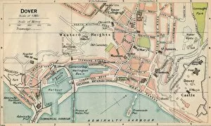
Background imageStreet Plan Collection: Dover, c20th Century. Artist: John Bartholomew

Dover, c20th Century. Artist: John Bartholomew
Dover, c20th Century. [John Bartholomew & Son, Edinburgh]

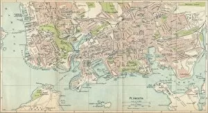
Background imageStreet Plan Collection: Plymouth, c20th Century. Artist: John Bartholomew

Plymouth, c20th Century. Artist: John Bartholomew
Plymouth, c20th Century. [John Bartholomew & Son, Edinburgh]

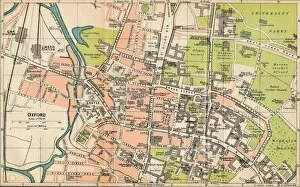
Background imageStreet Plan Collection: Oxford, c20th Century. Artist: John Bartholomew

Oxford, c20th Century. Artist: John Bartholomew
Oxford, c20th Century. [John Bartholomew & Son, Edinburgh]

Background imageStreet Plan Collection: Stratford on Avon, c20th Century. Artist: John Bartholomew

Stratford on Avon, c20th Century. Artist: John Bartholomew
Stratford on Avon, c20th Century. [John Bartholomew & Son, Edinburgh]

Background imageStreet Plan Collection: Norwich, c20th Century. Artist: John Bartholomew

Norwich, c20th Century. Artist: John Bartholomew
Norwich, c20th Century. [John Bartholomew & Son, Edinburgh]

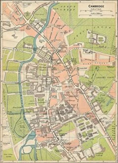
Background imageStreet Plan Collection: Cambridge, c20th Century. Artist: John Bartholomew

Cambridge, c20th Century. Artist: John Bartholomew
Cambridge, c20th Century. [John Bartholomew & Son, Edinburgh]

Background imageStreet Plan Collection: Worcester, c20th Century. Artist: John Bartholomew

Worcester, c20th Century. Artist: John Bartholomew
Worcester, c20th Century. [John Bartholomew & Son, Edinburgh]

Background imageStreet Plan Collection: Shrewsbury, c20th Century. Artist: John Bartholomew

Shrewsbury, c20th Century. Artist: John Bartholomew
Shrewsbury, c20th Century. [John Bartholomew & Son, Edinburgh]

Background imageStreet Plan Collection: Central Birmingham, c20th Century. Artist: John Bartholomew

Central Birmingham, c20th Century. Artist: John Bartholomew
Central Birmingham, c20th Century. [John Bartholomew & Son, Edinburgh]

Background imageStreet Plan Collection: York, c20th Century. Artist: John Bartholomew

York, c20th Century. Artist: John Bartholomew
York, c20th Century. [John Bartholomew & Son, Edinburgh]

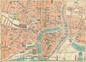
Background imageStreet Plan Collection: Hull, c20th Century. Artist: John Bartholomew

Hull, c20th Century. Artist: John Bartholomew
Hull, c20th Century. [John Bartholomew & Son, Edinburgh]

Background imageStreet Plan Collection: Hereford, c20th Century. Artist: John Bartholomew

Hereford, c20th Century. Artist: John Bartholomew
Hereford, c20th Century. [John Bartholomew & Son, Edinburgh]

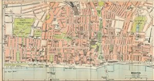
Background imageStreet Plan Collection: Brighton, c20th Century. Artist: John Bartholomew

Brighton, c20th Century. Artist: John Bartholomew
Brighton, c20th Century. [John Bartholomew & Son, Edinburgh]

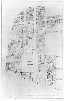
Background imageStreet Plan Collection: Plan of the Duke of Portlands estate, Soho Square, London, 1907

Plan of the Duke of Portlands estate, Soho Square, London, 1907. A print from The History of the Squares of London Topographical and Historical by E Beresford Chancellor, Kegan Paul, Trench

Background imageStreet Plan Collection: Plan of Lord Harleys estate, London, 1907

Plan of Lord Harleys estate, London, 1907. A print from The History of the Squares of London Topographical and Historical by E Beresford Chancellor, Kegan Paul, Trench, Trubner and Co Ltd, London

Background imageStreet Plan Collection: President Kruger looking at a plan of the New Pretoria, 1900

President Kruger looking at a plan of the New Pretoria, 1900. Satirical cartoon showing Boer leader Paul Kruger, President of the South African Republic (Transvaal)

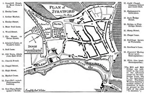
Background imageStreet Plan Collection: Map of Stratford-upon-Avon, Warwickshire, 1759 (1885). Artist: Edward Hull

Map of Stratford-upon-Avon, Warwickshire, 1759 (1885). Artist: Edward Hull
Map of Stratford-upon-Avon, Warwickshire, 1759 (1885). Indicated are all the features familiar to the Shakespeares. From Stratford-on-Avon, from the Earliest Time to the Death of William Shakespeare
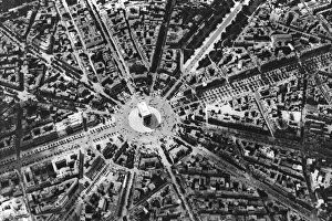
Background imageStreet Plan Collection: A birds eye view of the Place de L Etoile and the Arc de Triomphe, Paris, 1931

A birds eye view of the Place de L Etoile and the Arc de Triomphe, Paris, 1931. Artist: Ernest Flammarion
A birds eye view of the Place de L Etoile and the Arc de Triomphe, Paris, 1931. Illustration from the book Paris published by Ernest Flammarion, (1931)

Background imageStreet Plan Collection: A plan of the city of Cologne

A plan of the city of Cologne. Hand-coloured later

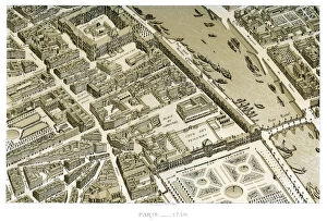
Background imageStreet Plan Collection: Paris, France, c1730

Paris, France, c1730. Fragment view of Paris as drawn under the orders of Michel Etienne Turgot. Visible landmarks are the Louvre, the Tuileries, and the Pont Royal over the River Seine

Background imageStreet Plan Collection: Moscow, from Geographie Blaviane, 1662 (hand coloured etching)

Moscow, from Geographie Blaviane, 1662 (hand coloured etching)
XYC251517 Moscow, from Geographie Blaviane, 1662 (hand coloured etching) by Blaeu, Joan (1596-1673); 37.2x48.7 cm; Yale Center for British Art, Paul Mellon Collection, USA; Dutch, out of copyright

Background imageStreet Plan Collection: Drawings Prints, Drawing, La, Halle, aux, Bles, Street Plan, Artist, Pierre, Francois

Drawings Prints, Drawing, La, Halle, aux, Bles, Street Plan, Artist, Pierre, Francois
Drawings and Prints, Drawing, La Halle aux Bles, Street Plan, Artist, Pierre Francois Leonard Fontaine, French, Pontoise 1762-1853 Paris, Fontaine, Pierre Francois Leonard, French, 1762, 1853, ca

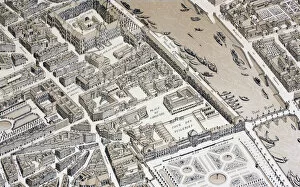
Background imageStreet Plan Collection: Birds Eye View of Paris in 1730, 1875 (litho)

Birds Eye View of Paris in 1730, 1875 (litho)
KW421795 Birds Eye View of Paris in 1730, 1875 (litho) by French School, (19th century); Private Collection; (add.info.: Illustration from XVIII Siecle Institutions, Usages et Costumes pub)

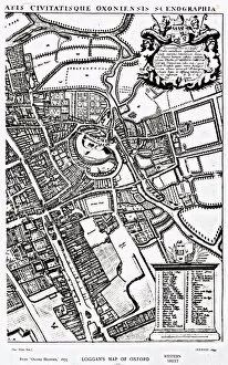
Background imageStreet Plan Collection: Loggans map of Oxford, Western Sheet, from Oxonia Illustrated, published 1675

Loggans map of Oxford, Western Sheet, from Oxonia Illustrated, published 1675
XJF308734 Loggans map of Oxford, Western Sheet, from Oxonia Illustrated, published 1675 (engraving) by Loggan, David (1633/35-92); Private Collection; English, out of copyright

Background imageStreet Plan Collection: Loggans map of Oxford, Eastern Sheet, from Oxonia Illustrated, published 1675

Loggans map of Oxford, Eastern Sheet, from Oxonia Illustrated, published 1675
XJF308733 Loggans map of Oxford, Eastern Sheet, from Oxonia Illustrated, published 1675 (engraving) by Loggan, David (1633/35-92); Private Collection; English, out of copyright

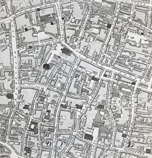
Background imageStreet Plan Collection: Street map of London around Guildhall, c. 1795 (print)

Street map of London around Guildhall, c. 1795 (print)
XJF2639719 Street map of London around Guildhall, c.1795 (print) by Horwood, Richard (1758-1803); Private Collection; (add.info)

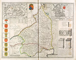
Background imageStreet Plan Collection: Map of Northumberland, from The Theatre of the Empire of Great Britaine

Map of Northumberland, from The Theatre of the Empire of Great Britaine
XYC251513 Map of Northumberland, from The Theatre of the Empire of Great Britaine, 1611-12 (coloured engraving) by Speed, John (1552-1629); 38.3x50.9 cm; Yale Center for British Art


For sale as Licensed Images

Choose your image, Select your licence and Download the media

"Exploring the Streets of Old London: A Glimpse into the City's Past" Step back in time with these fascinating street plans that offer a captivating glimpse into the history of London. Delve into the past with an old street map of Bethnal Green and Hackney from 1908, revealing the intricate layout of these vibrant neighborhoods. Travel further east to The Isle of Dogs and discover how it looked in 1908, as you navigate its streets alongside the majestic River Thames at Greenwich. Uncover a hidden gem in Warwickshire with a village plan of Kineton dating back to 1885-1887, showcasing its quaint charm through an unknown creator's artistic vision. Dive beneath the surface as you explore sewer depths in the City of London from 1944, presented vividly through a colorful lithograph that reveals this crucial infrastructure. Journey northwards to Hamstead, Holloway, and Islington using an old street map from 1908; witness how these areas have evolved over time while retaining their unique character. Immerse yourself in grandeur as you traverse The Strand and West End on an exquisite street map from 1908; marvel at its architectural splendor while tracing your steps along the River Thames. Transport yourself to Victorian-era London with engravings depicting iconic routes such as Finsbury Circus to "Angel" Islington via City Road (1888), Euston Road to Paddington via Marylebone Road (1888), and Tottenham Court Road to Camden Town via Hampstead Road (1888). Admire Burlington House on Piccadilly through Johannes Kip's early 18th-century artwork (1908); get lost in its timeless beauty amidst one of London's most prestigious locations.