Street Plan Collection (#9)
"Exploring the Streets of Old London
For sale as Licensed Images
Choose your image, Select your licence and Download the media
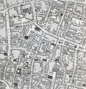
"Exploring the Streets of Old London: A Glimpse into the City's Past" Step back in time with these fascinating street plans that offer a captivating glimpse into the history of London. Delve into the past with an old street map of Bethnal Green and Hackney from 1908, revealing the intricate layout of these vibrant neighborhoods. Travel further east to The Isle of Dogs and discover how it looked in 1908, as you navigate its streets alongside the majestic River Thames at Greenwich. Uncover a hidden gem in Warwickshire with a village plan of Kineton dating back to 1885-1887, showcasing its quaint charm through an unknown creator's artistic vision. Dive beneath the surface as you explore sewer depths in the City of London from 1944, presented vividly through a colorful lithograph that reveals this crucial infrastructure. Journey northwards to Hamstead, Holloway, and Islington using an old street map from 1908; witness how these areas have evolved over time while retaining their unique character. Immerse yourself in grandeur as you traverse The Strand and West End on an exquisite street map from 1908; marvel at its architectural splendor while tracing your steps along the River Thames. Transport yourself to Victorian-era London with engravings depicting iconic routes such as Finsbury Circus to "Angel" Islington via City Road (1888), Euston Road to Paddington via Marylebone Road (1888), and Tottenham Court Road to Camden Town via Hampstead Road (1888). Admire Burlington House on Piccadilly through Johannes Kip's early 18th-century artwork (1908); get lost in its timeless beauty amidst one of London's most prestigious locations.


